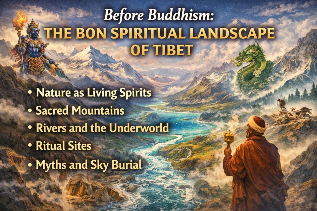
Before Buddhism reached Tibet in the 7th century, the dominant belief system was Bon . Bon was not built around temples or scriptures at first; it was built around mountains, rivers, sky, and weather . It treated the land itself as alive and powerful. This is how Tibet first became a sacred landscape long before Buddhist philosophy arrived.
Nature as Living Spirits, Not Dead Matter
Bon viewed the world as filled with spirits and forces (called *lha*, *klu*, and *dre*).
• Mountains were powerful sky spirits (*lha*)
• Rivers and lakes were water spirits (*klu*, similar to nagas)
• Winds and storms were roaming entities
• Valleys and passes had guardian beings
This meant geography was not neutral. A cliff could be dangerous because of its spirit, and a lake could be holy because of the deity living in it. The landscape was treated like a community of beings rather than a collection of objects.
Sacred Mountains as Clan Protectors
Many Tibetan clans identified themselves with specific mountain deities . These mountains were believed to protect the tribe, control weather, and ensure fertility of herds. Rituals were performed at the foot of peaks to appease these gods so that:
• snow would melt properly
• grass would grow
• diseases would be avoided
This turned certain mountains into territorial markers of identity. Geography became tied to social order: land, clan, and god were linked.
Rivers, Lakes, and the Underworld
Bon cosmology divided the universe into:
• Upper world (sky spirits)
• Middle world (humans)
• Lower world (water and earth spirits)
Lakes and rivers were entrances to the lower world. Disturbing them—by polluting water or digging land carelessly—could anger spirits and cause illness or drought. This created an early form of spiritual ecology , where respect for land was tied to survival.
Ritual Geography: Where You Perform Matters
Bon rituals were location-specific. Certain ceremonies had to be done:
• at river sources
• on mountain passes
• in caves
• at crossroads
These places were believed to be points where spiritual and physical worlds met. Over time, a map of ritual sites formed across Tibet: some places for healing, some for weather control, some for protection from demons. This was the first version of Tibet as a “religious map.”
Mythic History Written onto the Land
Bon myths explained Tibet itself as a sacred body. One famous myth says Tibet lay on a giant demoness whose body had to be pinned down by sacred sites to stabilize the land. This story literally turns geography into a spiritual anatomy:
• mountains = limbs
• valleys = organs
• lakes = vital points
Later Buddhism reused this idea, but the logic came from Bon: the land has a spiritual structure that must be balanced.
Caves and Sky Burial
Bon also sacralized specific landforms through death rituals.
• Caves were portals to other worlds
• High plateaus were used for sky burial
• Cliffs became ritual disposal places
These practices reinforced the idea that earth, sky, and body are part of one cosmic cycle. Geography was not separate from life and death—it was the medium through which they happened.
How Buddhism Adopted Bon’s Sacred Geography
When Buddhism entered Tibet, it did not erase Bon’s landscape beliefs. Instead, it translated them :
• mountain gods became Buddhist protectors (dharmapalas)
• water spirits became nagas
• sacred peaks became mandalas
• pilgrimage routes replaced propitiation rituals
So the Buddhist “living religious map” of Tibet rests on a Bon foundation. Bon supplied the idea that land itself is holy; Buddhism supplied the philosophical system to interpret it.