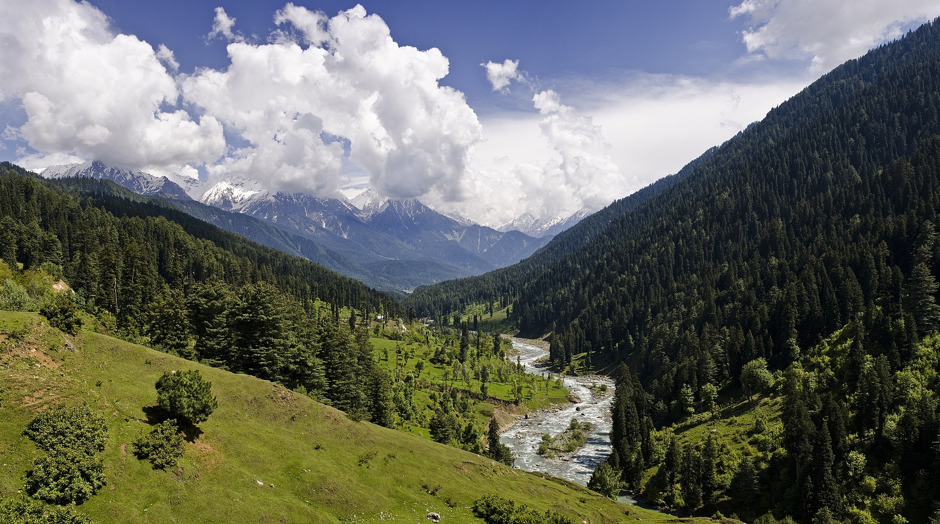

Image Source: Daksh Jairath
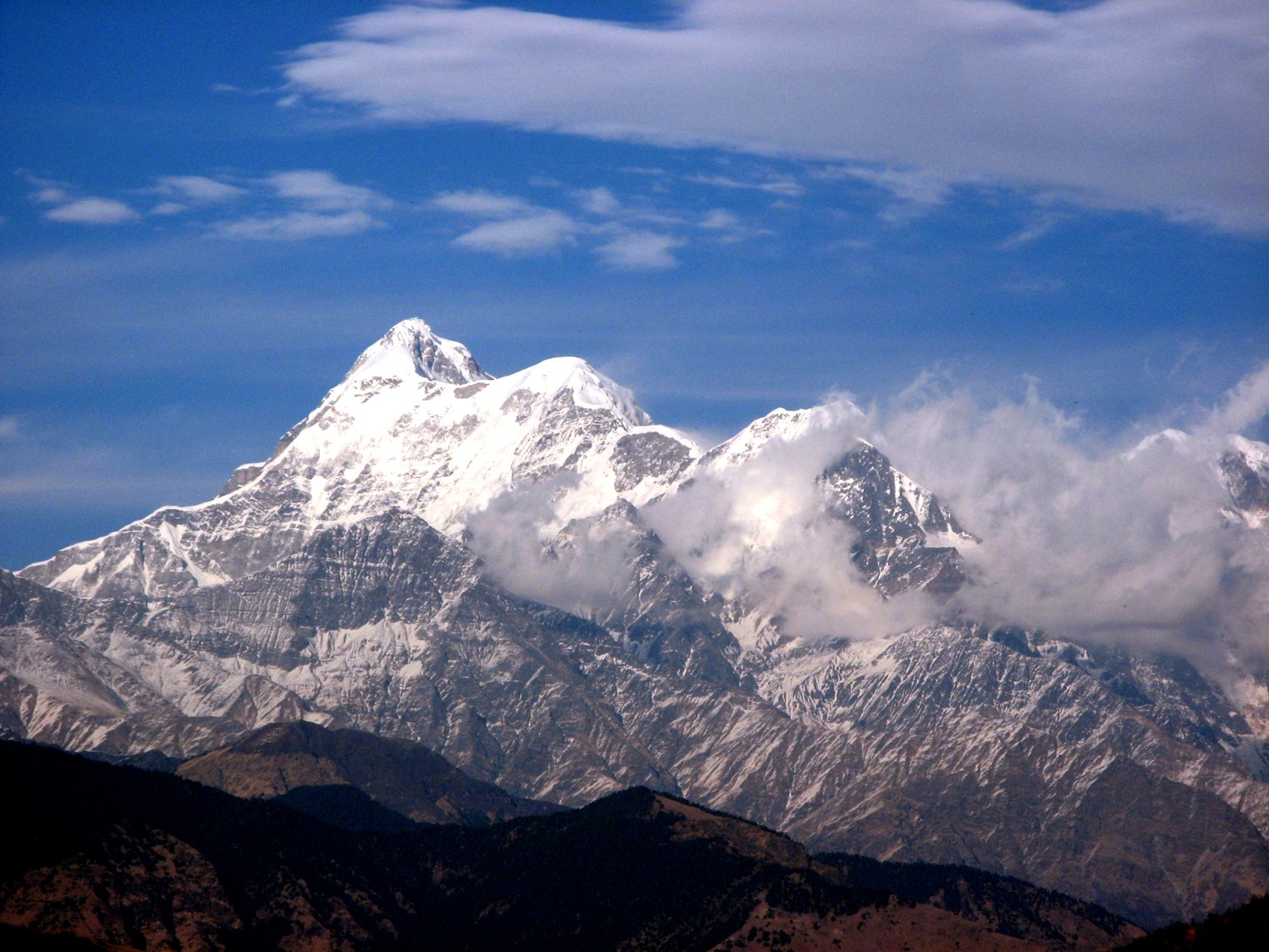
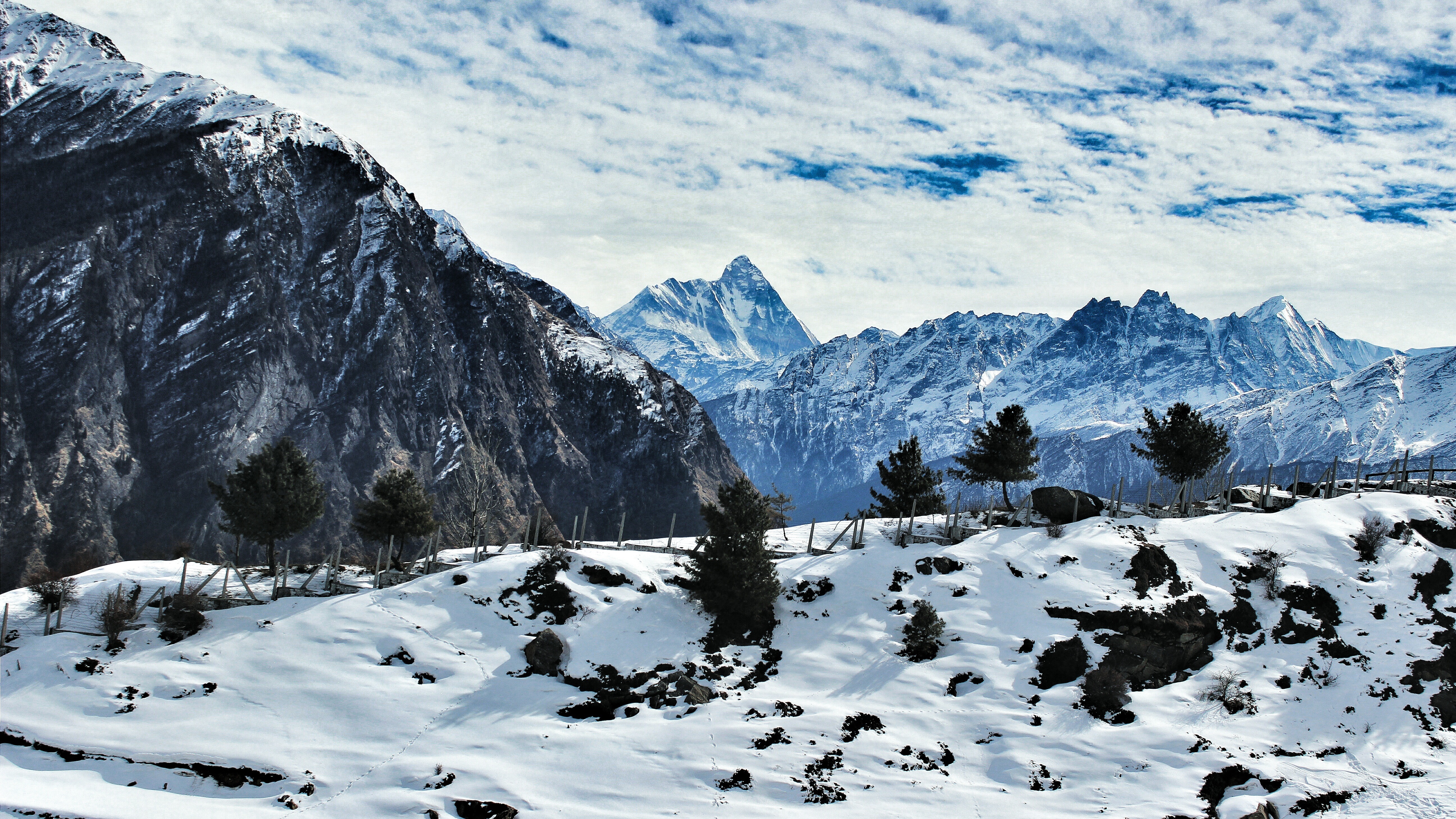
Hidden deep in the Garhwal Himalayas, the Bagini Glacier Trek is one of Uttarakhand’s most rewarding high-altitude adventures. The trek takes you through remote mountain villages, alpine meadows, glacial landscapes, and dramatic valleys while offering breathtaking views of some of India’s most majestic Himalayan peaks. Over the course of 5–7 days, trekkers get close views of towering mountains such as Changabang, Dunagiri, Trisul, Kalanka, Hardeol, and Rishi Pahar.
Unlike many crowded Himalayan routes, the Bagini Glacier trail remains relatively untouched, making it perfect for trekkers looking for solitude and raw mountain beauty. The trek combines mythological significance, rugged terrain, glacier views, and high-altitude camping, creating an unforgettable Himalayan experience.
About the Bagini Glacier Trek
The trek is located in the Chamoli district of Uttarakhand near the Indo-Tibetan border region. Starting from the remote village of Jumma, the trail gradually climbs through dense forests, rocky ridges, streams, and alpine campsites before reaching the Bagini Glacier Base Camp at an altitude of around 4,480 meters.
One of the most fascinating aspects of this trek is its constantly changing scenery. The lower regions are dotted with traditional Himalayan villages and green landscapes, while the upper stretches become increasingly barren and dramatic, with moraine fields and icy glacial terrain dominating the landscape.
The trek is also famous among experienced trekkers and mountaineers because it provides close access to the bases of several technical Himalayan peaks. The panoramic mountain views from the upper camps are among the finest in Uttarakhand.
Detailed Itinerary for the Bagini Glacier Trek
Day 1 – Arrival at Joshimath
The journey begins with your arrival at Joshimath, one of the major mountain towns in the Garhwal region. Joshimath is located approximately 275 km from Haridwar and the drive usually takes around 10–12 hours depending on road and weather conditions.
The route itself is incredibly scenic, passing alongside the Alaknanda River, mountain valleys, and famous hill towns. Upon reaching Joshimath, trekkers usually spend the evening resting and acclimatizing to the higher altitude. The town offers several guesthouses, lodges, and hotels for overnight stays.
Joshimath also holds immense religious importance and serves as the gateway to destinations like Auli, Badrinath, and the Valley of Flowers.
Day 2 – Joshimath to Jumma and Trek to Ruing Village
From Joshimath, a drive of around 45 km takes you to Jumma, the last motorable point of the trek. The road journey passes through narrow mountain roads and remote Himalayan settlements.
The actual trekking begins from Jumma. From here, a short but beautiful 3 km trek leads to Ruing Village. The trail passes through forested paths and traditional mountain terrain, offering the first glimpse of the rugged Himalayan wilderness.
Ruing Village is a peaceful campsite surrounded by mountains and open landscapes. Spending the night here allows trekkers to slowly adapt to the altitude while enjoying the calm atmosphere of the region.
Day 3 – Ruing Village to Dronagiri Village (8 km)
The trek from Ruing Village to Dronagiri Village is one of the culturally significant sections of the journey. Dronagiri is deeply connected to Hindu mythology and is believed to be associated with the Ramayana.
According to legend, Lord Hanuman visited this region while searching for the Sanjeevani herb to save Lakshmana during the battle in Lanka. It is believed that when Hanuman could not identify the herb, he carried the entire mountain back with him. Because of this story, the region carries spiritual and mythological importance among locals.
The trail gradually ascends through rocky sections, mountain streams, and open Himalayan terrain. Along the route, trekkers can enjoy spectacular views of surrounding peaks and valleys. Dronagiri Village itself is one of the oldest Himalayan settlements in the region and reflects the traditional lifestyle of the mountain communities.
Day 4 – Dronagiri Village to Bagini Glacier Base Camp via Langatoli (11 km)
This is one of the most challenging yet visually rewarding days of the trek. The trail becomes steeper and more rugged as you move deeper into the high Himalayas.
After leaving Dronagiri Village, trekkers cross a cemented bridge over the Bagini stream. From here, the route follows the trail toward Langatoli. Care must be taken during this section because the terrain becomes rocky and uneven.
Langatoli is a stunning high-altitude campsite surrounded by magnificent Himalayan peaks. The sight of Trisul, Hardeol, Rishi Pahar, and Satminal rising above the valley creates a truly unforgettable atmosphere. Many trekkers consider this campsite one of the highlights of the entire journey.
Beyond Langatoli, the trail continues over moraine ridges and boulder-filled sections alongside the Bagini River before eventually reaching the Bagini Glacier Base Camp at approximately 4,480 meters above sea level.
Camping at the base camp is an incredible experience. At night, the sky fills with countless stars while snow-covered peaks glow under moonlight.
Day 5 – Bagini Glacier Base Camp to Rishi Kund Viewpoint and Changabang Base Camp (3 km)
Trekkers usually begin early in the morning to witness sunrise over the Himalayan peaks. The golden sunlight slowly illuminating the snow-covered mountains is one of the most magical moments of the trek.
The trail continues toward the upper ridges leading to viewpoints near Changabang Base Camp and Rishi Kund. From these higher sections, trekkers are rewarded with close and uninterrupted views of Kalanka, Rishi Pahar, Hardeol, and Changabang.
The glacier landscapes here are dramatic and raw, with massive ice formations, rocky ridges, and towering mountain walls dominating the surroundings. Photography enthusiasts often find this section especially rewarding because of the panoramic Himalayan scenery.
Day 6 – Changabang Base Camp to Dronagiri Village (13 km)
After spending time at the glacier region, the return trek begins. The descent follows the same route back through Langatoli toward Dronagiri Village.
Descending through the same landscapes often offers a completely different perspective of the valley and surrounding mountains. Trekkers can enjoy the final views of the Himalayan peaks before reaching the lower-altitude villages once again.
The day ends with an overnight stay at Dronagiri Village.
Best Time to Visit Bagini Glacier
The ideal seasons for the Bagini Glacier Trek are:
- May to June – Pleasant weather, clear mountain views, and blooming alpine landscapes.
- September to October – Crisp skies, stable weather, and excellent visibility after the monsoon season.
The monsoon months are generally avoided because of slippery trails and landslide risks.
Difficulty Level of the Trek
The Bagini Glacier Trek is considered a moderate to difficult trek. The terrain includes steep ascents, moraine stretches, boulder sections, and high-altitude camping. Trekkers should have a decent level of fitness and stamina before attempting the route.
Acclimatization is important because the trek reaches elevations above 4,000 meters.
Flora and Fauna Along the Trail
The lower stretches of the trek feature Himalayan forests filled with birch, rhododendron, and alpine vegetation. As the altitude increases, the landscape changes into barren rocky terrain and glacial valleys.
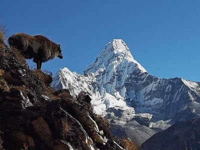
Wildlife sightings may include Himalayan birds, mountain goats, and occasionally blue sheep in the higher regions.
Essential Tips for Trekkers
- Carry warm layered clothing suitable for sub-zero temperatures.
- Good trekking shoes with proper grip are essential.
- Stay hydrated throughout the trek.
- Acclimatize properly to avoid altitude sickness.
- Always trek with a guide or experienced trekking group.
- Carry rain protection and trekking poles for stability.