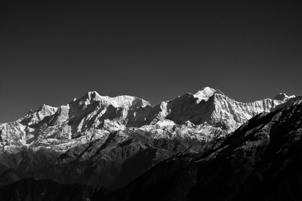
The Garhwal mountains have fascinated humans from time immemorial. The peaks of Nanda Devi, Chaukhambha, Trishul, and Kedar dome are some of the mountains that adorn the Garhwal mountain range. Mighty peaks touching the height of 8000 m give rise to the Alaknanda and Bhagirathi rivers that feed the holy Ganga.
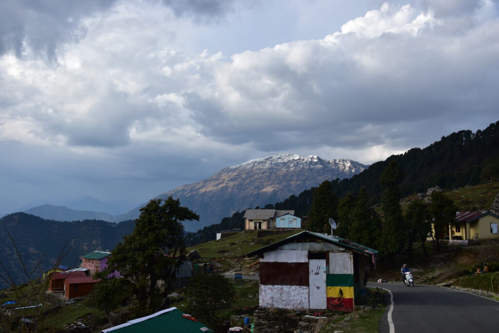
Chopta is a small village in the Rudraprayag district of Uttarakhand. It comes under the Kedar wildlife sanctuary that houses beautiful trees, birds and meadows. It’s a treat for nature lovers to feel the majestic bliss of nature.
There are 2-3 suggested treks for the Chandrashila trek. Kund and Sari camp both act as the starting point. It depends on you which one you want to follow.
How to Reach Haridwar
By road:
Rishikesh is well connected by road to cities like Delhi. Take a bus from Delhi isbt kashmiri gate and in a 6 hour drive you will be in Haridwar. From Haridwar there are options of taxis and buses to reach Sari village.
By air:
Nearest airport to Rishikesh is Jolly grant airport at a distance of 21 km. It is well connected to rishikesh with motorable roads. Daily flights run to Jolly grant from delhi.
By rail:
Rishikesh is well connected to other parts of India. A New railway station in Rishikesh in the construction phase.
The Chandrashilla trek itinerary

Image source: lifeisnotcliche
Day 1
Haridwar to Sari Village
From Haridwar, there are options for taxis and buses to reach Sari village. At 6600 feet, it’s a perfect village to start the trek. The Village offers visitors the options of campsites, homestays, and guest houses to rest.

Image source: lifeisnotcliche
Day 2
Sari to Deotorial
The next day, resume your journey from Sari village. After traversing for 30 minutes, you will reach the first view point. The scenic valley and maple forest will rejuvenate your mind and fill your soul. After this, moving further, the forest house named Hawa ghar, constructed by the forest department, will appear. Resume your trek and travel for 40 minutes more, and here the beautiful lake “Deoriatal” will appear in front of your eyes. Deoria Tal is located 3 km from Sari village at an elevation of 13000 ft. It looks beautiful in the background of Chaukhamba peak. The reflections of the mountains in the lake are just awesome to watch.
Day 3
Deotorial to Chopta
The most exciting and arduous part of the journey begins, a 14-km journey from Deotorial to Chopta that takes close to 9 hours. You will pass by the Rohini bugyal section that is surrounded by a beautiful section of rhododendron and maple forest. Before the Rohini bugyal, there are 2-3 waterfall spots named Bhrujgali and Akash Kamini Waterfall where you can fill your water bottle and take a rest. If you are lucky, you will glimpse a royal pika and a himalayan monal, the state bird of Uttarakhandh.

Day 4
Chopta to Chandrashilla peak.
Well, the exciting part is always kept at the end. Chopta, a beautiful hill station located at a height of 8000 feet, is the perfect place for travellers. The weather remains cold throughout the year, so it’s good to carry winter clothes. At Chopta, electricity is an issue. So shopkeepers and homestays use solar power to charge the devices, it does take time on solar.
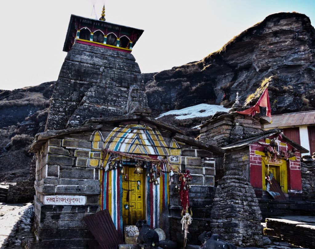
The circuit hosts the Tungnath temple, the highest Shiva temple at a height of 12000 feet. The trek between Chopta and Tungnath temple is 3 km on well-defined concrete.
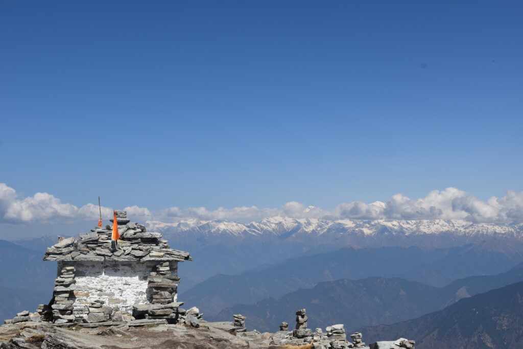
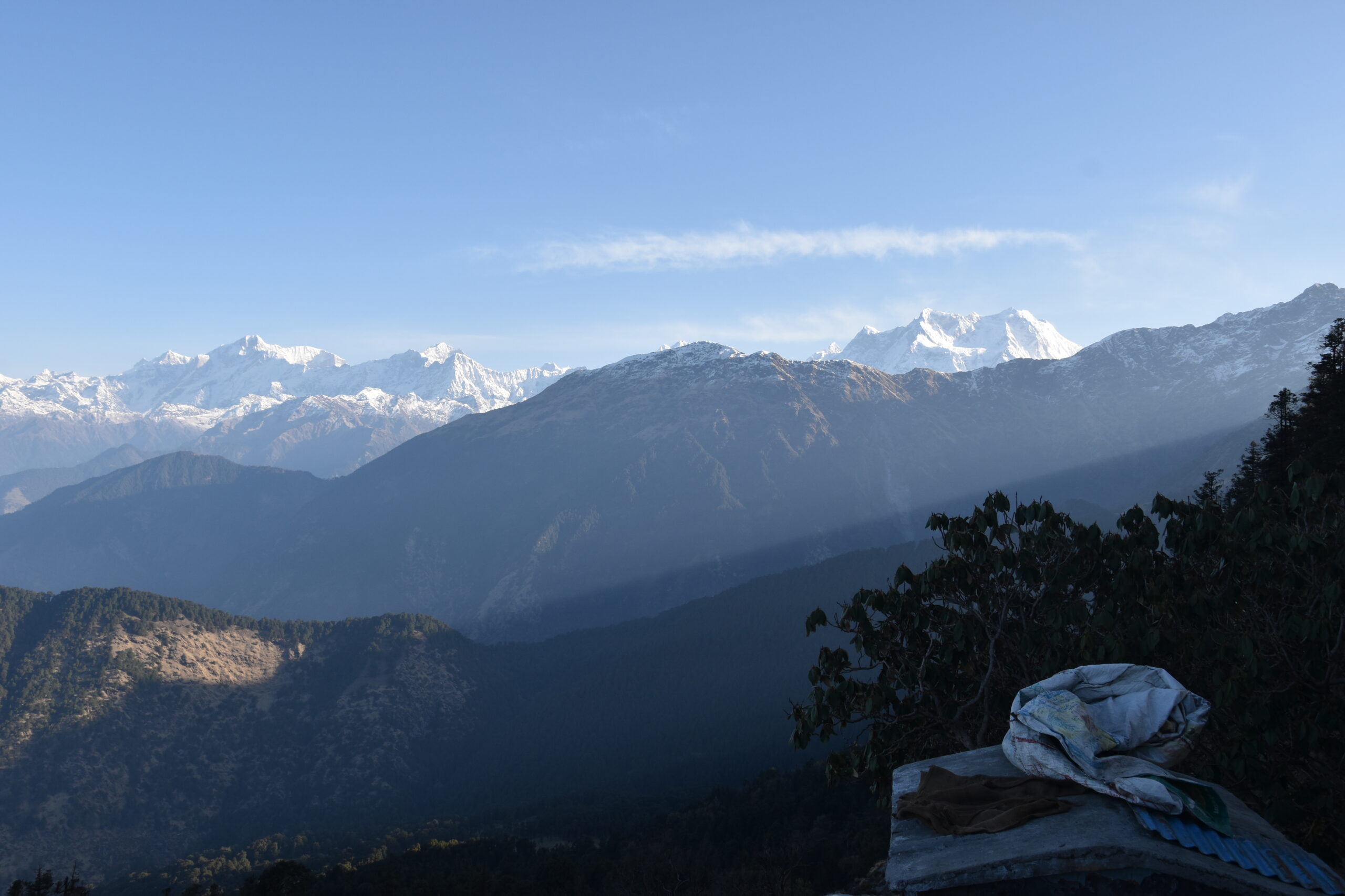
After the temple complex, the Chandrashila peak is 1.5 km far on an ascent of 600 feet that will take 1 hour. At the peak the 360 view of Nanda Devi, Trishul, Nandaghunti, Kamet, Dunagiri, Chaukhamba, Kedar dome, Thalaysagar and Gangotri ranges will leave you spellbound, especially sunset and sunrise.
In the end descending to get back to chopta, will not take more than 2 hours.You can opt for the option of campaigning by paying nominal fees at the forest gate.
