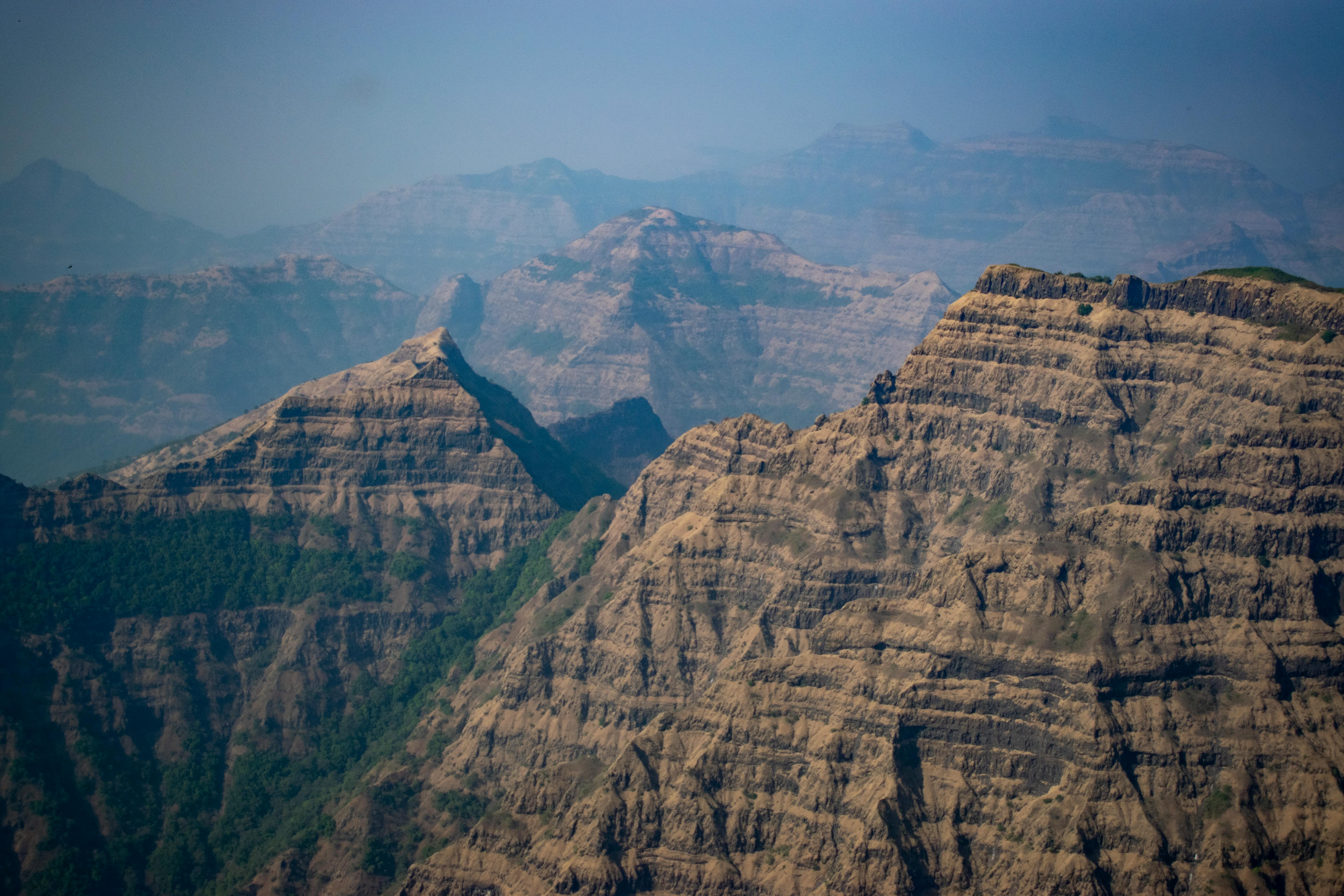
Image source: Subhash Jangam
About Makrandgad Fort
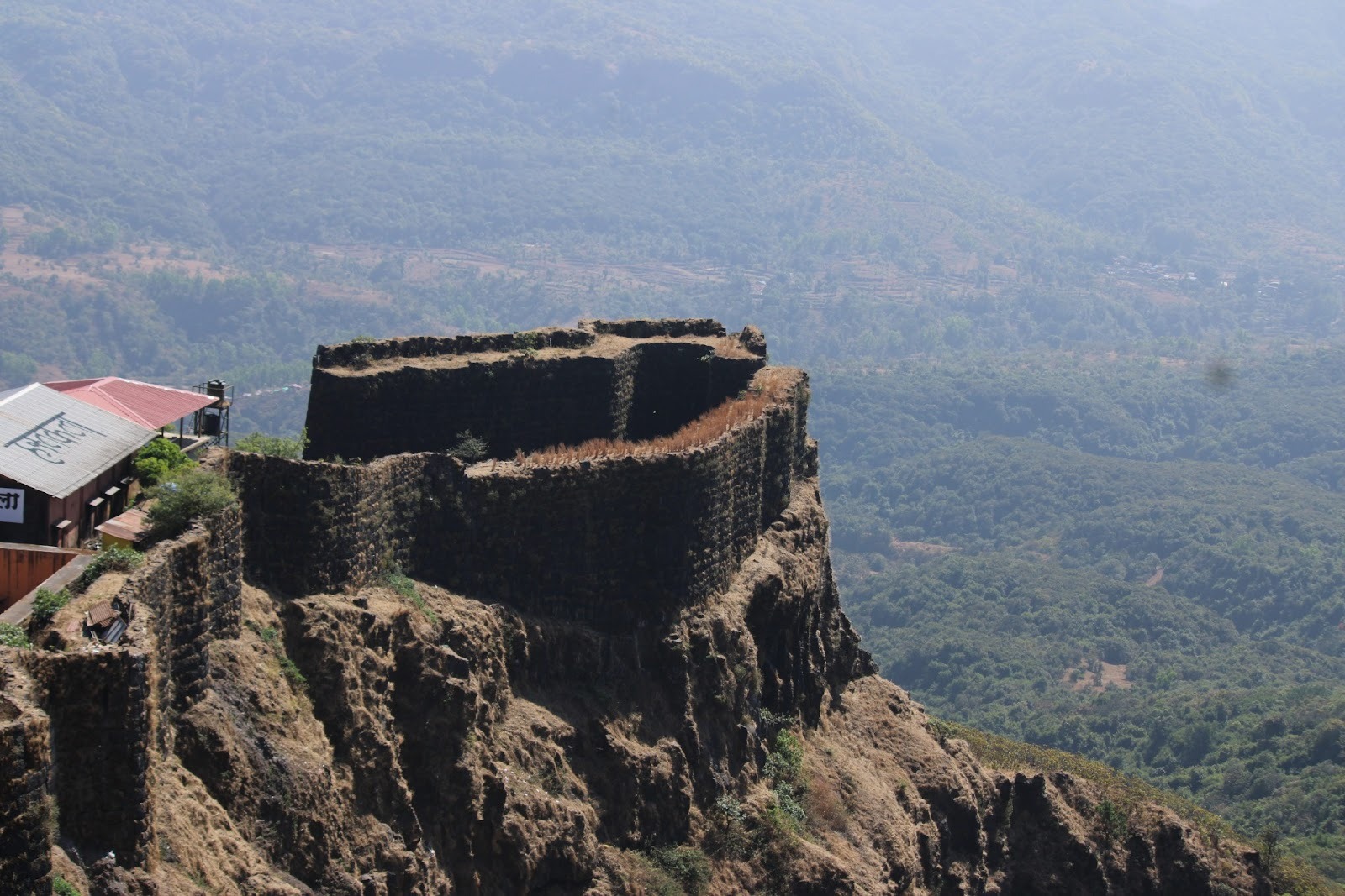
One of the lesser-explored forts, Makrandgad Fort, is nestled deep within the Javali Forest at an elevation of 4,054 ft in Maharashtra’s Satara district. The fort’s unique topography features two flattened humps with a ridge and offers visitors a serene escape into nature. One of the notable geographical aspects of the fort is its proximity to Madhu Peak, which acts as a natural boundary between the Satara, Ratnagiri, and Raigad districts.
Historical Significance
The fort was built by Chhatrapati Shivaji Maharaj in 1656 and played a crucial role as a link between Pratapgad and Vatsola Forts. It served as a watchtower to monitor enemy movements in the dense forest terrain.
In 1818, the fort fell under British rule during their conquest of the Maratha Empire.
Post-Indian Independence, it came under the jurisdiction of the Government of India, and today, it remains a historical landmark awaiting exploration.
Trekking to Makrandgad Fort
Makrandgad Fort is an ideal one-day trek perfect for beginners and nature lovers.
Starting Point: Ghonsapur Village (Base village)
Distance from Mahabaleshwar: 37 km
Trek Duration: Approximately 3-4 hours
Difficulty Level: Easy to Moderate
Best Time to Visit: October to February (Pleasant weather and clear trails)
The trek passes through lush green forests, misty valleys, and serene landscapes, making it an enjoyable journey. Trekkers can also visit Madhushikhar and Makrandgad peaks, which offer breathtaking panoramic views of the surrounding districts.
How to Reach Makrandgad Fort
By Air: The nearest airport is Pune International Airport (around 150 km away).
By Train: The closest railway station is Satara, about 70 km from Ghonsapur.
By Road:
From Mahabaleshwar (37 km), drive to Ghonsapur and start the trek.
From Pune (150 km)—via NH48 towards Satara, then towards Mahabaleshwar.
From Mumbai (230) via the Mumbai-Pune Motorway towards Mahabaleshwar.
Nearby Attractions of Makrandgad Fort
Makrandgad Fort is located in the scenic Sahyadri ranges near Mahabaleshwar and offers easy access to several natural and historical attractions in the region.
1. Pratapgad Fort
One of Maharashtra’s most famous hill forts, Pratapgad is closely associated with Chhatrapati Shivaji Maharaj and the historic battle against Afzal Khan. The fort offers magnificent views of the surrounding valleys and forests.
2. Mahabaleshwar
A popular hill station known for its pleasant climate, strawberry farms, lush greenery, and viewpoints such as Arthur’s Seat, Wilson Point, and Elephant’s Head Point.
3. Tapola
Often referred to as the “Mini Kashmir of Maharashtra,” Tapola is famous for its picturesque setting along the Shivsagar Lake. Visitors can enjoy boating, kayaking, and camping activities.
4. Koyna Wildlife Sanctuary
Part of the Sahyadri Tiger Reserve, this protected forest area is home to diverse wildlife, dense evergreen forests, and numerous trekking trails.
5. Vasota Fort
A historic forest fort accessible through a boat ride across the Koyna backwaters followed by a jungle trek. It is one of the most adventurous fort treks in Maharashtra.
6. Shivsagar Lake
The vast reservoir created by the Koyna Dam offers breathtaking scenery and opportunities for boating and photography.
7. Koyna Dam
One of India’s largest hydroelectric projects and a major engineering landmark surrounded by beautiful natural landscapes.
8. Lingmala Waterfall
A spectacular waterfall near Mahabaleshwar, especially impressive during and after the monsoon season.
9. Thoseghar Waterfalls
Known for its series of cascading waterfalls and lush surroundings, Thoseghar is a favorite destination for nature lovers.
10. Kate’s Point
A popular viewpoint near Mahabaleshwar offering panoramic views of the Krishna Valley and surrounding mountain ranges.
Maps
FAQs
1. Where is Makrandgad Fort located?
Makrandgad Fort is situated in the Satara district of Maharashtra, near Mahabaleshwar and the village of Hatlot, within the Sahyadri mountain range.
2. What is the height of Makrandgad Fort?
The fort stands at an elevation of approximately 1,236 meters (4,055 feet) above sea level.
3. Why is Makrandgad Fort famous?
Makrandgad is known for its scenic trekking route, dense forests, panoramic views of the Sahyadri ranges, and historical significance during the Maratha era.
4. How difficult is the Makrandgad trek?
The trek is generally considered easy to moderate, making it suitable for beginners as well as experienced trekkers.
5. What is the best time to visit Makrandgad Fort?
The best time to visit is between October and February when the weather is cool and visibility is excellent. The monsoon season also offers lush greenery but can make trails slippery.
6. How long does it take to reach the fort?
The trek from the base village usually takes around 2 to 3 hours, depending on the route and pace of the trekker.
7. Are there any temples on the fort?
Yes, Makrandgad Fort is home to the ancient Mallikarjun Temple, which attracts both trekkers and devotees.
8. Is camping allowed at Makrandgad Fort?
Camping may be possible in designated areas near the fort or base villages, but visitors should check local regulations and obtain permission if required.
9. How can I reach Makrandgad Fort?
The nearest major town is Mahabaleshwar. From there, visitors can reach the base villages by road and begin the trek to the fort.
10. Is a guide necessary for the trek?
While experienced trekkers can navigate the route, hiring a local guide is recommended, especially during the monsoon season or for first-time visitors.