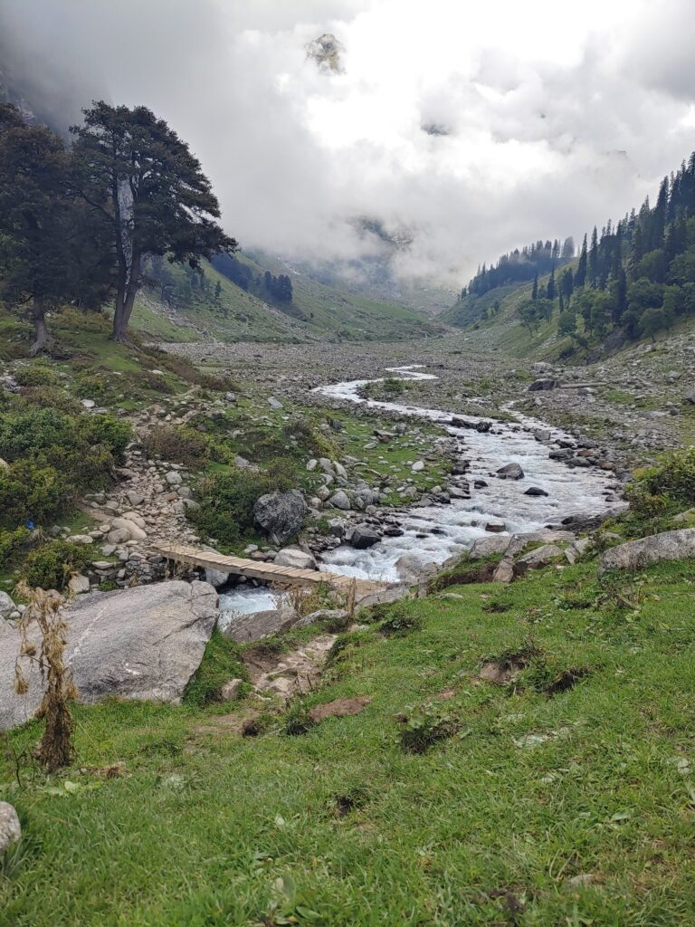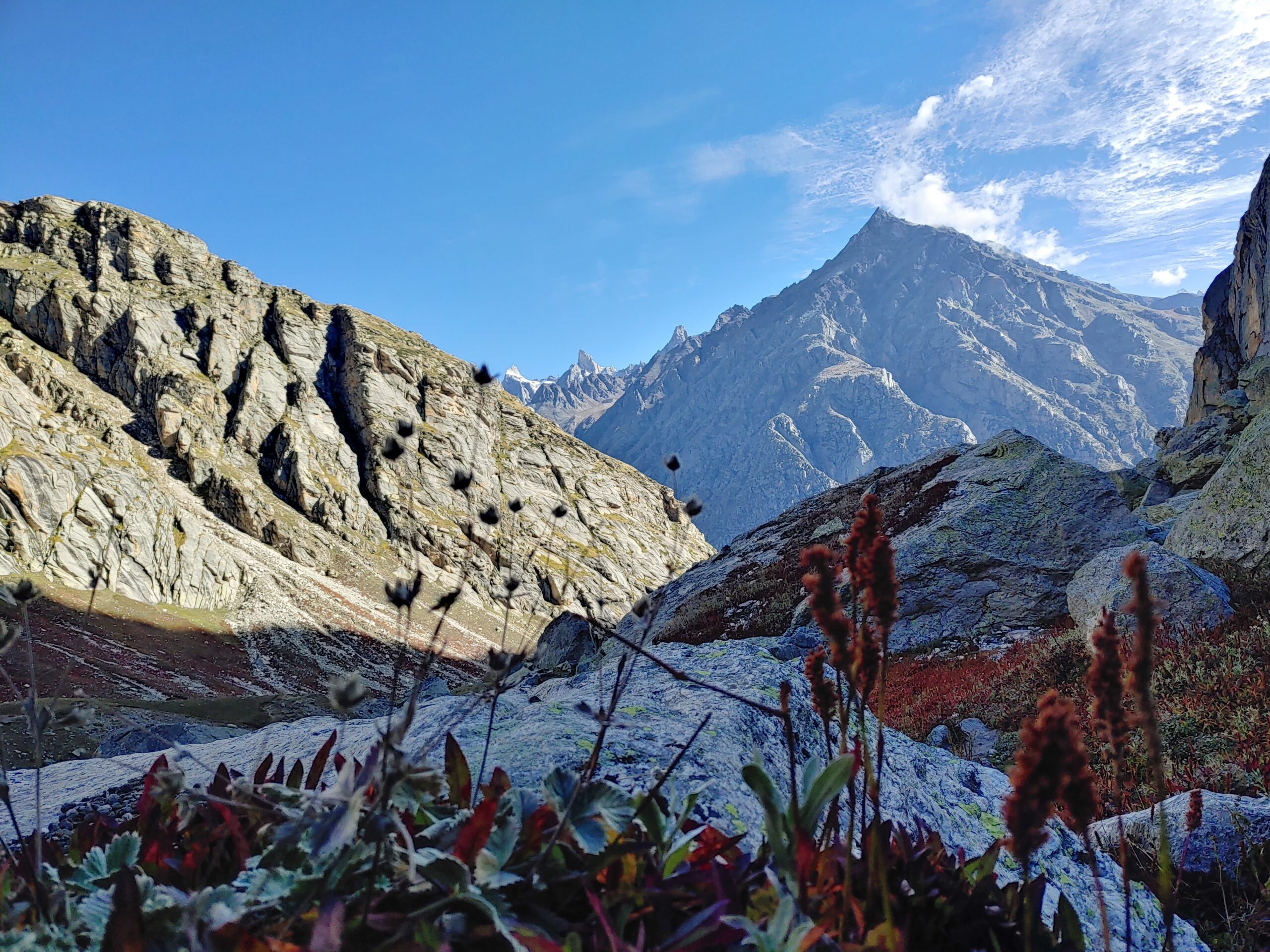

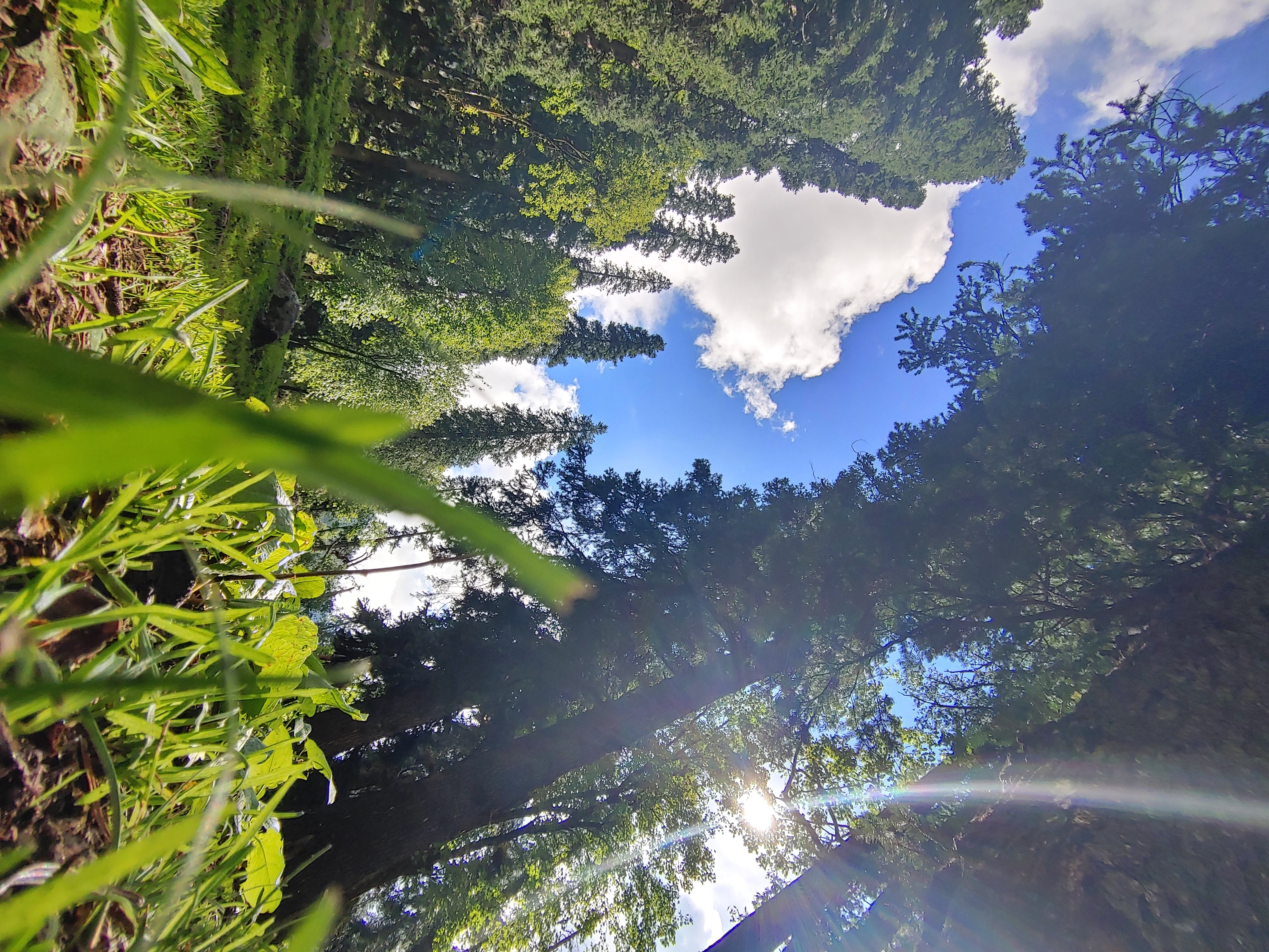
Is there any trek that has fascinated me the most from its beginning? I would say Hampta Pass. The beautiful trek in the Kullu district of Himachal Pradesh was covered in August. I would say it is one of the best ones you can trek near Manali.
It’s a beautiful pass that covers the lush green valley of Kullu and the barren valley of Lahaul. Yes, you heard right, the pass separates the two landscapes and acts as a barrier for the clouds coming from the Kullu side. Clouds couldn’t escape the pass and it rained heavily on the Kullu side. Hampta Valley lies on the Kullu side, and the source of Hampta Valley sponges all the rain in the form of tall trees, running waterfalls, and small streams. In the summer, shepherds travel from Lahaul to graze the Kullu, and the high-protein grass feeds the hungry livestock for months.
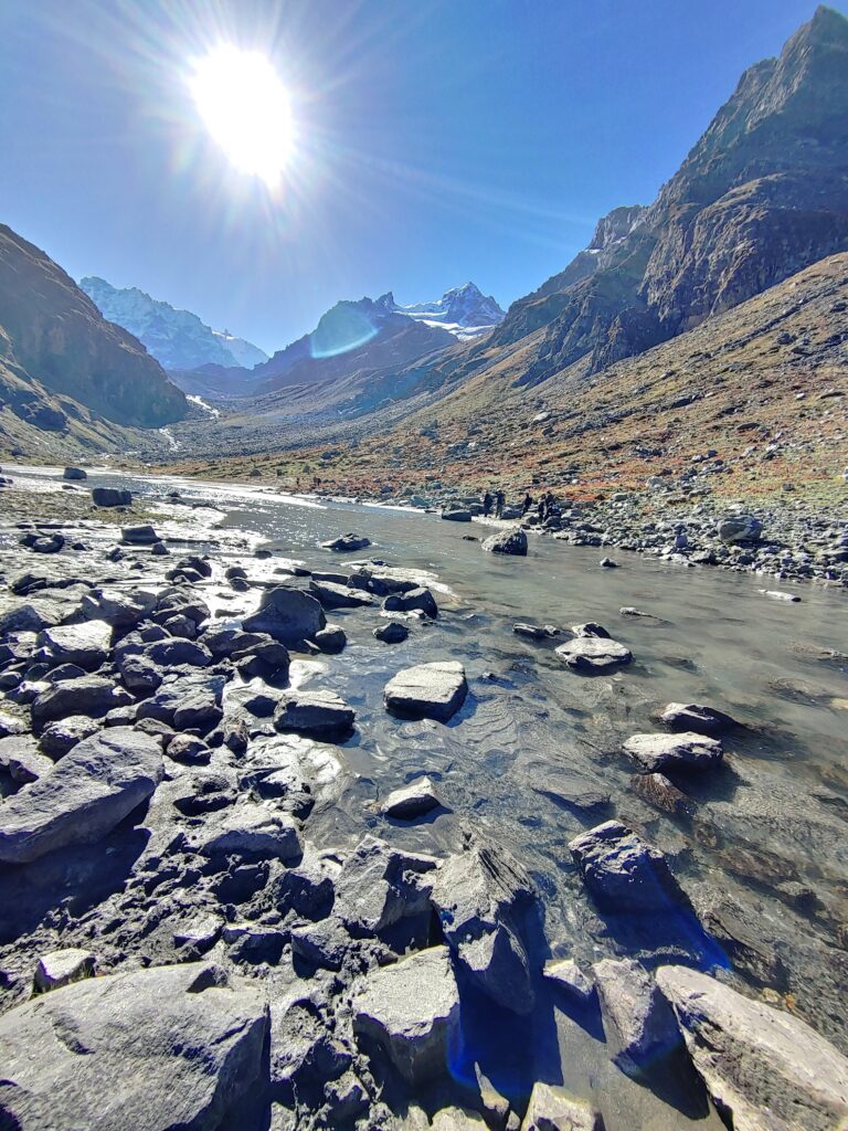
At a height of 14000 feet, Hampta Pass connects the Kullu and Lahaul districts of Himachal Pradesh. It’s situated in the Pir Panjal Range of the Himalayas.
How to reach
Manali is the nearest place that you can reach by road. Many state roadways and private buses operate from Delhi and Chandigarh to Manali. But, if you have your own vehicle, you can directly reach Jobri, the base camp of the trek. By train, the nearest railway station is Pathankot, and by air, the nearest is Bhuntar airport.
Best time to visit
Hampta Pass is best visited between June and July when the chance of snow is high. The snow of winter is melting and the path is still covered with snow. People who love snow love to travel during these months because the chances of snow are very high. But if you are one of those who don’t want to experience cold weather and love the experience of green flora and fauna, you should plan the journey from July to October. When the valley is in full mood, when all the snow melts, the valley is covered with lush green flowers and tall trees all around. Small streams flow from all sides of the mountain. After October, the pass gets covered with snow and remains closed till June of the next year.
Brief itinerary
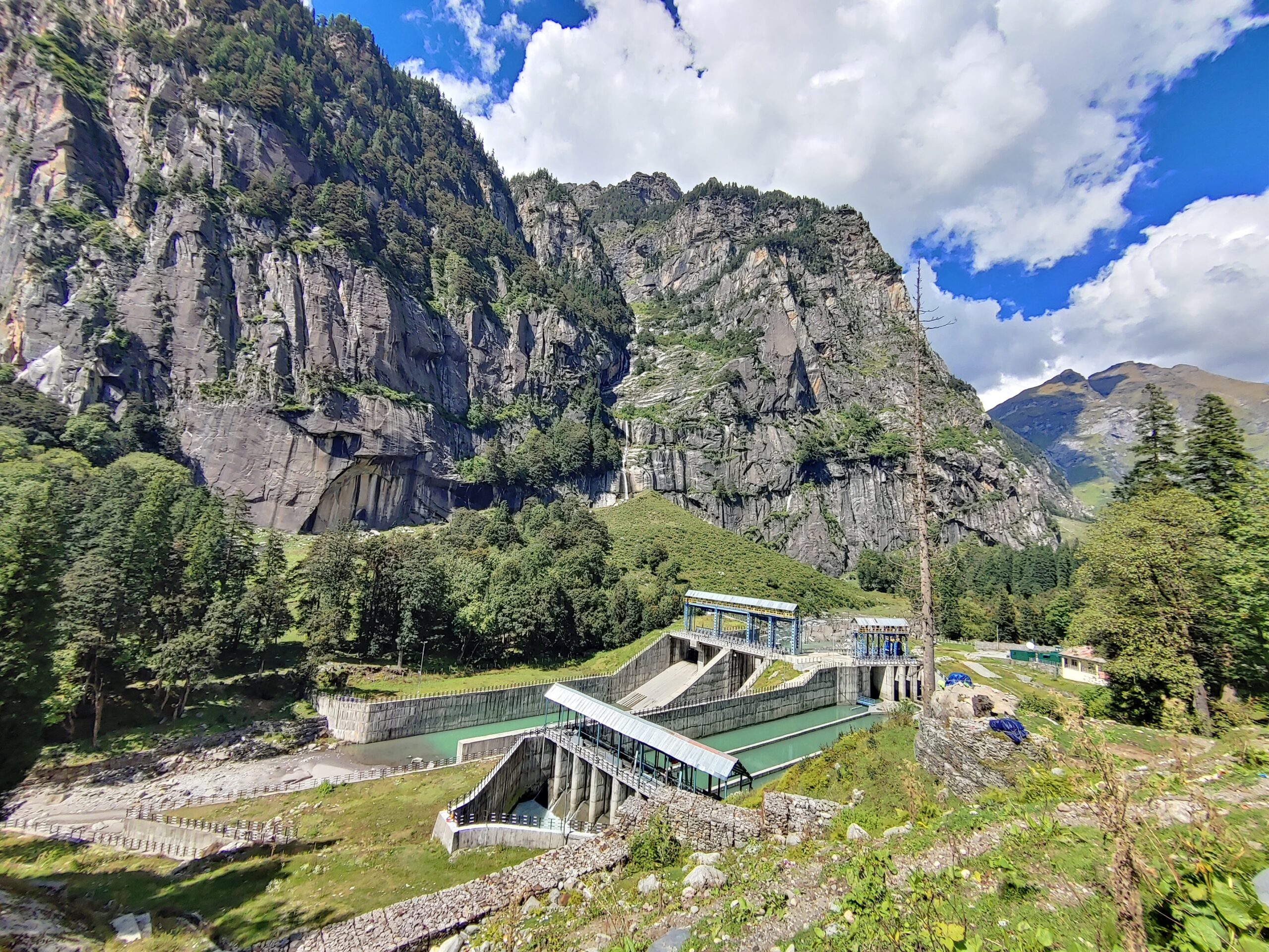

Day 1: Drive from Manali to Jobri, followed by a trek to Chikka.
We started driving from Manali to Jobri, which is 19 km away. Jobri is located at a higher height than Manali, and the road is congested and rises suddenly. After reaching Jobri, a small dam known as the Allain Duhangan Hydropower Project with 192 MW suddenly appears at the end of the road. The trek starts from here. After Jobra, you will not find any eatable shops, so it’s better to carry all the things from here.
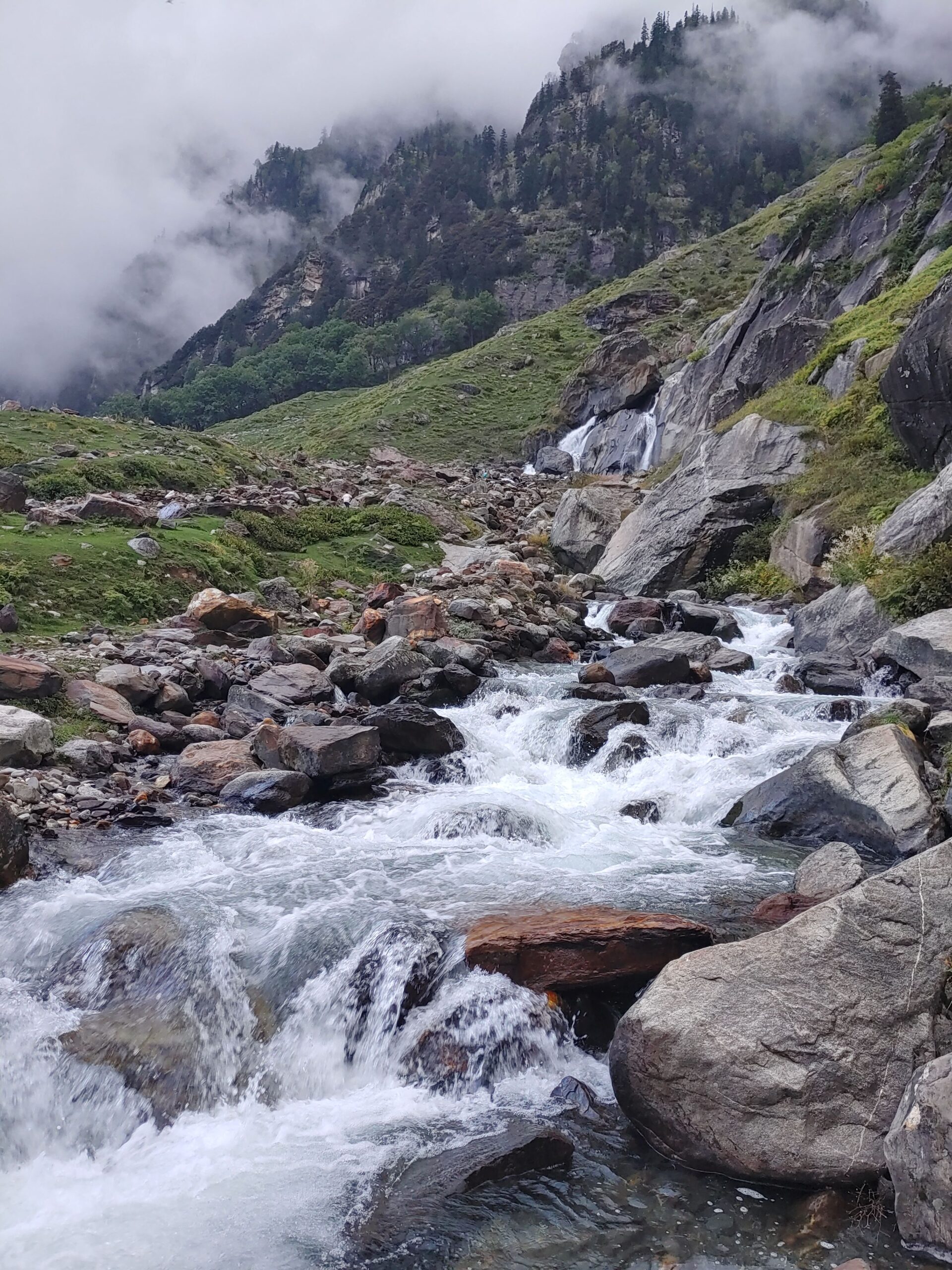

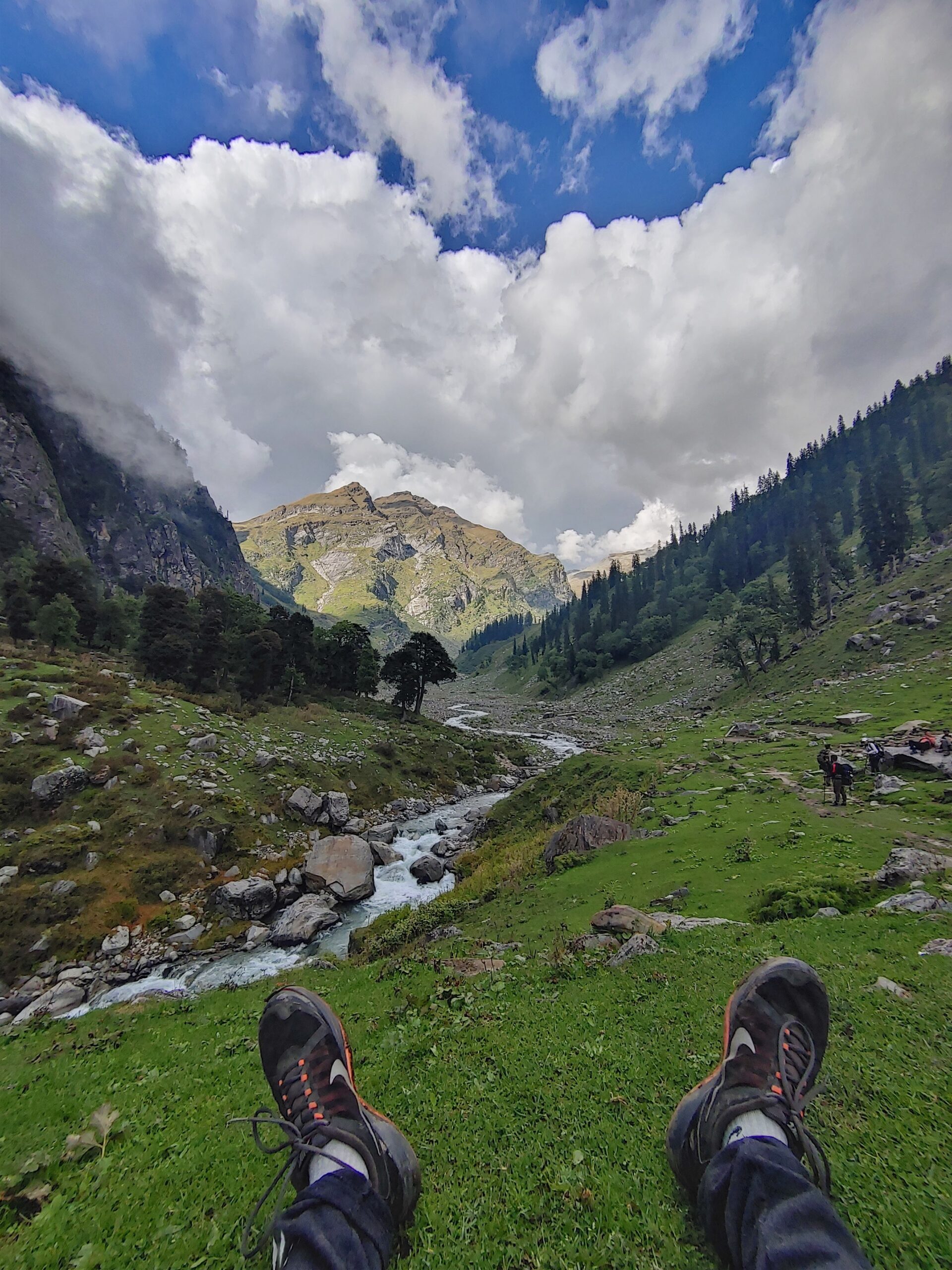
The trek to Chikka campsite from Jobra is only 2 km through pine, birch, and maple trees. Running alongside the trek makes the journey more beautiful. The valley has just started to unfold its colors. As we close the trek to the Chikka campsite, we come across a beautiful waterfall known as Rani Nallah. It is a beautiful site where we all chill and relax for the evening. The intensity of water falling from the top into the main Hampta Nala was lovely to watch.
DAY 2: From Chikka to Balu ka ghera
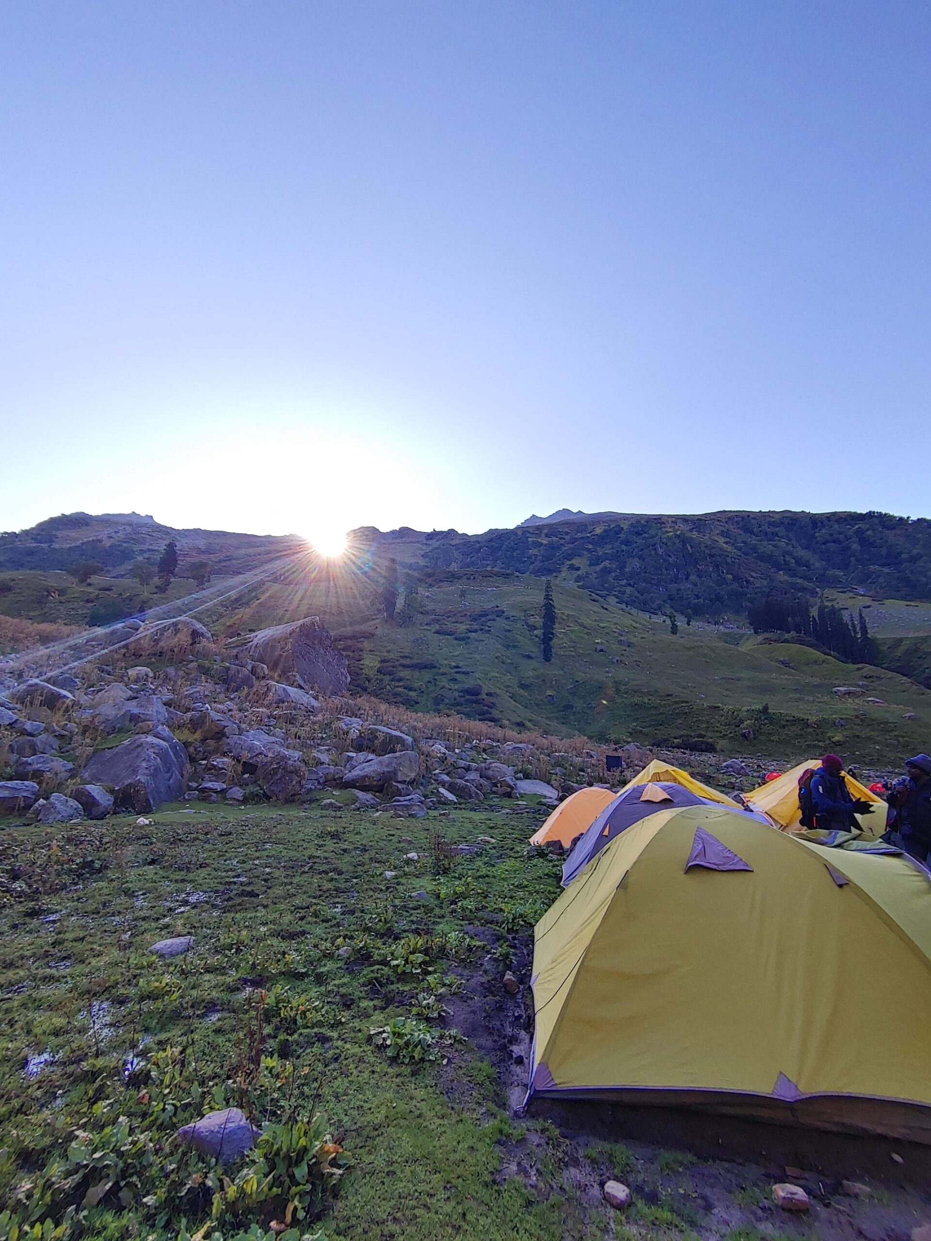
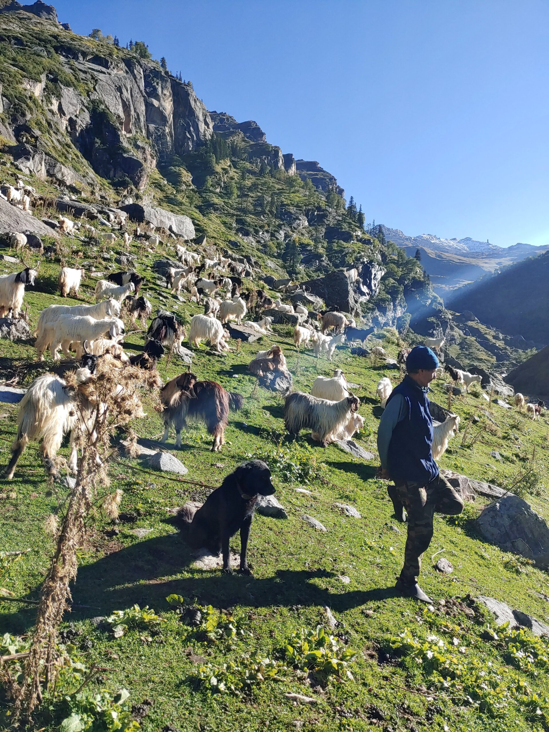
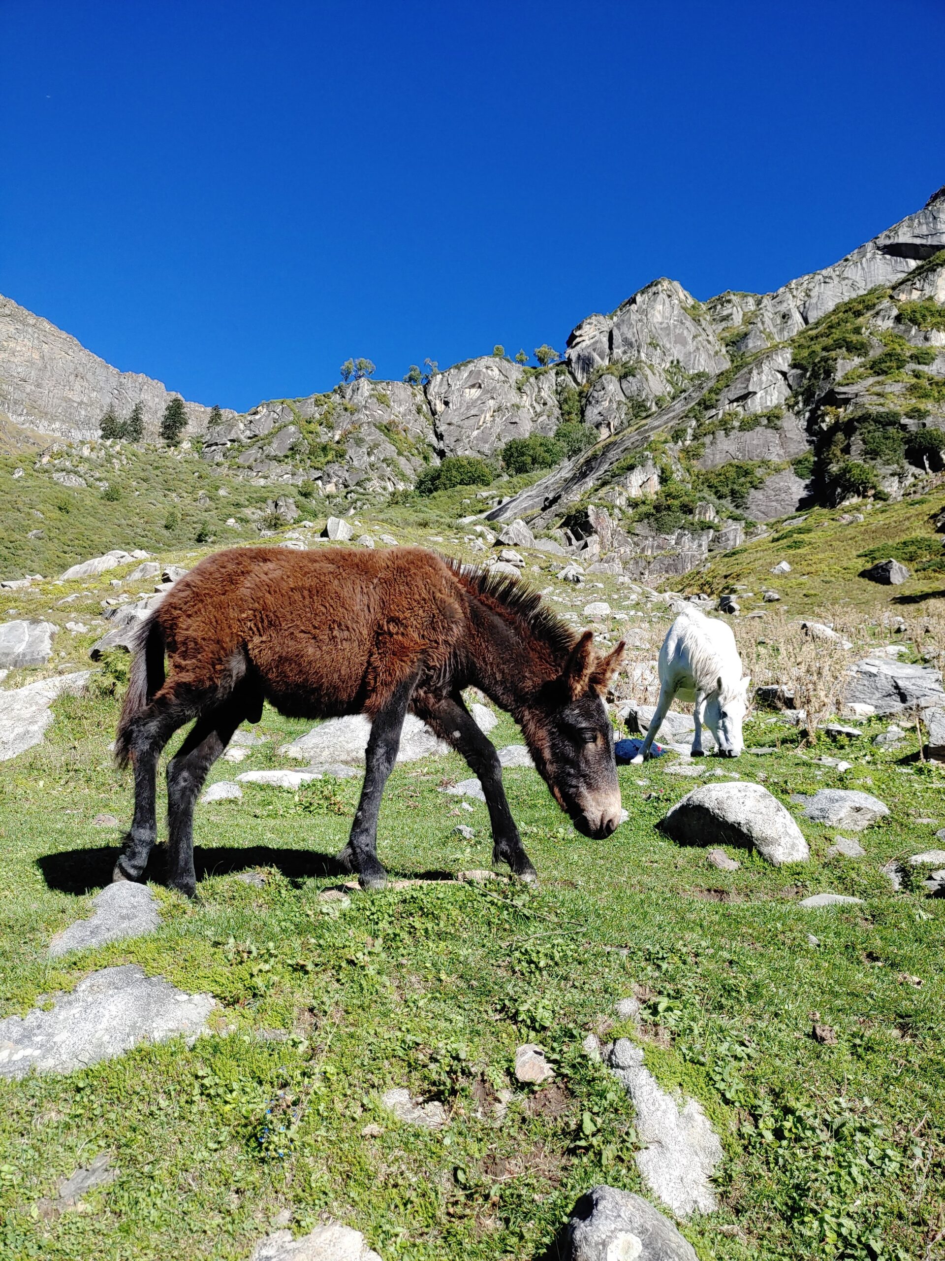
The next morning, we started early at 6 a.m., with clear instructions from the trek leaders. Yes, it’s a trekking group where all have come from different parts of India. Some are from Bengal, Tamil Nadu, and Gujarat, and I am from Delhi. You can say it is a complete circle in India. So, after doing reps of an exercise, we continue our directions to the next campsite, named Balu ka Ghera.
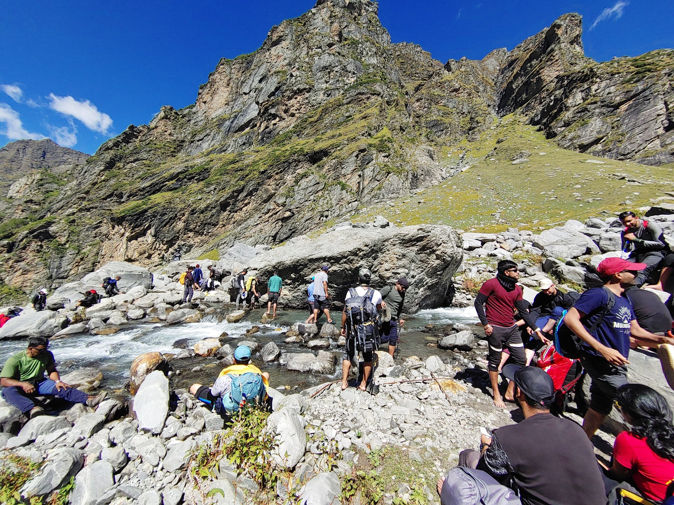
The fun part of the trek comes when you reach Juara ka Nala, the water crossing. Chilled glacier water pierces your body and makes it numb. As the sun rises more, the volume of the water increases in the crossing because the more the glacier melts, the better it’s to cross early. We made a human chain and started crossing. One’s feet are in water and taking steps, then you feel how easy it looks in the travel video and how it feels now in reality. We have already removed our shoes and tightened the bag. After crossing, the first thing we do is to keep our feet on the rock that has become hot from the sun’s rays. I felt so comfortable and enlightened when I touched the rock. In the cold landscape, you know the value of heat and how precious it is for survival.

After crossing, we caught a glimpse of the mountain Indrasan, which, at 6221m in the Pir Panjal range, is one of the most difficult to scale. In mythological stories, it is believed that whenever God Indra arrives on the earth, he settles here.
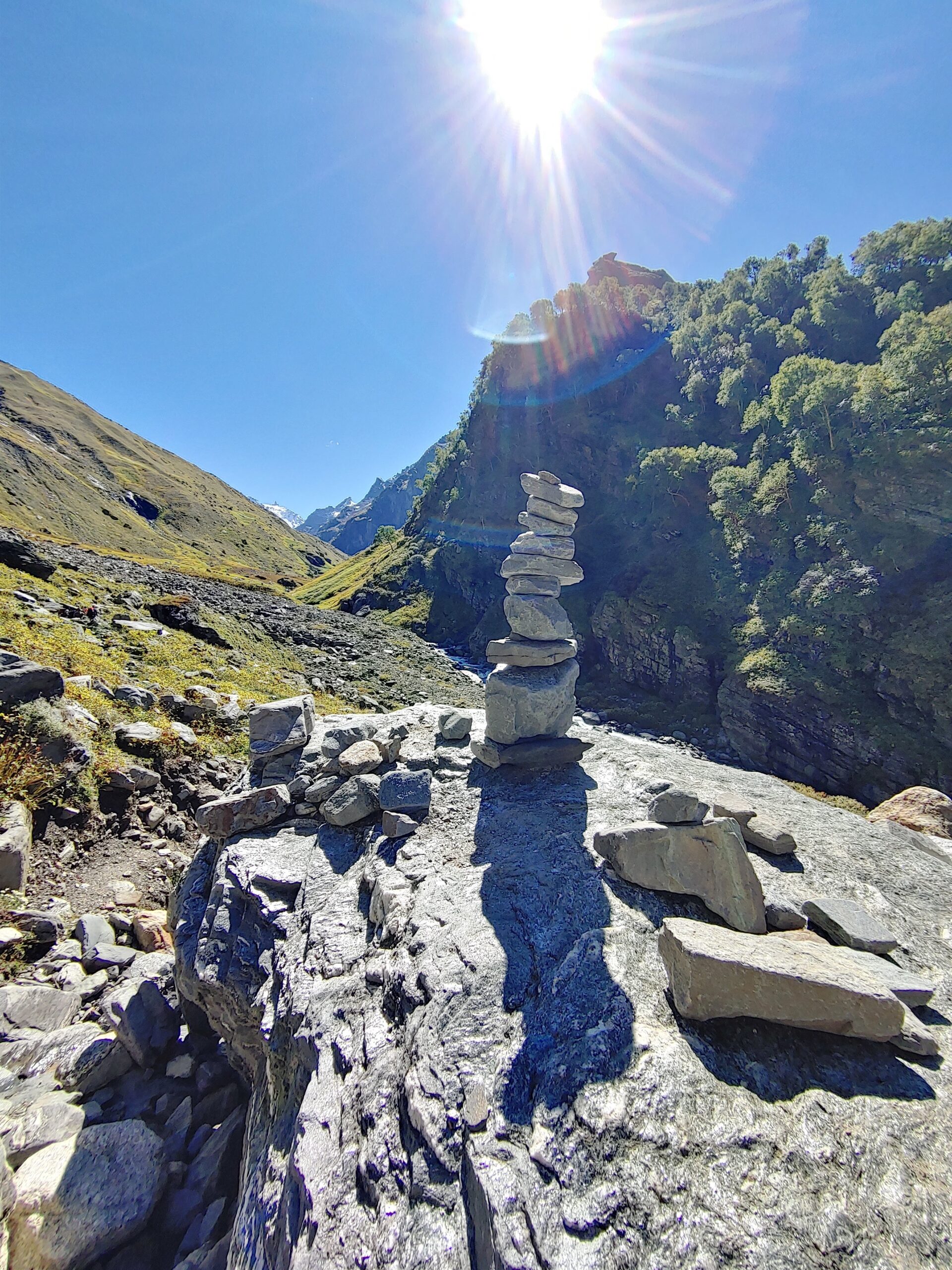

After this, the trek starts ascending in height. Trees and vegetation disappear, and boulders and stones take their place. After trekking for one hour more, we reached the campsite at 2:00 pm. Not bad. We covered this phase of the trek in 7 hours. Especially when you’re travelling in a group. A campsite, Balu ka Ghera, is a beautiful place covered by mountains on three sides. We have enough time to look around and take cognizance of our surroundings.
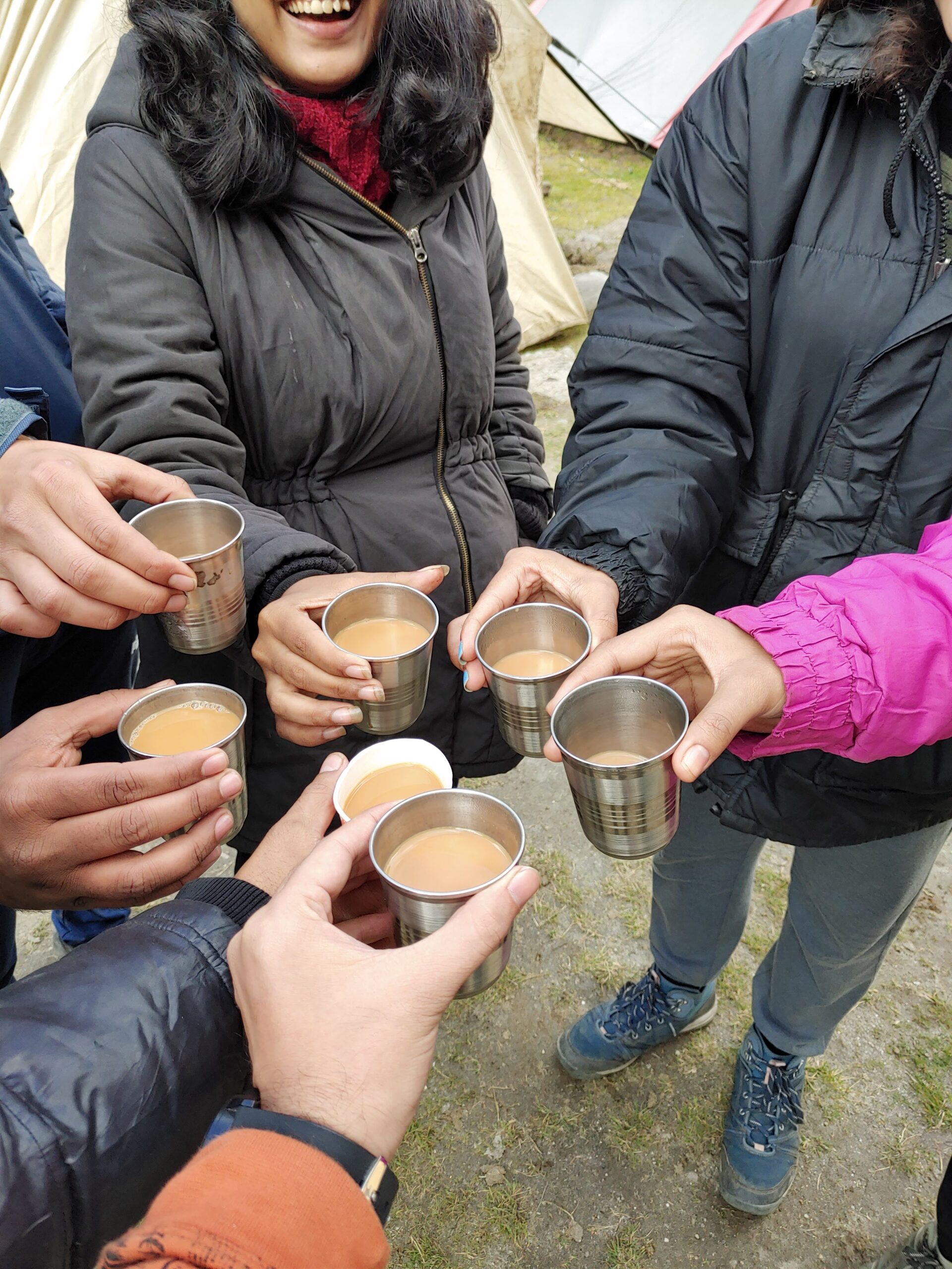

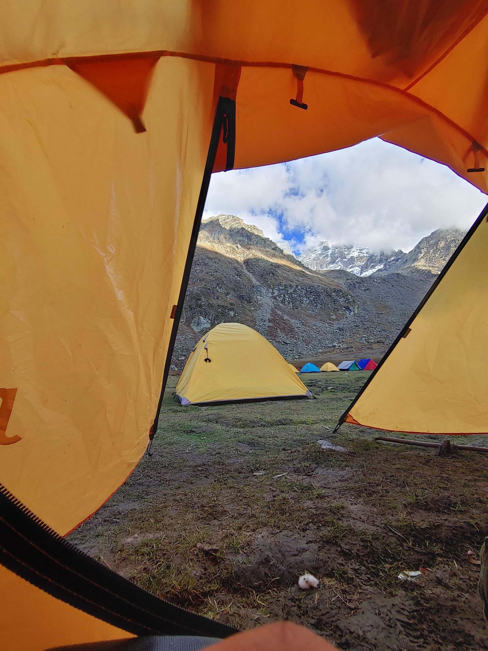
The mountains were covered with snow, and a chilling wind was blowing across the valley. We drank chai and hot drinks to keep ourselves warm. All around us were campsites filled with tents, and as the sun just started to set, we all got into our tents and suddenly the temperature fell to close to zero. Mountain weather you can’t predict; it changes very quickly.
Day 3
Crossing the Hampta pass from Balu ka Ghera to Shera Ghoru.
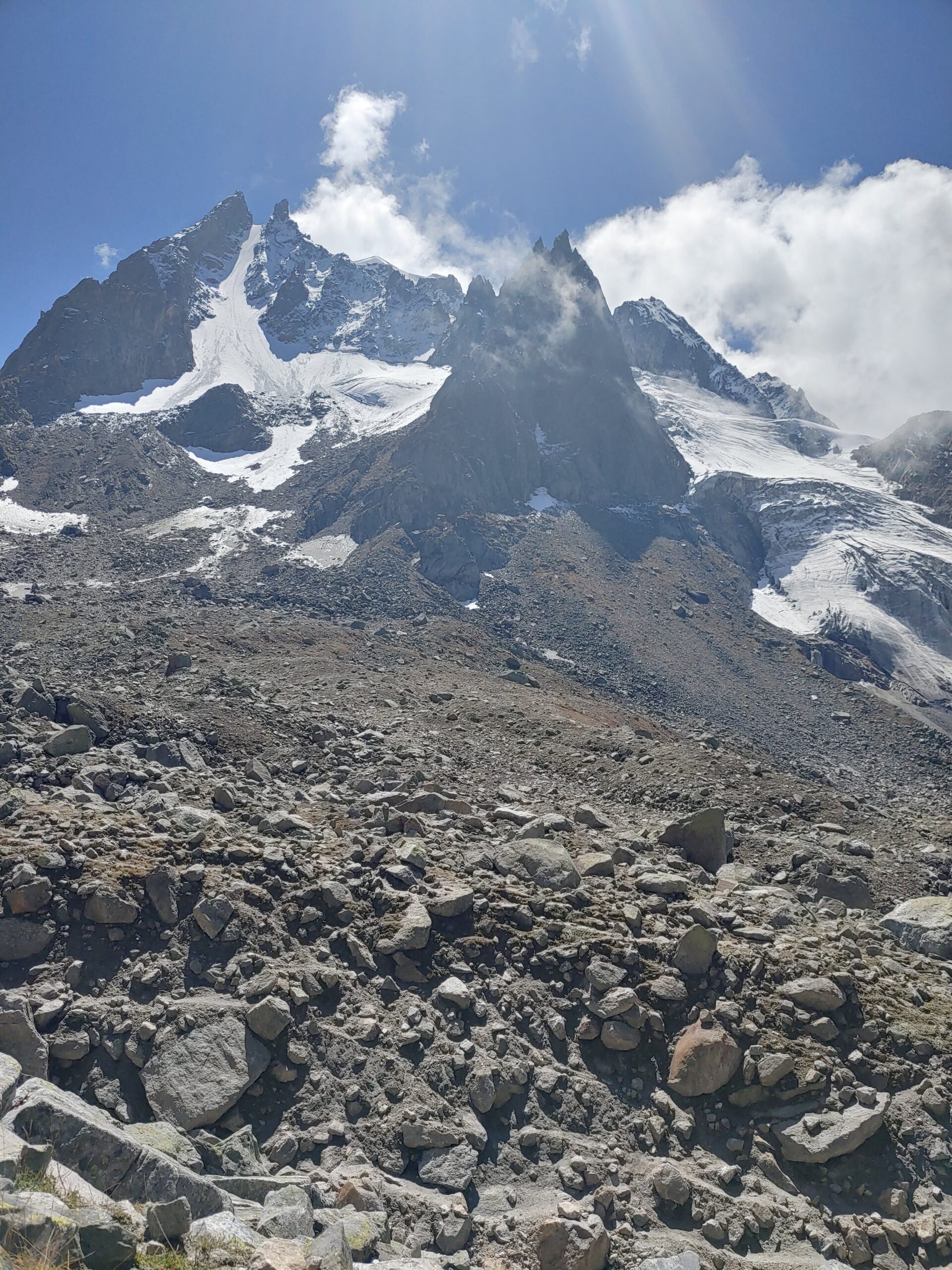
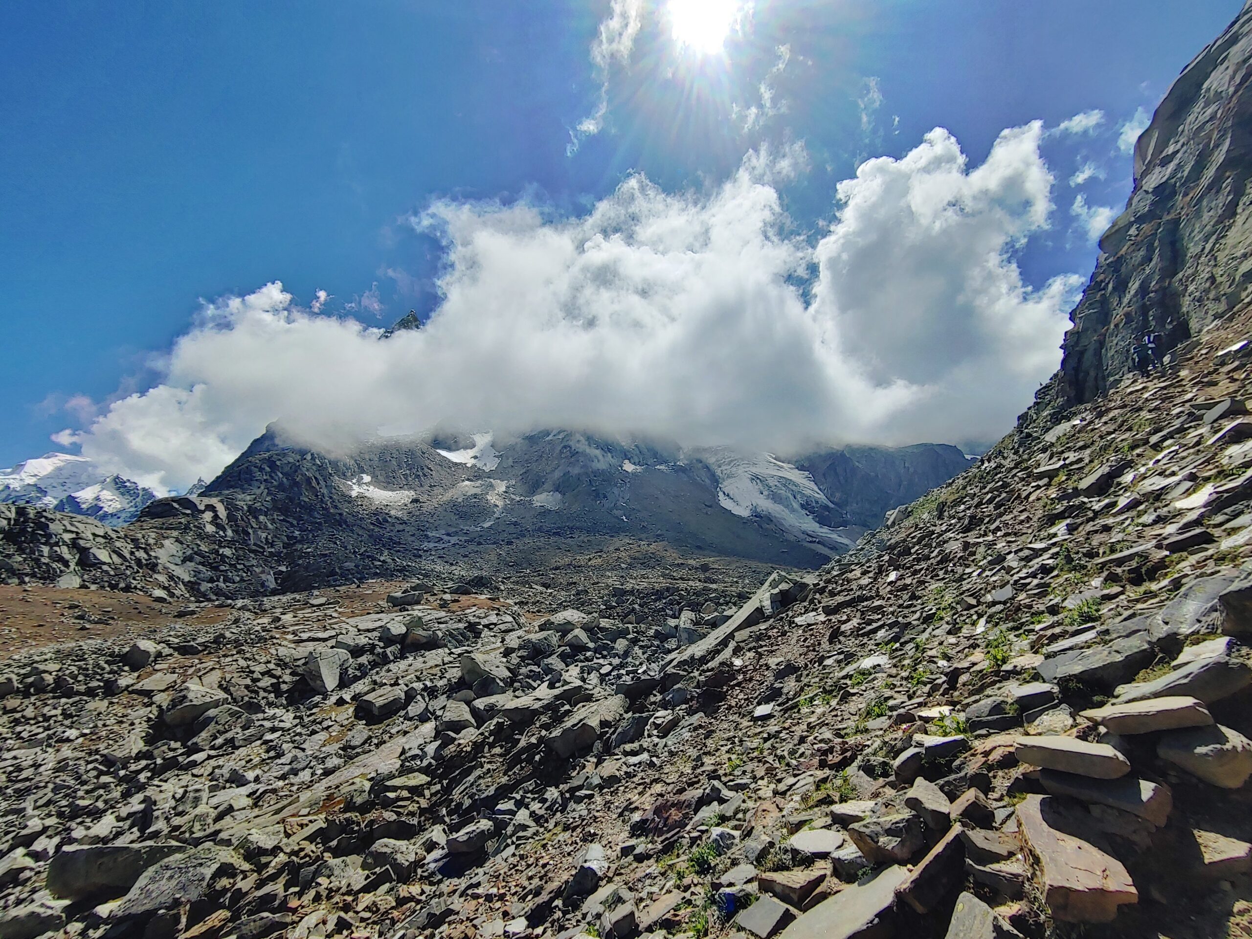
The first rule of hiking is to start early in the morning, so we started at 7:00 am. We crossed the source of Hampta Nala and moved to the right side of the valley to start ascending toward the Hampta pass. When this cold, chill wind comes straight from the mountains, the trek takes height, and you fall on your face. Big boulders covering the trail make the trek more difficult and difficult to navigate. I got a sunburn on my face as a result of the sun rays reflecting off the snow.
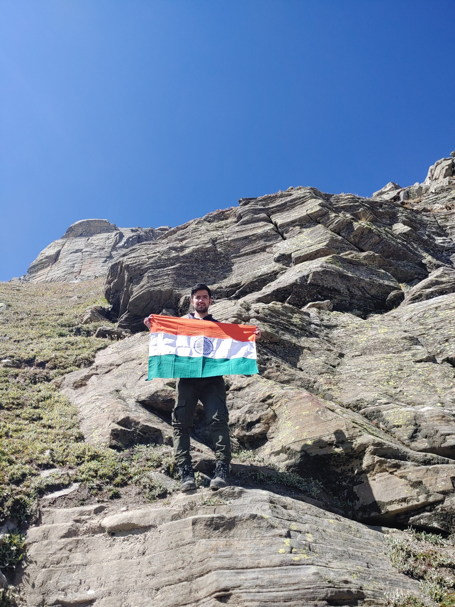
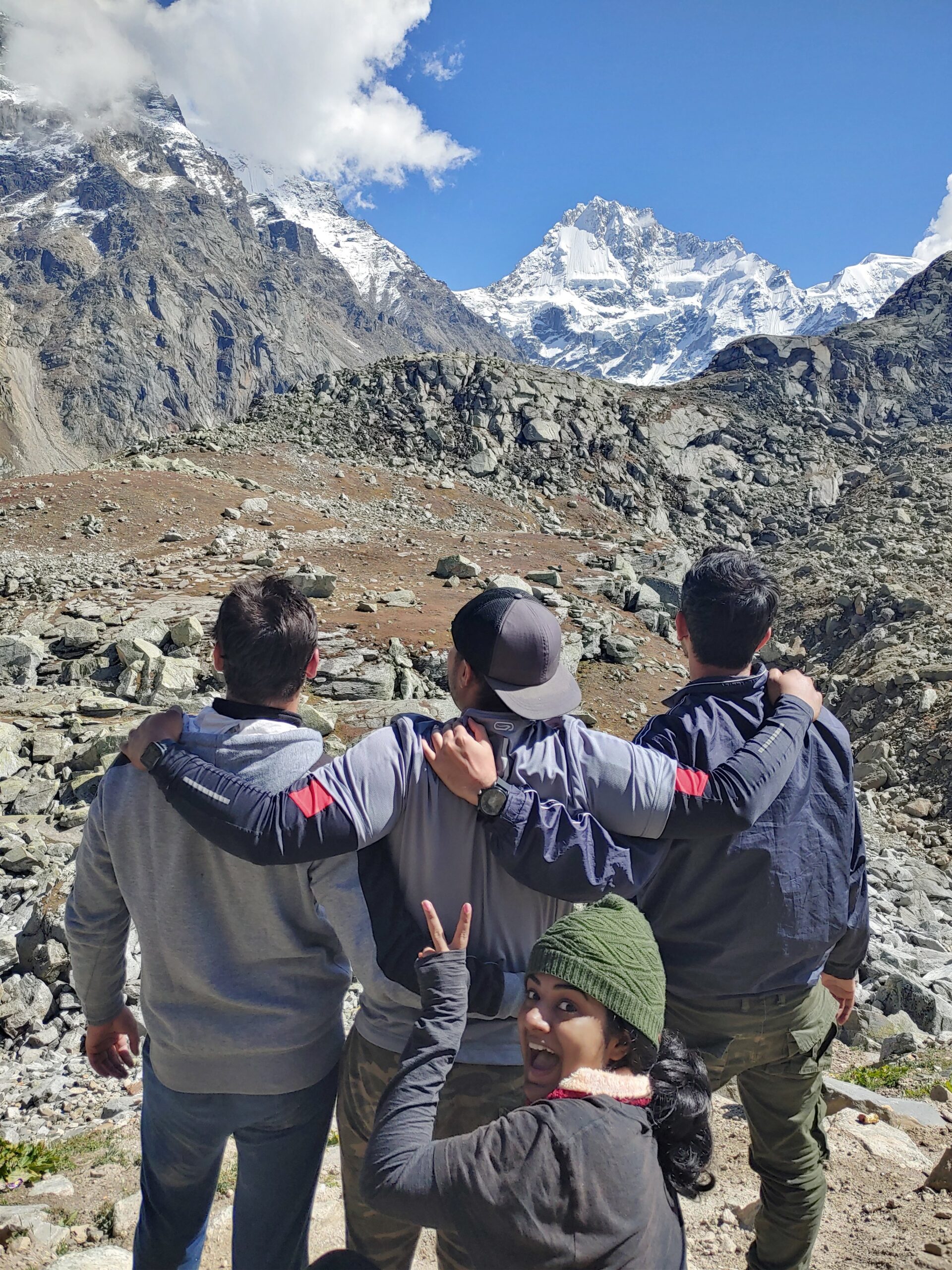
After a difficult hike of five hours, we finally reached the Hampta pass. It covered all sides of the mountain. The scenic view of Deo Tibba, Hanuman Tibba, and Indrasan peak makes the place picturesque. It is a boundary between the Kullu and Lahaul districts of Himachal Pradesh. The barren landscape of Lahaul, devoid of trees and vegetation, is a fascinating example of how geography can change so rapidly in a split of seconds. We took an hour to rest on the top and used the time to do some photography, videos, and enjoy the scenery.

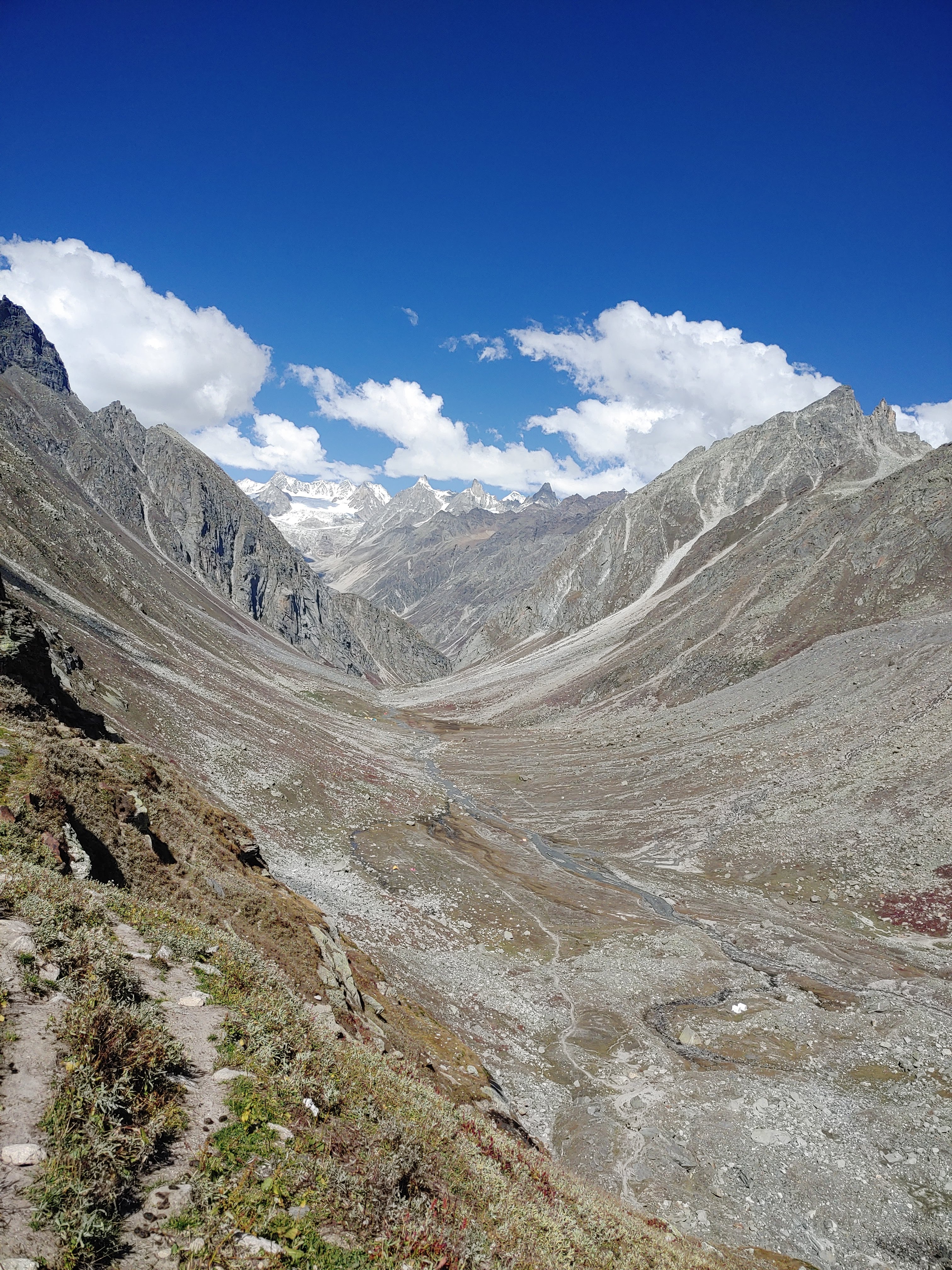
Now it’s time to descend to the other side of the pass into Lahaul. The valley of the Chandra river welcomes you and moves along the trek. While descending, the maximum pressure applies to the knees. You should be careful that you don’t put too much pressure on the knees because sometimes while moving down we take it too lightly during the trek when we descend.
We reached the camp at 3:00 am. One of the best parts of the journey is when you complete the trek. It gives a sense of accomplishment and satisfaction. Yes, the trek officially ends here. We entered the camp as quickly as we could. After having dinner, we all went to sleep early as we were all tired.
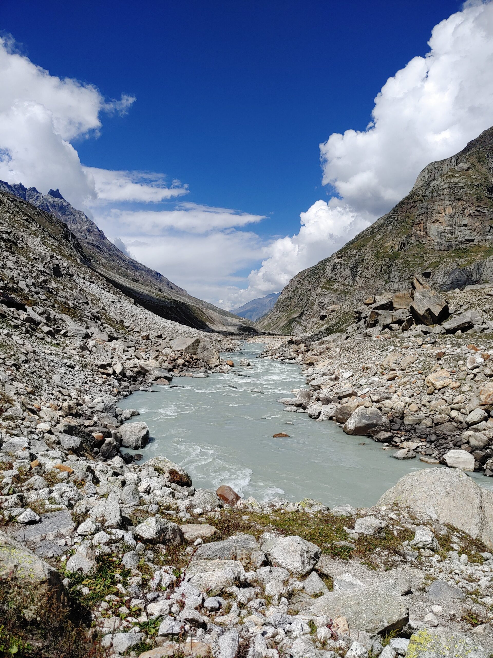

On the next day, we trek toward the road at Chatru, which is lower in height. It’s time to descend more into Lahaul, where the valley of the Chandra Bhaga river welcomes you and moves alongside the trek. The mighty Chandra originates near the Baralacha Pass and travels across Lahaul. It meets the Bhaga river near Tandi and travels toward Chamba, where it is called Chenab.
