Image Source: Surveyor General of India
About Chip Chap River
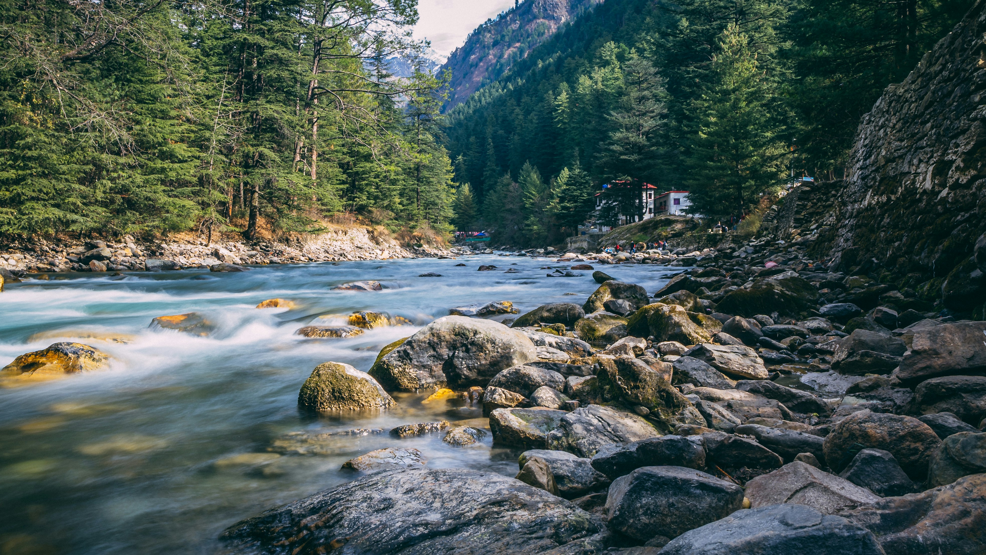
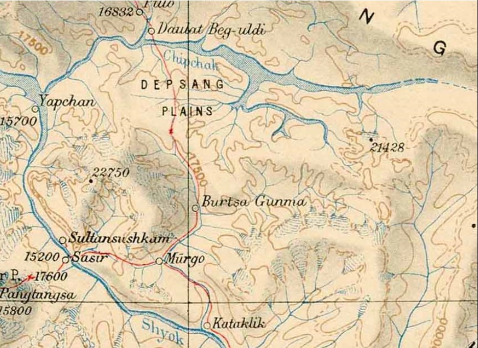
The Chip Chap River is one of the lesser-known rivers of the eastern Ladakh region, flowing through the remote and rugged landscapes of the Depsang Plains near the Karakoram Range. It originates from glacial meltwater in the high-altitude Depsang area and travels westward before eventually joining the Shyok River system. Along its course, the river is fed by several smaller streams descending from surrounding valleys and glaciers. One of its significant tributaries is Lungnak Lungpa, which enters from the north and adds to the river’s flow.
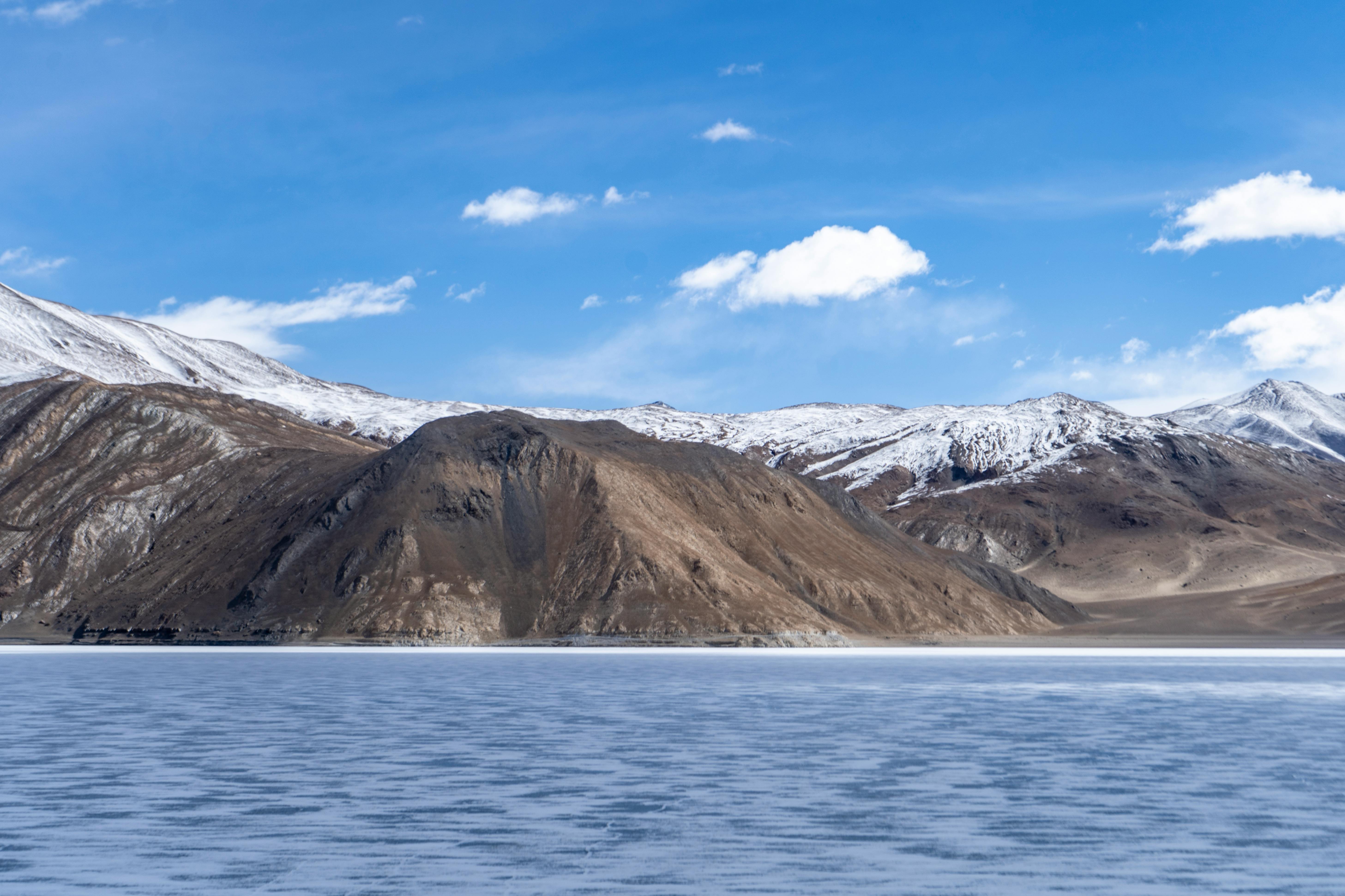
The Chip Chap Valley is characterized by vast barren plains, rocky terrain, and glacial landforms shaped over thousands of years. Like the nearby Chang Chenmo Valley, it is a cold desert environment where harsh climatic conditions limit vegetation growth. During the short summer season, however, patches of hardy alpine grasses and shrubs appear along the riverbanks, providing grazing grounds for wildlife and occasional nomadic herders.
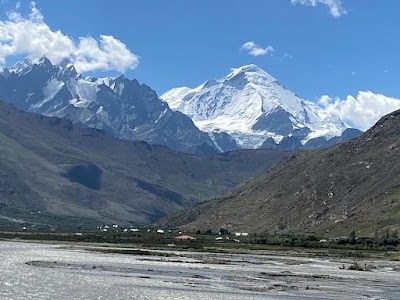
The region around the Chip Chap River holds both geographical and strategic importance due to its proximity to the northern frontiers of Ladakh. Surrounded by snow-clad peaks, ancient glacial valleys, and expansive high-altitude plateaus, the area offers a glimpse into one of the most isolated landscapes in the Himalayas. Although access is highly restricted, the river remains an important feature of the Depsang Plains, contributing to the hydrology of the Shyok basin and sustaining the fragile ecosystem of this extreme environment.
Local Significance
The Chip Chap River flows through a region that has historically served as part of ancient trade and caravan routes connecting Ladakh with Central Asia. Today, the valley is known more for its dramatic scenery and strategic location than for tourism. The surrounding terrain showcases classic cold-desert landscapes, including gravel plains, glacial deposits, and distant mountain ridges of the Karakoram. Wildlife such as Himalayan marmots, Tibetan wild asses (kiang), and migratory birds may occasionally be spotted in parts of the broader Depsang region.
How to Reach Chip Chap River
Reaching the Chip Chap River is extremely challenging because it lies in a sensitive border area of northern Ladakh. Direct tourist access is generally restricted, and special permissions are required for entry into nearby regions.
By Air: The nearest airport is Kushok Bakula Rimpochee Airport in Leh, which is well connected to major Indian cities such as Delhi, Mumbai, and Srinagar.
By Road: From Leh, roads lead toward Nubra Valley and the northern sectors of Ladakh. However, access beyond designated civilian areas is controlled, and independent travel to the Chip Chap Valley is generally not permitted without authorization from relevant authorities.
Best Time to Visit Nearby Areas: May to September is the most favorable period for exploring accessible parts of Ladakh, when roads remain open and weather conditions are relatively stable.
Nearby Attractions
Depsang Plains
One of the highest and largest cold-desert plains in the world, the Depsang Plains are known for their vast open landscapes, extreme altitude, and unique geographical significance.
Karakoram Pass
Historically an important trade route between Ladakh and Central Asia, the Karakoram Pass lies amidst some of the most rugged mountain terrain in the region.
Nubra Valley
Famous for its sand dunes, double-humped Bactrian camels, monasteries, and dramatic mountain scenery, Nubra Valley is among Ladakh’s most popular destinations.
Shyok River
Known as the “River of Death” in historical accounts due to its unpredictable nature, the Shyok River flows through spectacular valleys and forms an important part of Ladakh’s river system.
Diskit Monastery
The oldest and largest monastery in Nubra Valley, Diskit Monastery offers panoramic views of the surrounding landscape and houses a towering statue of Maitreya Buddha.
Turtuk Village
Located near the India-Pakistan border, Turtuk is renowned for its Balti culture, apricot orchards, and picturesque mountain setting.
Maps
FAQs
1. Where is the Chip Chap River located?
The Chip Chap River is located in the Depsang Plains region of northern Ladakh and is a tributary of the Shyok River.
2. What is the source of the Chip Chap River?
The river originates from glacial meltwater and streams flowing from the high-altitude areas near the Karakoram Range.
3. Can tourists visit the Chip Chap River?
Direct access is generally restricted because the river lies within a sensitive border region of Ladakh.
4. Which major river does the Chip Chap River join?
The Chip Chap River ultimately joins the Shyok River system.
5. What type of landscape surrounds the river?
The river flows through a glacially shaped cold-desert landscape consisting of barren plains, gravel valleys, and high mountains.
6. What is the altitude of the Depsang region?
Much of the Depsang Plains lies at elevations exceeding 5,000 meters (16,400 feet) above sea level.
7. Is there vegetation around the river?
Vegetation is sparse due to the harsh climate, though some alpine grasses and hardy shrubs grow during the short summer season.
8. What wildlife can be found in the area?
The broader region supports species such as Himalayan marmots, kiangs, Tibetan wolves, and various high-altitude birds.
9. When is the best time to explore nearby Ladakh attractions?
The best time is between May and September when most roads remain accessible.
10. Why is the Chip Chap River important?
The river contributes to the Shyok River basin, supports the fragile ecosystem of the Depsang Plains, and forms part of one of Ladakh’s most distinctive glacial landscapes.