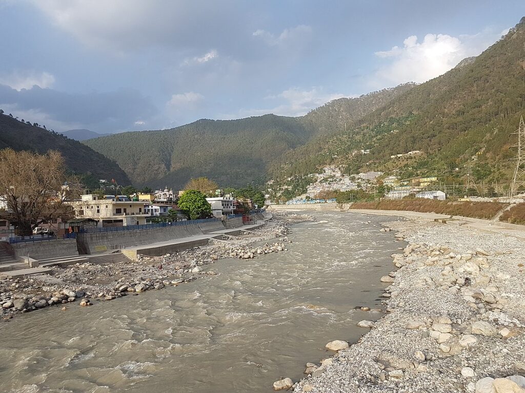
Credit: rakesh bishnoi
Ancient history
The History of Uttarkashi district dates back to the Mahabharata. It was inhabited by the hill tribes namely Kunindas, Tanganas, Kiratas, Uttara Kurus, Khasas, and Kunindas. To the north lie the state of Himachal Pradesh and the country of Tibet.
Administrative history
Covering an area of 8016 sq. km., Uttarkashi was formed in February 24, 1960, by constituting the parganas of Rawain and Uttarkashi of Rawain tahsil of erstwhile Tehri Garhwal district. To the north lie the state of Himachal Pradesh and the country of Tibet. From the west, it is bordered by the Chamoli district.
Kashi and Uttarkashi
Uttarkashi is located north of Kashi. But apart from this, there are many interesting similarities between both. Both are situated on the same bank of the Ganga and have a temple dedicated to Lord Vishwanath. Manikarnika Ghat is situated at both places.
Uttarkashi lies between the rivers Syalam Gad, also known as the Varuna, and Kaligad, also known as the Asi. Similarly, Varuna and the Asi are also the names of the rivers between which the Kashi of the plain lies.
Modern History
Before the uttarkashi, the district of uttarkashi came under the empire of the Gharwal kingdom. Gorkhas invaded the region in 1803 and ruled until the British came for the help of Gharwal. After ousting Gorkhas in 1815, Britisheers divided the Garhwal into eastern and western Garhwal. The area to the west of the Alaknanda river was ruled by Britishers as a western Garhwal, while the eastern area was given to the ruler heir of the Garhwal dynasty, Sudarshan Sah, with the exception of Dun. Later, Tehri Gharwal was merged with Uttar Pradesh in 1949.
Uttarkashi map

Credit: uttarkashi.nic.in
