Image Source: Narender Grewal
About Satopanth Lake
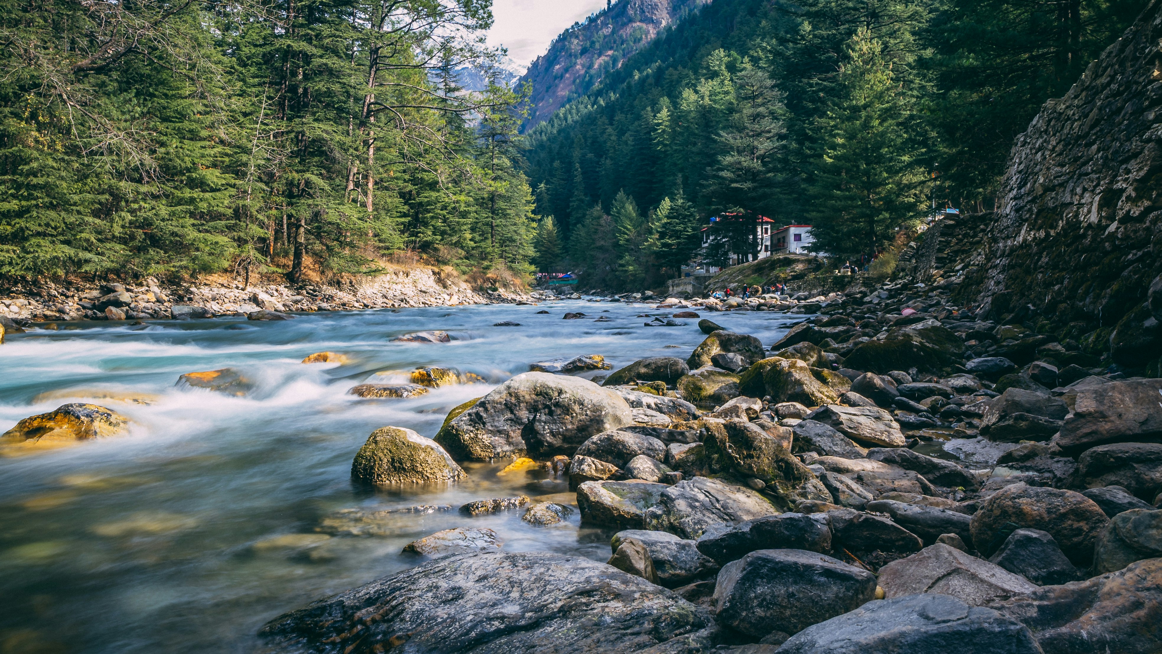
Hidden deep in the high Himalayas of Uttarakhand, Satopanth Lake is one of the most breathtaking glacial lakes in the Garhwal region. Perched at an altitude of around 15,100 feet, this pristine triangular lake lies amidst snow-covered peaks, glaciers, rocky moraines, and alpine meadows. The journey to the lake is not just a trek; it is a spiritual and scenic adventure that takes travelers through some of the most dramatic landscapes near Badrinath.
The trek begins from Mana Village, often referred to as the last Indian village near the Indo-Tibetan border. From here, the trail follows the mighty Alaknanda River and gradually ascends through waterfalls, lush meadows, glacier valleys, and remote campsites. Along the route, trekkers pass famous spots such as Vasundhara Falls, Sahastradhara, Lakshmi Van, and Chakratirtha.
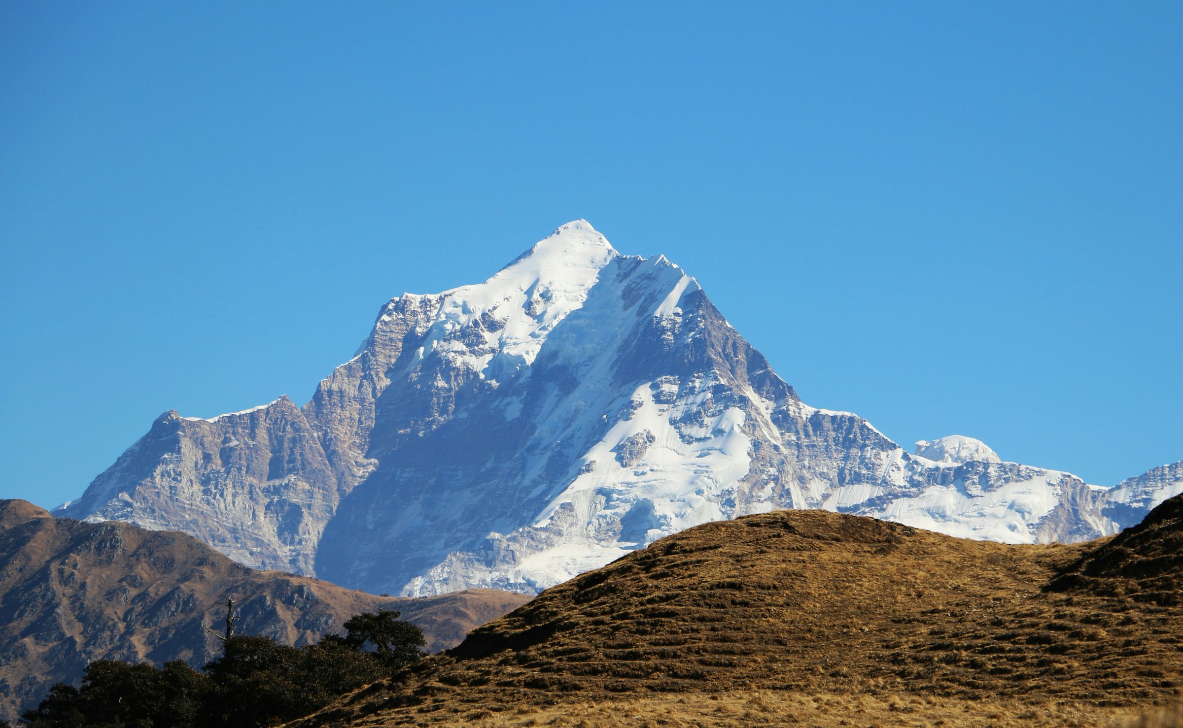
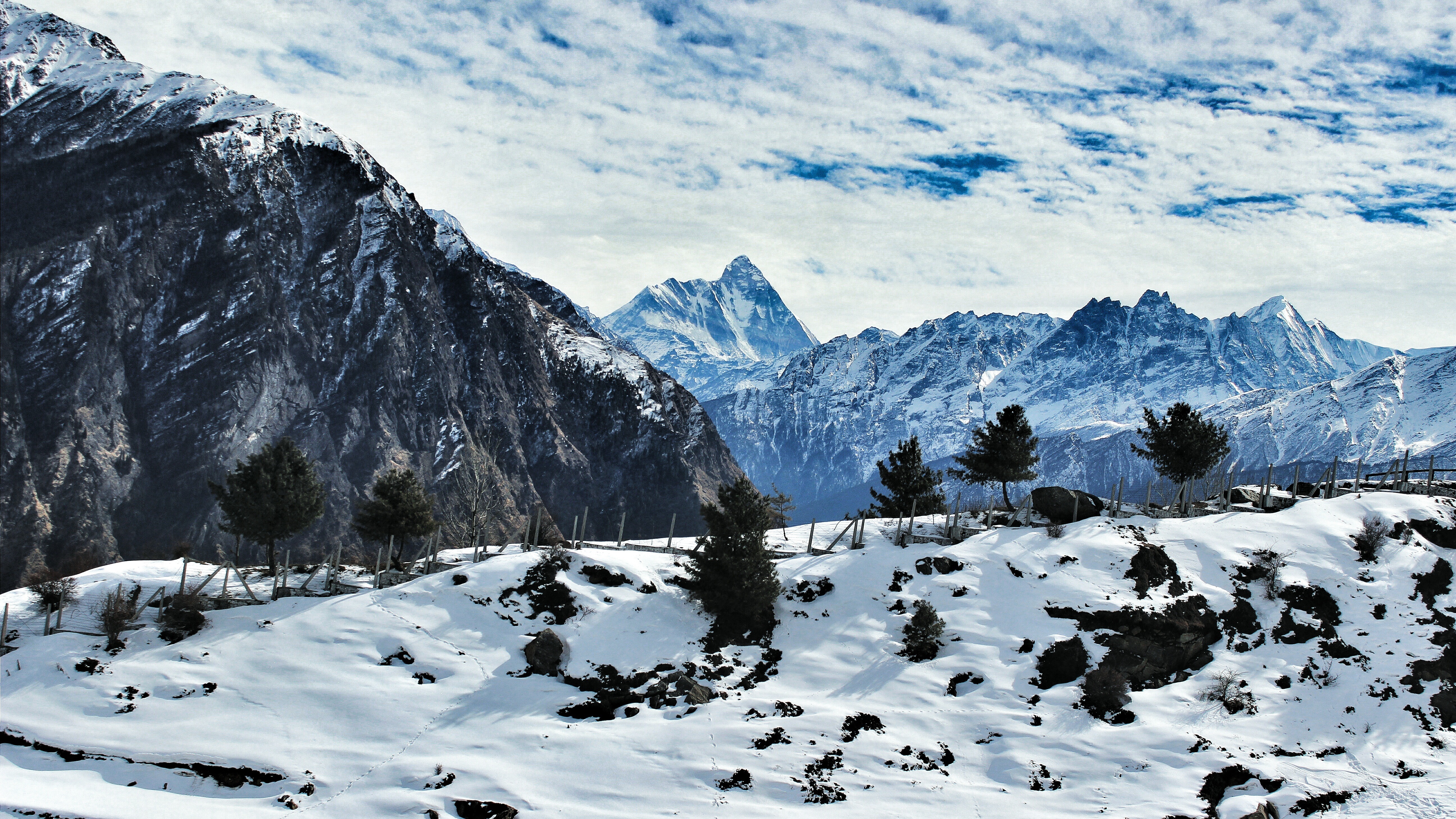
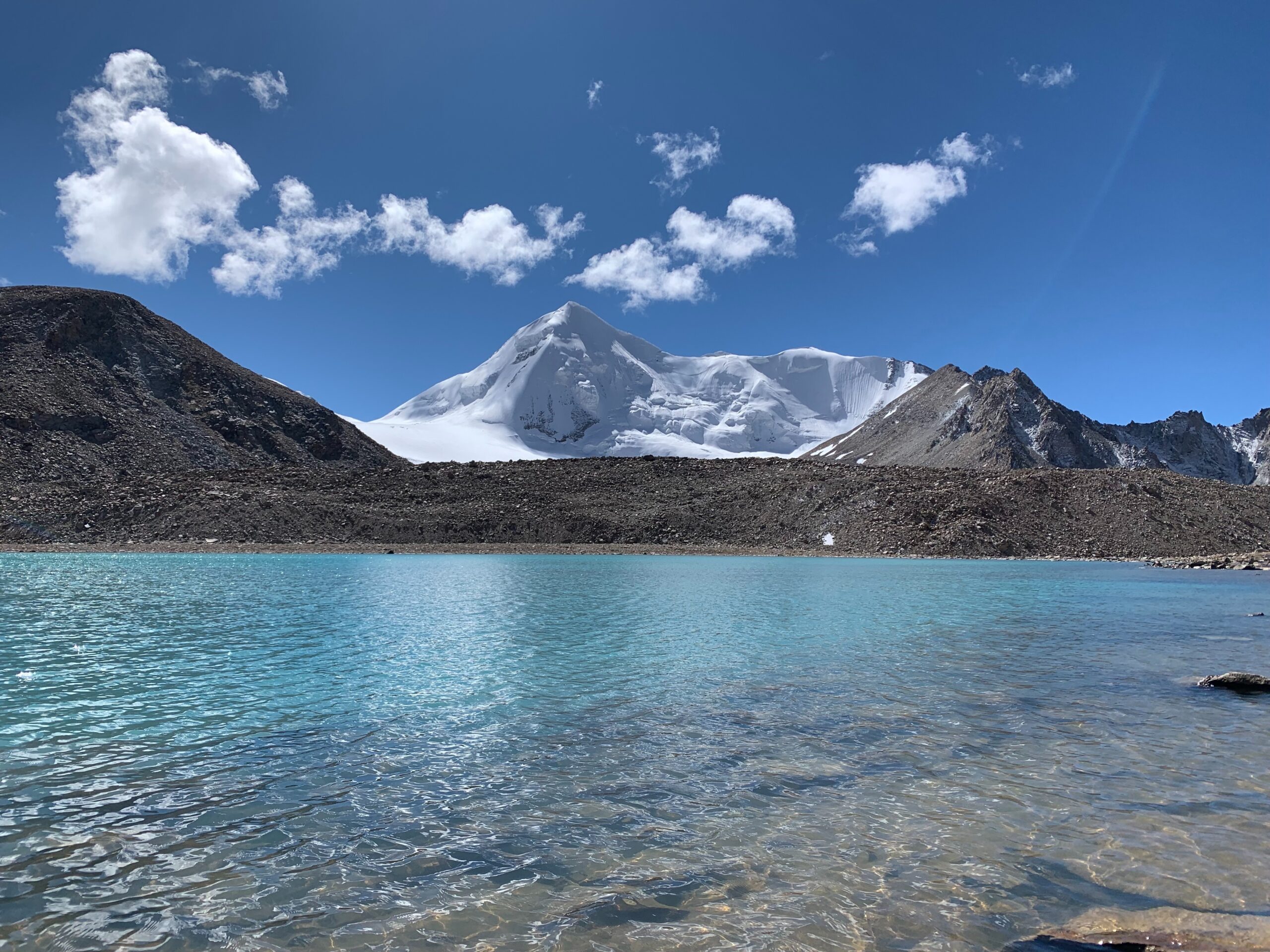
What makes Satopanth Lake truly special is its setting. The lake is surrounded by towering Himalayan peaks like Chaukhamba, Neelkanth Peak, Swargarohini, and Balakun Peak. The reflection of these majestic mountains in the crystal-clear water creates an unforgettable sight. The lake’s unique triangular shape also adds to its mystical charm and spiritual significance.
According to local beliefs, the three corners of the lake are associated with the Hindu trinity—Brahma, Vishnu, and Mahesh (Shiva). Pilgrims and sadhus often visit the lake during favorable weather months, believing it to be a sacred place for meditation and spiritual cleansing. Interestingly, studies and reports have often highlighted the purity of the lake’s water, which is considered exceptionally clean by environmental standards.
Natural Beauty Around Satopanth Lake
The landscape around Satopanth Lake feels untouched and raw. During the trek, you witness changing scenery at every stage. Dense patches of Bhojpatra trees, glacier-fed streams, rocky valleys, and high-altitude meadows create a dramatic Himalayan environment. In summer, the valleys bloom with alpine flowers, while distant glaciers shimmer under the sunlight.
One of the major highlights is Vasundhara Falls, where water plunges nearly 400 feet down a rocky cliff. Further ahead lies Sahastradhara, meaning “thousand streams,” where countless tiny waterfalls descend from the surrounding mountainsides, creating an almost magical atmosphere.
The region is also rich in Himalayan wildlife. Trekkers occasionally spot blue sheep, Himalayan birds, and mountain foxes in the higher valleys. Since the area remains remote and less commercialized, it still retains a peaceful wilderness rarely found in popular trekking destinations.
Difficulty Level of the Trek
The Satopanth Lake Trek is considered a moderate to difficult trek because of its high altitude, glacier terrain, and long walking distances. Trekkers encounter steep ascents, rocky trails, moraine sections, and unpredictable mountain weather.
Good physical fitness and prior trekking experience are highly recommended. Proper acclimatization is important, especially after reaching Mana and Badrinath, as the altitude gain becomes significant. Weather can change rapidly in the Himalayas, so trekkers should always carry warm clothing, rain protection, and essential trekking gear.
The best time to visit is generally from May to June and September to early October, when the trails are relatively stable and the skies remain clearer.
Detailed Itinerary of Satopanth Lake Trek
Day 1 – Dehradun to Joshimath
The journey begins with a long but scenic drive from Dehradun to Joshimath. Covering roughly 300 kilometers, the drive usually takes around 10 to 11 hours. The route passes through beautiful mountain roads, river valleys, and famous hill towns.
After reaching Joshimath in the evening, trekkers can explore the local markets, interact with locals, and rest for the night. Joshimath also serves as an important gateway for many Himalayan expeditions and pilgrimages.
Day 2 – Joshimath to Mana Village and Trek to Lakshmi Van
From Joshimath, a short drive takes you to Badrinath, one of the holiest Char Dham pilgrimage destinations in India. Just 4 kilometers ahead lies Mana Village, known as the last village before the Indo-China border.
Trekkers usually spend some time walking around the village to acclimatize before beginning the actual trek. The trail initially follows the Alaknanda River and gradually opens into wide Himalayan landscapes.
Soon, the magnificent Vasundhara Falls appears across the valley. Cascading from a height of around 400 feet, the waterfall creates a mesmerizing sight against the rugged cliffs.
As the trail progresses toward Lakshmi Van, trekkers encounter caves used by shepherds and sadhus. Some sections involve crossing rocky boulder zones that require careful footing. Eventually, the trail reaches Lakshmi Van, a beautiful campsite surrounded by green meadows and ancient Bhojpatra trees.
Day 3 – Lakshmi Van to Chakratirtha
This is considered one of the most challenging sections of the trek. The route continues along the Alaknanda River while gradually entering a harsher glacial landscape.
Throughout the day, trekkers enjoy magnificent views of Neelkanth, Balakun, and Chaukhamba peaks. One of the most spectacular places on this route is Sahastradhara, where numerous thin waterfalls descend from the mountain slopes, creating a heavenly atmosphere.
After crossing rocky terrain and glacier-fed streams, trekkers finally reach Chakratirtha, a stunning meadow campsite surrounded by towering Himalayan peaks. The peaceful environment and dramatic scenery make it one of the most memorable camping spots of the trek.
Day 4 – Chakratirtha to Satopanth Lake and Return
The trail to Satopanth Lake is relatively shorter but involves tricky moraine and boulder sections. Trekkers move carefully along the lateral moraine while crossing spurs descending from the slopes of Neelkanth Peak.
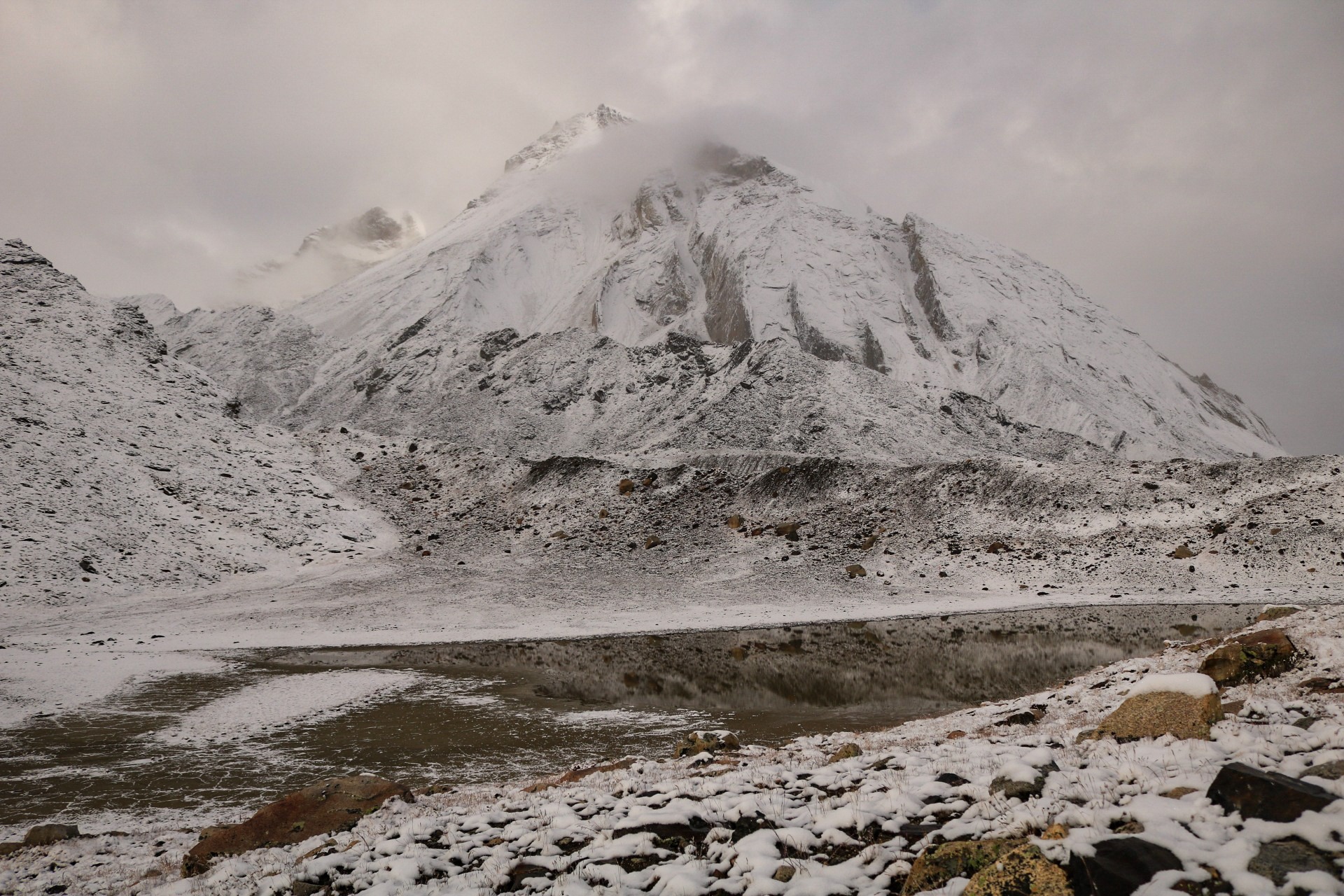
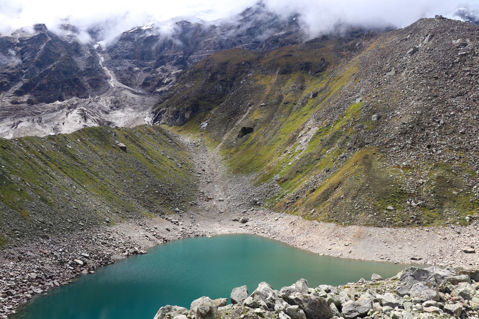
As the route gains height, the landscape becomes even more surreal. Small glacial ponds, snow patches, and massive mountain walls accompany the journey. Eventually, the magnificent Satopanth Lake comes into view.
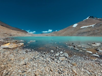
The lake’s blue-green water, triangular shape, and serene surroundings create an unforgettable sight. Many trekkers spend quiet moments here admiring the reflections of Chaukhamba and Neelkanth peaks in the still water.
After spending time at the lake, trekkers return to Chakratirtha for an overnight stay.
Day 5 – Chakratirtha to Chamtoli
The return trek begins with a descent toward Chamtoli. Although descending is comparatively easier, trekkers still need to navigate rocky sections carefully. The changing mountain views during the return journey offer a completely different perspective of the valley.
Camping overnight in the peaceful surroundings of Chamtoli provides another opportunity to experience the calmness of the Himalayas.
Day 6 – Chamtoli to Mana Village and Return to Joshimath
On the final day, trekkers complete the remaining descent back to Mana Village. After reaching the village, taxis are available for the drive back to Joshimath.
The journey ends with unforgettable memories of glaciers, sacred landscapes, roaring waterfalls, and the untouched beauty of the Garhwal Himalayas.
Best Time to Visit Satopanth Lake
The ideal time for the Satopanth Lake Trek is between May and June and again from September to early October. During these months, the weather remains relatively stable, and the trekking routes are more accessible.
The monsoon season is usually avoided because heavy rainfall can trigger landslides and make the trails slippery and dangerous. Winters bring heavy snowfall, making the region inaccessible for most trekkers.
Things to Carry for the Trek
Since Satopanth Lake lies at a very high altitude, proper preparation is essential. Trekkers should carry warm layered clothing, waterproof jackets, trekking shoes with strong grip, gloves, woolen caps, sunglasses, sunscreen, and personal medicines.
A good-quality backpack, trekking poles, energy snacks, and reusable water bottles are also highly recommended. Because of the remote terrain, it is always safer to trek with an experienced guide or organized trekking group.
Maps and Location
FAQs
1. Where is Satopanth Lake located?
Satopanth Lake is located in the Garhwal Himalayas of Uttarakhand near Badrinath and Mana Village.
2. What is the altitude of Satopanth Lake?
The lake is situated at an altitude of approximately 15,100 feet above sea level.
3. Is the Satopanth Lake Trek difficult?
Yes, the trek is considered moderate to difficult due to high altitude, rocky terrain, and glacier sections.
4. How many days are required for the Satopanth Lake Trek?
The trek usually takes around 5 to 6 days, depending on the itinerary and weather conditions.
5. What is the best time to visit Satopanth Lake?
The best months are May–June and September–October.
6. Is prior trekking experience necessary?
Previous trekking experience is recommended because the route involves challenging terrain and high-altitude conditions.
7. Can beginners do the Satopanth Lake Trek?
Fit beginners with proper preparation and guidance may attempt the trek, but it is more suitable for experienced trekkers.
8. Why is Satopanth Lake considered sacred?
According to Hindu mythology, the triangular lake is associated with Brahma, Vishnu, and Shiva, making it spiritually significant.
9. What are the major attractions on the trek?
Major highlights include Mana Village, Vasundhara Falls, Sahastradhara, Lakshmi Van, Chakratirtha, and panoramic Himalayan peaks.
10. Is camping allowed near Satopanth Lake?
Trekkers usually camp at Chakratirtha and visit the lake as part of a day excursion due to terrain and weather conditions.