Image source: ꧁༈ᱰ•_•Åвнï•_•ᱵ༈꧂
About Kamet
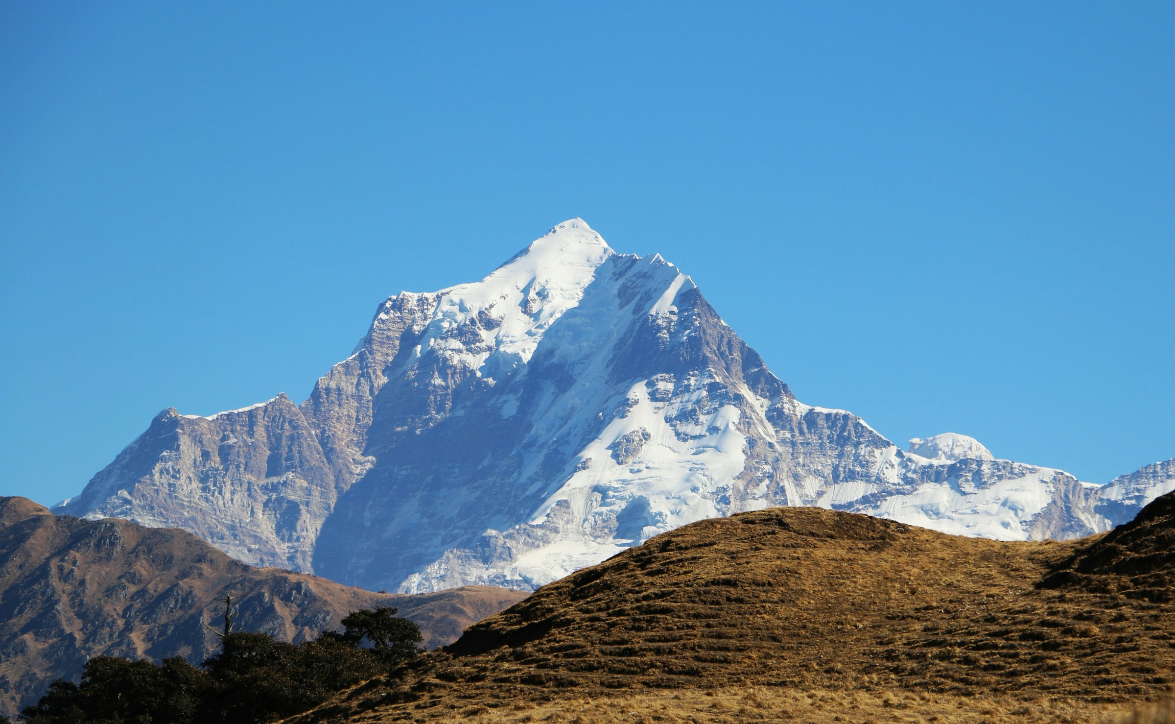
Kamet is the second-highest mountain in Uttarakhand after Nanda Devi and one of the most magnificent peaks in the Garhwal Himalayas. Rising to an impressive height of 7,816 meters (25,643 feet), this snow-covered giant stands near the Indo-Tibetan border in the Chamoli district. Because of its remote location and towering elevation, Kamet has long fascinated mountaineers, geographers, and nature lovers alike.
Unlike many Himalayan peaks surrounded by bustling trekking routes, Kamet remains secluded and untouched, preserving its raw wilderness. The mountain dominates the skyline north of the famous pilgrimage route leading to Mana, India’s last village before the Tibet border. Its rugged ridges, sprawling glaciers, and dramatic ice fields make it one of the most spectacular mountain landscapes in the Indian Himalayas.
Origin of the Name “Kamet”
The name Kamet is believed to have Tibetan origins. According to local interpretations, it translates to “Grandmother of the Sacred Snow Chain,” reflecting the mountain’s towering presence among the surrounding Himalayan peaks.
British mountaineer Frank Smythe, who documented his successful expedition in his famous book Kamet Conquered, suggested that the name was derived from the Tibetan word “Kangmed.” Over time, the pronunciation gradually evolved into “Kamet.” Regardless of its exact linguistic roots, the name has become synonymous with one of India’s most iconic Himalayan summits.
Geography and Surrounding Peaks
Kamet forms part of the Zanskar Range, which stretches from the Suru River in Ladakh to the upper reaches of the Karnali River in western Nepal. The mountain lies in one of the most rugged and glaciated regions of Uttarakhand, surrounded by towering peaks, deep valleys, and vast expanses of permanent snow.
Several prominent Himalayan peaks stand close to Kamet, creating an impressive alpine landscape. Mukut Parbat rises to its northwest, while Abi Gamin and Mana Peak stand towards its southern side. Together, these mountains form an interconnected chain of high Himalayan summits that remain snowbound for most of the year. The region is largely inaccessible except to experienced mountaineering expeditions, making it one of the least disturbed parts of the Indian Himalayas.
Glaciers Around Kamet
Kamet is surrounded by an extensive network of glaciers that play a vital role in the Himalayan ecosystem. On the western side of Kamet, Abi Gamin, and Mukut Parbat lies the West Kamet Glacier, while the East Kamet Glacier stretches along the eastern slopes between Kamet and Mana Peak.
Another important glacier in the region is the Raikhana (Raikana) Glacier, which flows east of Abi Gamin before joining the East Kamet Glacier. Together, these glaciers create a vast glacial system that continuously feeds several important Himalayan rivers.
These glaciers not only shape the dramatic landscape but also act as natural freshwater reservoirs, storing snowfall accumulated over thousands of years before gradually releasing meltwater into the river systems.
Rivers Originating from the Kamet Glacier System
The glaciers surrounding Kamet serve as important sources for some of the major rivers of the Garhwal Himalayas. The West Kamet Glacier drains into the sacred Saraswati River, while the East Kamet Glacier feeds the Dhauliganga River, one of the principal tributaries of the Alaknanda River.
These glacier-fed rivers support downstream ecosystems, villages, agricultural lands, and eventually contribute to the mighty Ganga river system. The glaciers of Kamet therefore hold tremendous geographical, ecological, and hydrological significance for northern India.
How to Reach Kamet
Although Kamet itself is accessible only through technical mountaineering expeditions requiring permits and experienced climbing teams, visitors can reach the base region through Chamoli district.
The nearest major town is Joshimath, located around 45 km from Mana Village, which serves as the gateway to the upper Himalayan region. From Joshimath, travelers can drive to Mana, the last inhabited Indian village near the Indo-Tibetan border. Beyond Mana, access is strictly regulated by the authorities, and only authorized mountaineering teams with permits from the Indian Mountaineering Foundation and local administration are allowed to proceed toward the Kamet region.
The nearest railway station is Rishikesh, approximately 270 km away, while Jolly Grant Airport, Dehradun, about 290 km from Joshimath, is the closest airport. Regular buses and taxis connect Dehradun, Haridwar, and Rishikesh with Joshimath throughout the pilgrimage season.
Nearby Attractions
Visitors exploring the Kamet region can also discover several remarkable destinations nearby:
- Mana Village – Known as India’s last village before the Tibet border, famous for its rich culture, traditional stone houses, and breathtaking Himalayan scenery.
- Badrinath Temple – One of the four sacred Char Dham shrines dedicated to Lord Vishnu and among the most revered pilgrimage sites in India.
- Vasudhara Falls – A spectacular waterfall cascading from a height of over 120 meters, reached via a scenic trek from Mana Village.
- Bhim Pul – A massive natural rock bridge spanning the Saraswati River, associated with legends from the Mahabharata.
- Satopanth Tal – A high-altitude glacial lake revered in Hindu mythology and popular among experienced trekkers.
- Joshimath – A historic Himalayan town known for its ancient temples, monasteries, and as the gateway to several trekking and mountaineering expeditions.
- Valley of Flowers National Park – A UNESCO World Heritage Site celebrated for its alpine meadows filled with hundreds of species of Himalayan wildflowers during the monsoon.
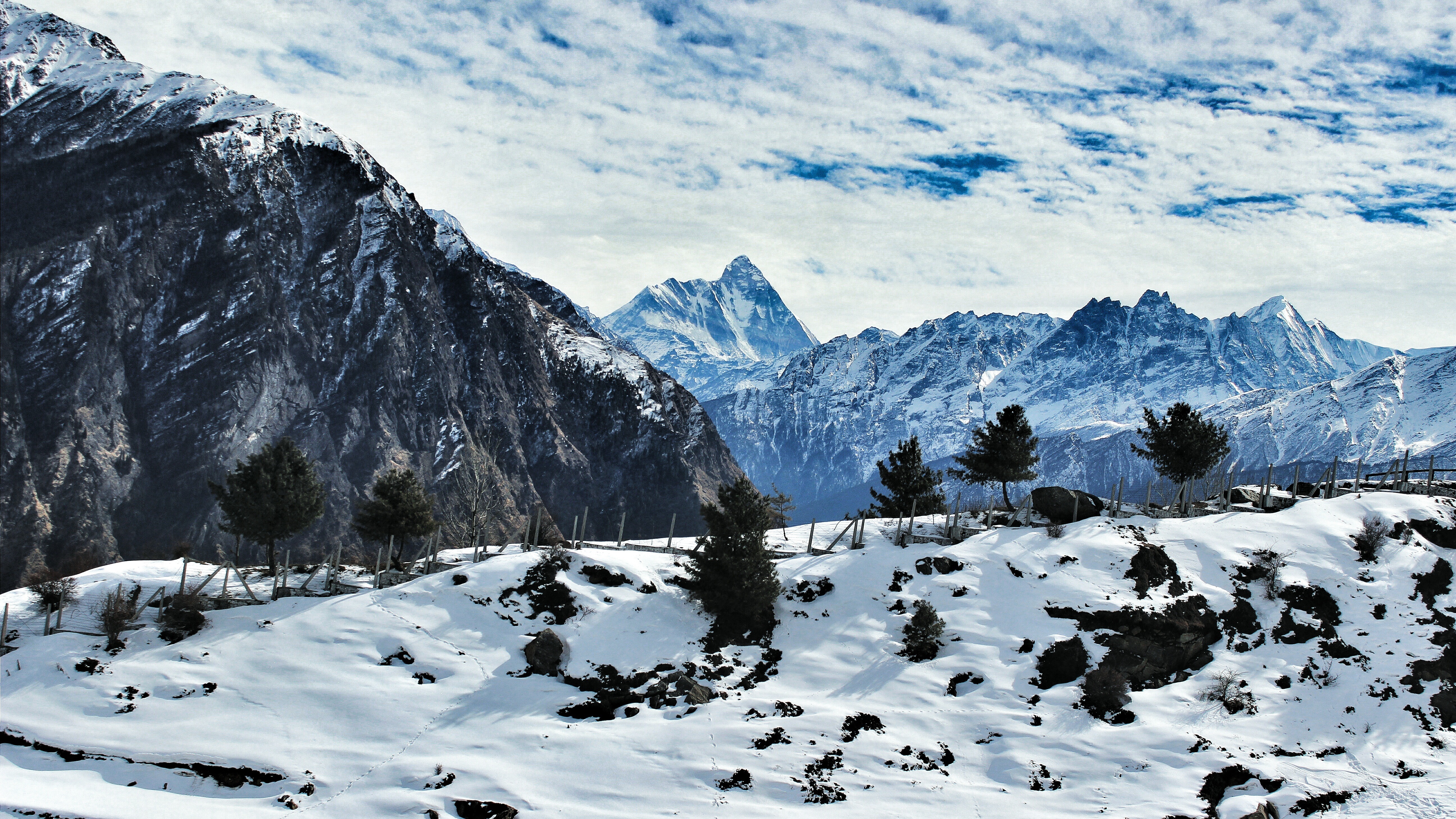
- Auli – One of India’s premier skiing destinations offering panoramic views of Nanda Devi, Kamet, Mana, and other Himalayan peaks.
Map of Kamet
FAQs
1. Where is Kamet Peak located?
Kamet is located in the Chamoli district of Uttarakhand near the India-Tibet border in the Garhwal Himalayas.
2. What is the height of Kamet Peak?
Kamet stands at an elevation of 7,816 meters (25,643 feet) above sea level.
3. Is Kamet the highest mountain in Uttarakhand?
No. Nanda Devi is the highest peak in Uttarakhand, while Kamet is the second highest.
4. Can tourists climb Kamet?
No. Climbing Kamet requires advanced mountaineering skills, official permits, and participation in organized expeditions.
5. Which glaciers are found around Kamet?
The major glaciers include the East Kamet Glacier, West Kamet Glacier, and Raikhana Glacier.
6. Which rivers originate from the Kamet glacier system?
The glaciers feed the Saraswati River and the Dhauliganga River, which later joins the Alaknanda.
7. What is the best time to visit the Kamet region?
The best time to visit nearby areas such as Joshimath, Badrinath, and Mana is between May and October, depending on weather conditions.
8. What is the nearest village to Kamet?
Mana Village is the nearest inhabited settlement and serves as the gateway to the upper Himalayan region.
9. Why is Kamet famous among mountaineers?
Kamet is renowned for its technical climbing challenges, remote location, massive glaciers, and historical mountaineering expeditions.
10. Do visitors need permits to visit Kamet?
General tourists can visit Mana and nearby attractions, but entering the Kamet expedition area requires special government and mountaineering permits due to its proximity to the international border.