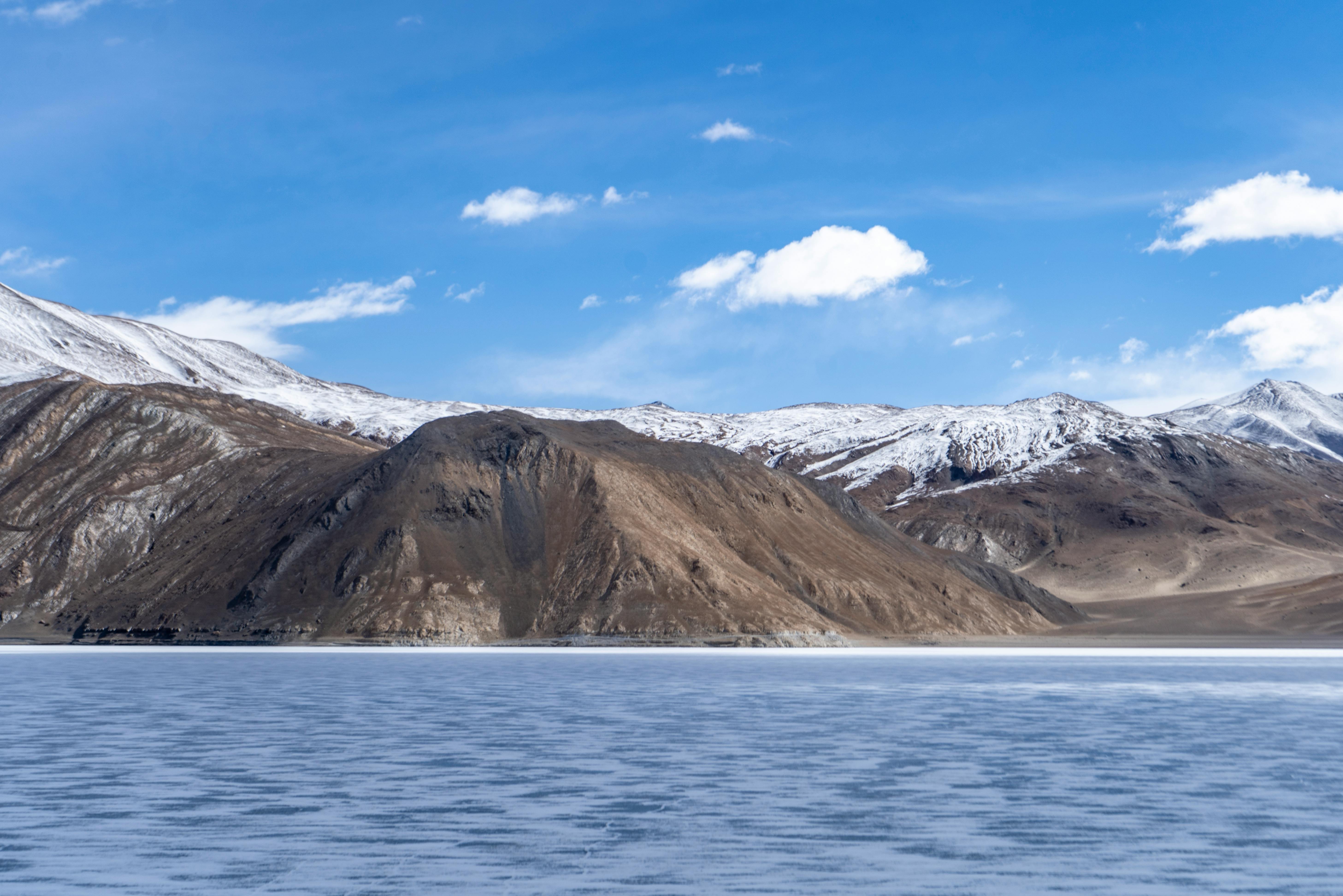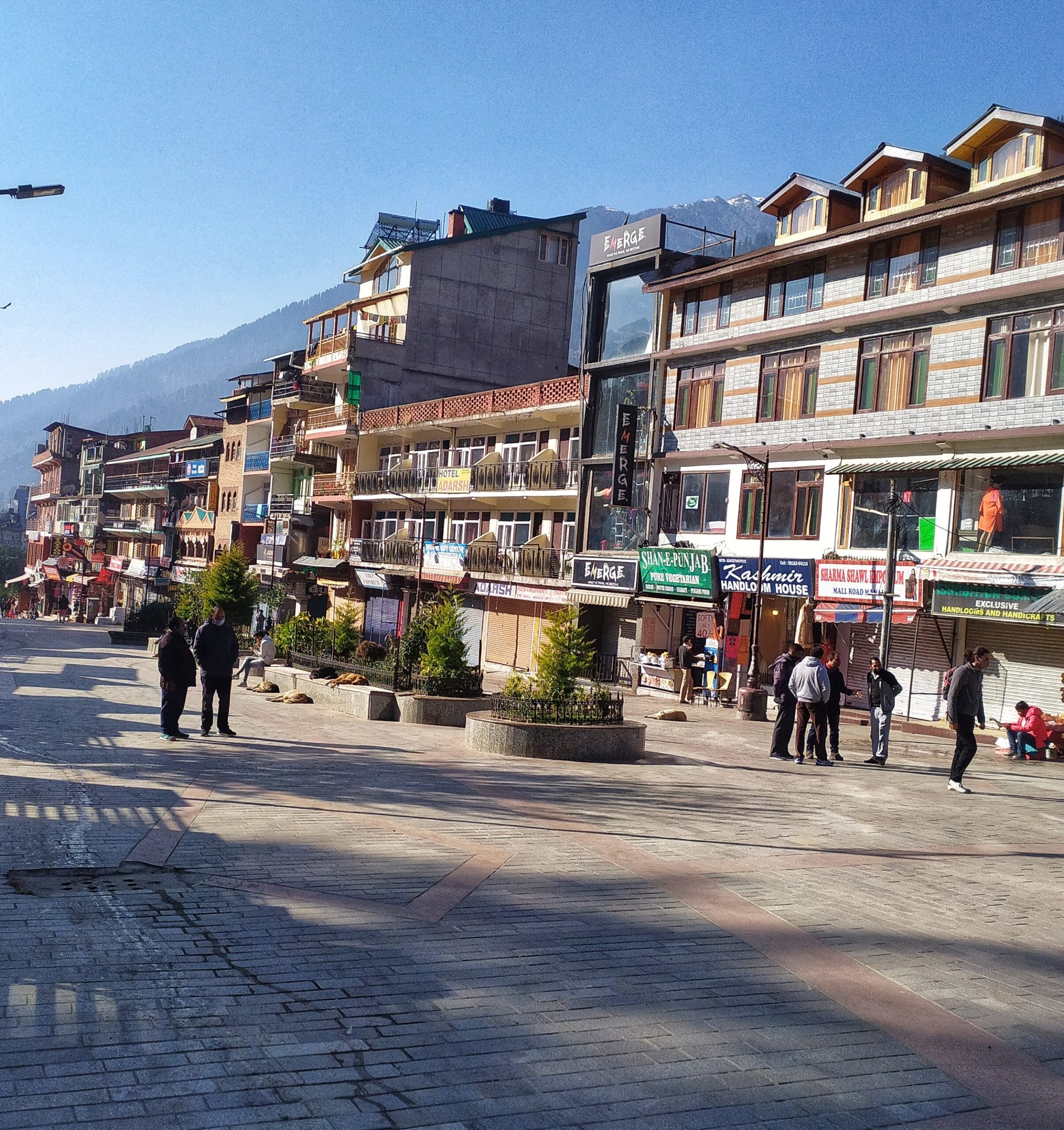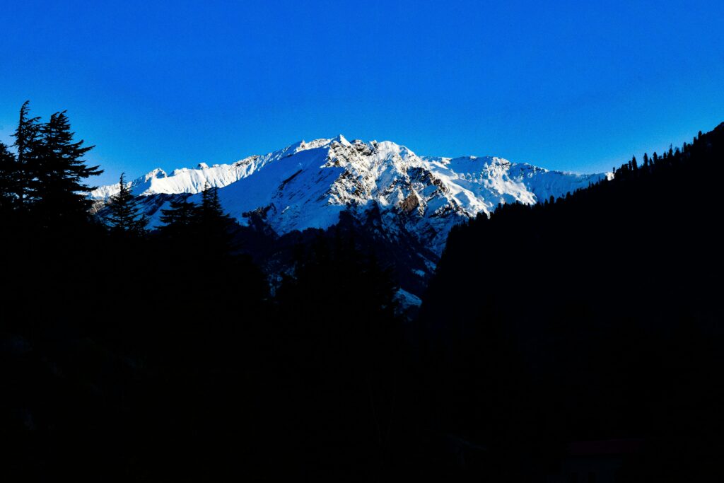
Manali is one of Himachal Pradesh’s best known gateways to the Himalayas, but its importance extends far beyond sightseeing, skiing and trekking. The mountains surrounding the Beas Valley contain a complex landscape of glaciated basins, high alpine ridges, snow covered summits and remote mountain passes. For mountaineers, this landscape provides access to a variety of climbing objectives, from relatively accessible trekking peaks to technically demanding summits above 6,000 metres.
The upper Beas Kund basin is particularly important. Reached through the Solang Valley and Dhundi, this high mountain region lies beneath peaks such as Friendship Peak, Shitidhar, Ladakhi Peak and Hanuman Tibba. Farther into the Pir Panjal Range, Deo Tibba and Indrasan dominate a more demanding mountaineering landscape, where glaciers, steep snow slopes, exposed ridges and unstable terrain can complicate an expedition.
Not every mountain in this region is equally remote or rarely climbed. Friendship Peak, Patalsu Peak, Shitidhar and Deo Tibba are established mountaineering objectives, and the Atal Bihari Vajpayee Institute of Mountaineering and Allied Sports in Manali conducts mountaineering training and climbing excursions involving several of these peaks.
The more interesting story is the contrast between these recognised summits and the lesser documented ridges, subsidiary summits and high mountain terrain surrounding them. While trekkers may follow established routes towards Beas Kund or Chandrakhani Pass, climbing a summit in the same landscape can require entirely different skills, equipment and preparation.
This guide explores ten mountain objectives and high altitude areas associated with Manali. It distinguishes established peaks from broader ridge systems, explains their geographical setting and outlines how climbers approach the surrounding terrain. Elevations are approximate where published figures vary, and the frequency of summit attempts cannot be reliably established for every mountain.
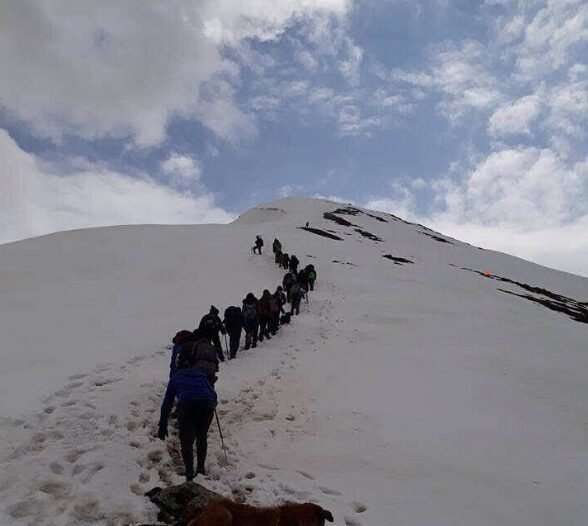
Image Source: hrutik pawar/ Google Maps
Patalsu Peak: An Accessible Summit Above Solang Valley
Approximate elevation: 4,220 metres
Patalsu Peak is one of the more accessible high altitude summits near Manali and offers an introduction to the mountainous terrain above Solang Valley. Unlike the major glaciated peaks farther into the Pir Panjal Range, Patalsu is commonly approached as a demanding high altitude hike or trekking summit, although snow and weather conditions can make the upper sections considerably more difficult.
The approach typically starts from the Solang Valley area, with the trail climbing through forest, open meadows and increasingly exposed mountain slopes. As the elevation increases, the landscape opens towards the surrounding Himalayan ranges. The upper mountain may involve steep ground, loose rock and snow, depending on the season.
Patalsu is particularly appealing because it offers a high mountain experience without the scale of a full technical expedition to a 5,000 or 6,000 metre summit. However, its relative accessibility should not be confused with an absence of risk. Snow covered slopes, poor visibility and rapidly changing weather can turn a straightforward route into a serious undertaking.
The peak is also an excellent example of how the mountains around Manali offer different levels of challenge within a relatively small geographical area. A visitor can travel from the commercial activity zone of Solang to a mountain environment where route finding, endurance and appropriate equipment become important.
How to reach the approach: Travel from Manali towards Palchan and Solang Valley. The usual hiking approach begins in the Solang area, but the exact trailhead and route conditions should be confirmed locally before setting out.
Best for: Fit hikers and trekkers seeking a high altitude summit experience, subject to current trail conditions and appropriate preparation.
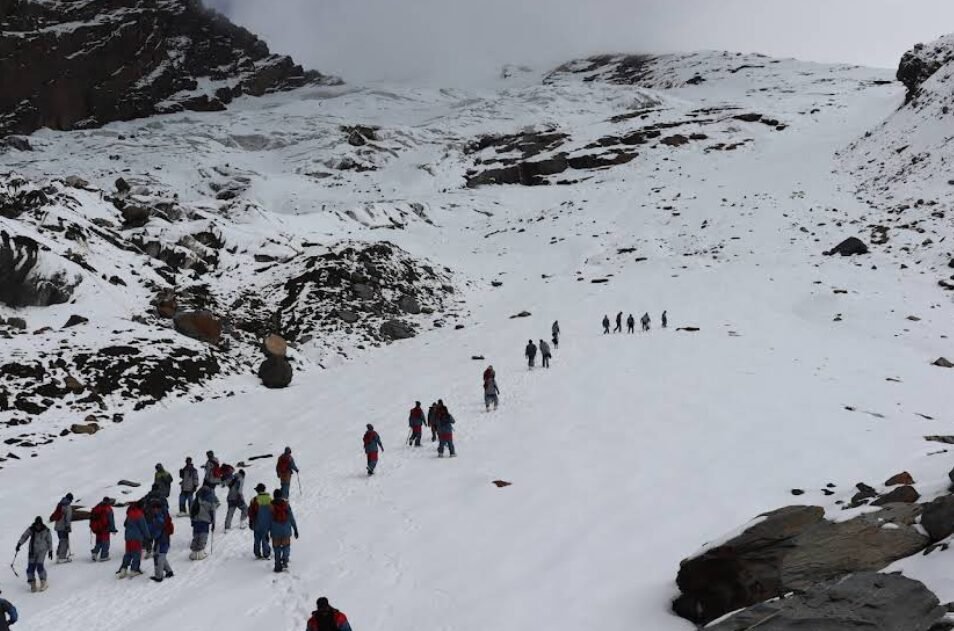
Image Source: Shashank/ Google Maps
Shitidhar Peak: A Summit Above the Beas Kund Basin
Approximate elevation: 5,290 metres
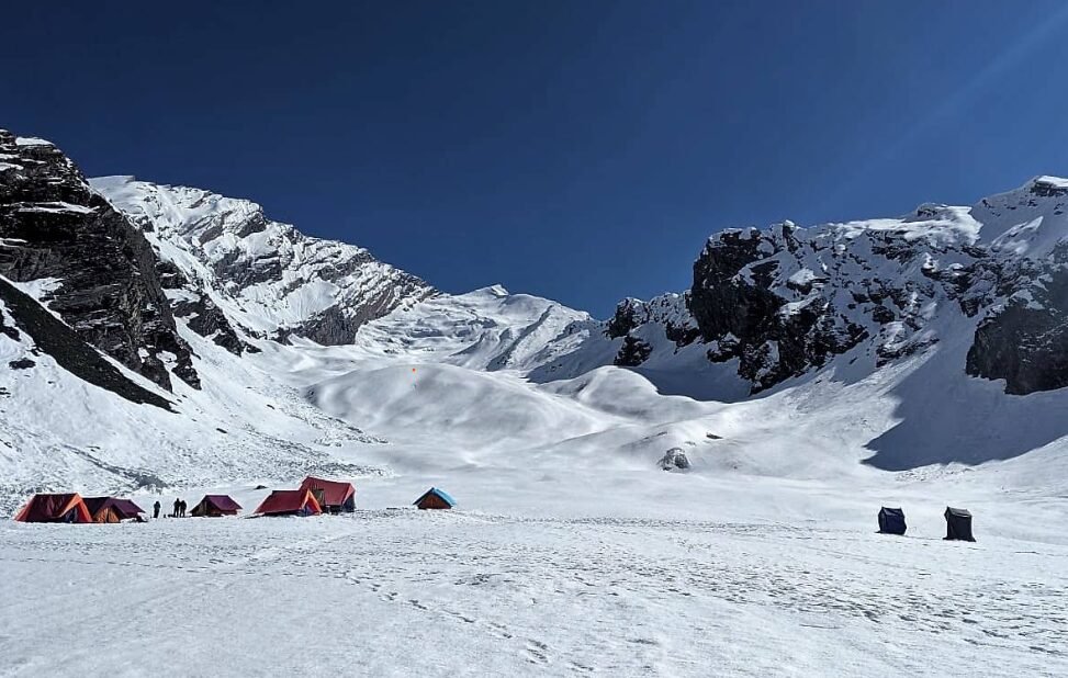
Shitidhar Peak rises above the Beas Kund mountain basin, one of the best known high altitude trekking and mountaineering areas near Manali. Its setting places it among the snow covered summits visible from the upper reaches of the Beas Kund approach, alongside other major objectives such as Friendship Peak, Ladakhi Peak and Hanuman Tibba.
The journey towards the mountain begins along the route from Solang Valley to Dhundi and continues on foot through the upper Beas Valley. Trekkers commonly use the meadows around Bakarthach as a staging area before continuing towards Beas Kund. Reaching the lake, however, is very different from climbing Shitidhar.
A summit attempt requires a separate climbing plan, including appropriate acclimatisation, weather assessment and evaluation of snow and ice conditions. Depending on the selected route and the season, climbers may encounter steep snow, glacier travel or other alpine terrain. Ropes, crampons, ice axes and the ability to assess snow conditions may be necessary.
Shitidhar is not an undiscovered mountain. It appears in mountaineering itineraries and is used as a climbing objective by organised groups. Its appeal lies in the combination of a relatively established approach and the demands of a genuine high altitude summit.
How to reach the approach: From Manali, travel towards Solang Valley and Dhundi. The onward journey to the upper Beas Kund basin is made on foot, with camps and acclimatisation stops determined by the expedition plan.
Best for: Mountaineers looking for a 5,000 metre class summit in the Beas Kund region. A qualified guide or experienced expedition team is essential for assessing the technical demands.
Friendship Peak: A Classic Mountaineering Objective Near Manali
Image Source: Mohammed Asif / Google Maps
Approximate elevation: 5,289 metres
Friendship Peak is one of the best known mountaineering objectives in the mountains around Manali. Situated in the Pir Panjal Range, it is often considered by climbers seeking their first experience of a high Himalayan summit involving snow and ice rather than a conventional trekking trail.
The mountain is approached through the upper Beas Valley, with routes commonly using the Solang Valley, Dhundi and the meadows around Bakarthach before continuing towards a higher camp. The precise camp arrangement depends on the expedition operator, weather and the route selected.
The climb is substantially more demanding than simply trekking to Beas Kund. A summit attempt can involve steep snow, exposed sections and travel over icy terrain. Climbers need to understand crampon and ice axe techniques, rope procedures and the risks associated with high altitude travel. Even on established routes, snow conditions can change the difficulty significantly from one season to another.
Friendship Peak is popular in mountaineering circles precisely because it offers a serious alpine experience without requiring an expedition to an extremely high Himalayan giant. However, it should not be described as rarely climbed or untouched. It is an established climbing objective, and organised expeditions regularly advertise routes to the summit.
Its wider mountain setting is another attraction. The upper Beas Kund basin provides views of surrounding peaks and glacial terrain, revealing the scale and complexity of the Pir Panjal landscape.
How to reach the approach: Travel from Manali to Solang Valley and Dhundi, followed by an approach trek through the upper valley. Climbers should arrange the route, permits where required, camps and equipment through a suitably experienced expedition team.
Best for: Experienced trekkers progressing towards technical mountaineering and climbers seeking a recognised 5,000 metre summit.
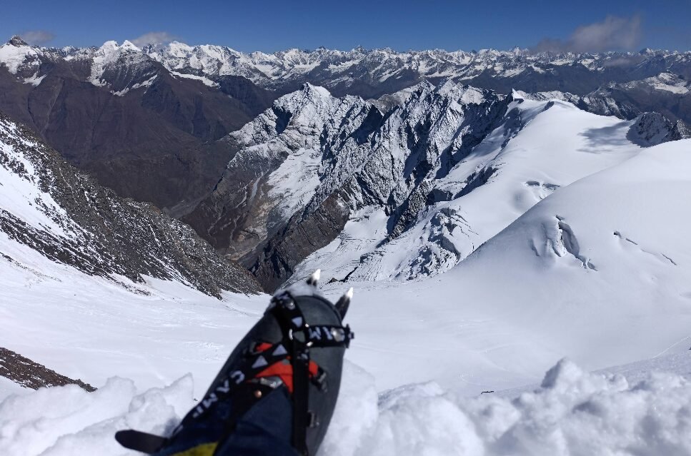
Image Source: Akarsh Rastogi / Google Maps
Ladakhi Peak: A High Summit Near Beas Kund
Approximate elevation: 5,345 metres
Ladakhi Peak is a recognised summit in the Beas Kund region, close to Shitidhar and Friendship Peak. Its elevation places it above the typical altitude reached by ordinary trekking routes in the area, and its setting is closely associated with the snow covered mountain landscape beyond Beas Kund.
The peak’s geographical position makes it particularly interesting to mountaineers studying the arrangement of summits around the upper Beas basin. Several mountains rise close together in this region, but proximity on a map does not mean that they share the same climbing route. Ridges, glaciers, crevasses and steep changes in elevation can separate neighbouring summits.
For this reason, Ladakhi Peak should be considered a distinct mountaineering objective rather than an automatic extension of the Beas Kund trek. The precise route, climbing conditions and technical requirements need to be assessed using current expedition information.
The mountain’s lesser visibility in general tourism itineraries may make it appear hidden, but the lack of widespread tourism coverage is not sufficient evidence that only a handful of climbers attempt it each year.
How to reach the approach: The usual geographical approach is through Solang Valley, Dhundi and the upper Beas Kund basin. The summit route requires a separate expedition plan and should not be attempted on the assumption that the trekking trail continues directly to the top.
Best for: Mountaineers interested in the group of high summits surrounding Beas Kund and the upper Pir Panjal landscape.
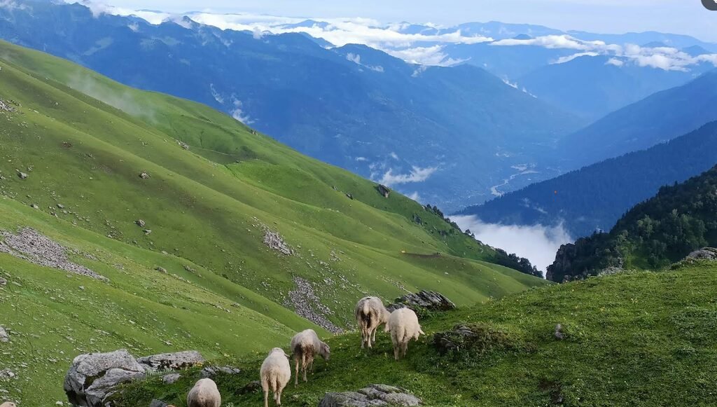
Image Source: Kt Rajput / Google Maps
Khanpari Tibba: A Mountain Above Manali’s Forested Slopes
Approximate mapped elevation: 4,025 metres
Khanpari Tibba is a mountain associated with the hills above Manali, but its geographical setting differs from the glaciated summits surrounding Beas Kund. Mapped geographical information places it at approximately 4,025 metres, rather than the frequently repeated estimate of 4,600 metres.
This distinction matters because Khanpari Tibba should not automatically be described as a high glaciated peak. Its landscape is more closely associated with the mountain slopes and forested uplands around Manali. The terrain, route length and seasonal challenges therefore need to be evaluated separately from those of Friendship Peak or Ladakhi Peak.
The surrounding hills provide opportunities for mountain walks and exploration, but the precise route to the summit should be verified before a dedicated climb is planned. Online maps can help establish the mountain’s location, although they are not a substitute for current trail information or a detailed topographic map.
Khanpari Tibba’s interest lies partly in its proximity to Manali. It demonstrates that the local mountain landscape extends beyond the famous peaks and the main Solang Valley trekking corridor.
How to reach the approach: Begin from Manali and confirm the appropriate trailhead and route with local mountain guides. Do not assume that the peak is reached by the standard Solang Valley route simply because it is in the wider Manali region.
Best for: Experienced hill walkers and mountaineers researching the less prominent summits above Manali. Route difficulty and access should be confirmed locally.
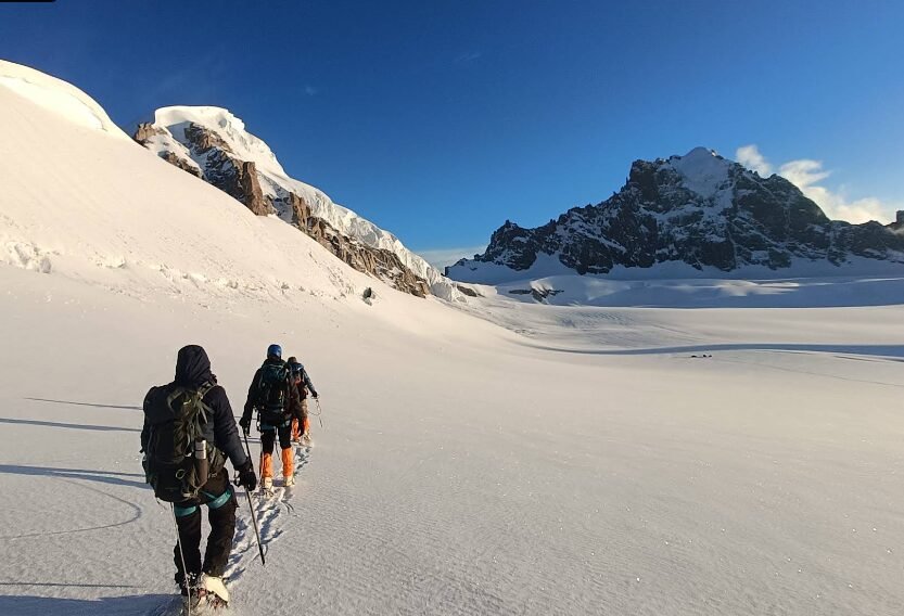
Image Source: Akshit Chopra / Google Maps
Deo Tibba: A Major Summit Above Jagatsukh
Approximate elevation: 6,001 metres
Deo Tibba is one of the most important mountaineering peaks in the Kullu region. Rising to approximately 6,001 metres in the Pir Panjal Range, it stands southwest of Manali above the Jagatsukh area and forms part of a dramatic landscape of glaciers, ridges and high mountain valleys.
Unlike the more accessible trekking summits, Deo Tibba is a major expedition objective. Its established climbing history includes a first ascent in 1952 by Dr J. de V. Graaff and his party. The mountain has since become a recognised objective for organised mountaineering expeditions.
The approach commonly uses the Jagatsukh side of the mountain, travelling through the upper valley towards camps in the direction of the Seri and Duhangan glacier region. The route involves much more than gaining elevation: climbers must negotiate high mountain terrain, manage acclimatisation and evaluate objective hazards such as rockfall, crevasses and unstable snow or ice.
Deo Tibba is particularly significant for understanding the geography of the surrounding peaks. It forms part of a mountain complex that includes Indrasan and numerous subsidiary ridges. However, those nearby ridges should not all be treated as independent named summits without reliable topographic evidence.
The mountain is not a hidden or rarely climbed objective in the strict sense. Its importance lies in its elevation, technical demands and established mountaineering history.
How to reach the approach: Travel from Manali towards Jagatsukh and the associated upper valley roadhead. The approach to base camp requires several days of trekking, depending on the itinerary and camp locations. A summit attempt requires an experienced expedition team, appropriate permissions and current route information.
Best for: Experienced mountaineers with suitable high altitude and alpine climbing experience.
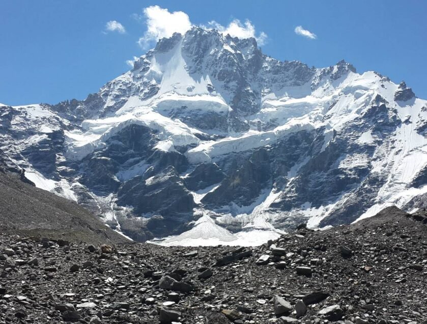
Image Source: Ankur Pandit / Google Maps
Indrasan
Approximate elevation of Indrasan: 6,221 metres
Indrasan is a major Himalayan summit in the Kullu region, rising to approximately 6,221 metres. It is associated with the same broad high mountain landscape as Deo Tibba and lies within a complex of steep ridges, glacial basins and connecting cols.
The mountain itself is a recognised mountaineering objective. Its subsidiary ridges and neighbouring high points, however, require more careful identification. Not every prominent projection on the skyline has a separate official name, and not every unnamed point is necessarily unclimbed.
For climbers interested in exploration, the region’s complex topography is important. A ridge that appears straightforward from a distant viewpoint may involve steep rock, corniced snow, exposed traverses or difficult glacier access. High altitude conditions can make retreat just as challenging as the ascent.
The area also illustrates why claims about unexplored peaks should be made cautiously. Establishing whether a summit has been climbed requires checking expedition reports, maps and mountaineering records rather than relying on the absence of tourist information.
How to reach the approach: The wider approach is from the Manali side into the upper mountain valleys associated with the Deo Tibba and Indrasan region. The exact approach depends on the intended route and summit. An expedition team must confirm the route, access requirements and current hazards before travel.
Best for: Experienced mountaineers interested in technical alpine objectives and subsidiary ridges around a major Himalayan summit.
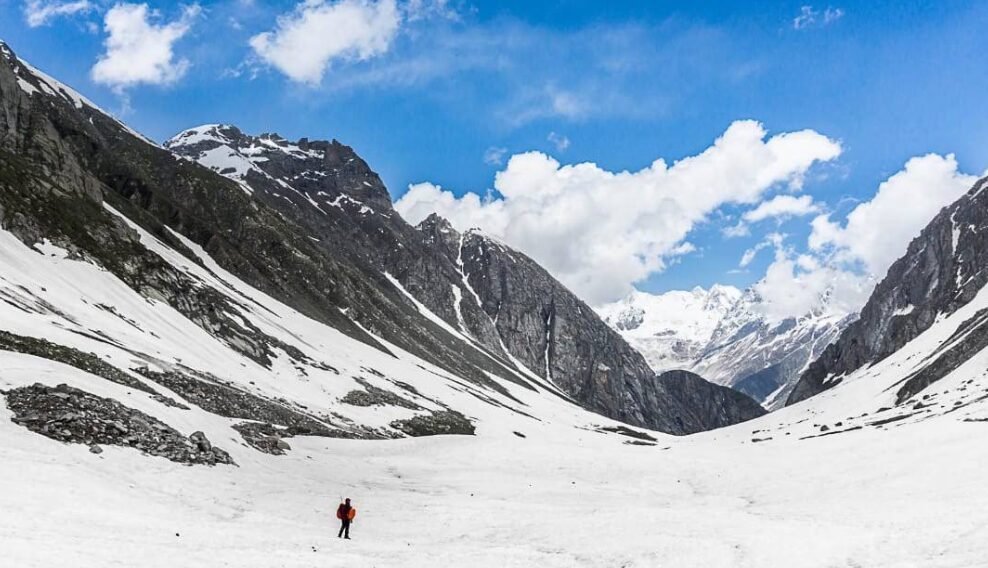
Image Source: Pandu/ Google Maps
Hamta Ridge
Elevation: Depends on the individual ridge and summit
Hamta Pass is a well-known high mountain crossing between the Kullu Valley and the Chandra Valley in Lahaul. The pass is commonly listed at approximately 4,270 metres, although published figures can vary. It is popular among trekkers because the route crosses a striking transition from the greener Kullu side to the drier landscape of Lahaul.
The ridges and high mountain slopes surrounding Hamta Pass form a much broader landscape than the trekking route itself. Beyond the established trail are subsidiary ridges and mountain features whose difficulty depends on their exact position, rock structure, snow conditions and connection to nearby glaciers.
These features should not be collectively assigned an elevation range of 4,800 to 5,200 metres without identifying the individual summits on a reliable map. The Hamta region includes terrain at different elevations, and an unnamed ridge does not automatically constitute a recognised peak or independent climbing objective.
For travellers, the established Hamta Pass trek provides a way to appreciate the geography of the area. For climbers, any attempt to move beyond the standard route requires independent route research and the skills to assess terrain that may not be covered by ordinary trekking guides.
How to reach the approach: From Manali, travel towards Prini and the Hamta roadhead. The established trekking route proceeds on foot through the valley towards Hamta Pass. Access to a subsidiary summit or ridge requires a separately researched route rather than simply following the pass trail.
Best for: Experienced trekkers and mountaineers interested in the geography beyond a well-known mountain crossing.
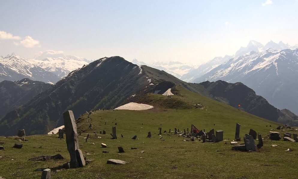
Image Source: Vidhan Shah/ Google Maps
Chandrakhani Ridge: High Meadows and Mountain Summits Above Naggar
Elevation: Approximately 3,660 metres at Chandrakhani Pass; nearby summits vary
Chandrakhani Pass is a recognised high altitude crossing above the Kullu Valley, connecting the Naggar side with the Malana region. At approximately 3,660 metres, it is considerably lower than the major 5,000 and 6,000 metre mountaineering peaks around Manali. Its significance lies in its historical route, open meadows and panoramic mountain setting rather than in technical summit climbing.
The approach passes through forested slopes before reaching higher grasslands and open terrain. From suitable viewpoints, trekkers may see prominent peaks across the wider Kullu and Pir Panjal landscape. The pass is also associated with traditional movement between settlements, including routes historically used by shepherds and local travellers.
The surrounding ridges contain additional high points, but it would be misleading to assign all of them a uniform elevation of 4,800 metres or more. The pass itself is well below that level, and the exact height and identity of nearby summits must be established individually.
Chandrakhani is therefore best understood as a trekking gateway into a mountain landscape rather than a climbing expedition in its own right. Reaching the pass does not mean that the surrounding peaks have been climbed, nor does it establish that they are unclimbed.
How to reach the approach: Travel from Manali to Naggar and continue towards Rumsu, a common starting point for the Chandrakhani Pass trek. The route proceeds on foot through forest and meadow terrain. A separate climbing plan is required for any additional summit beyond the established pass route.
Best for: High altitude trekking, mountain photography and exploring the ridge landscape between the Kullu and Malana regions.