Image Source: Atongmorot
About Balpakram
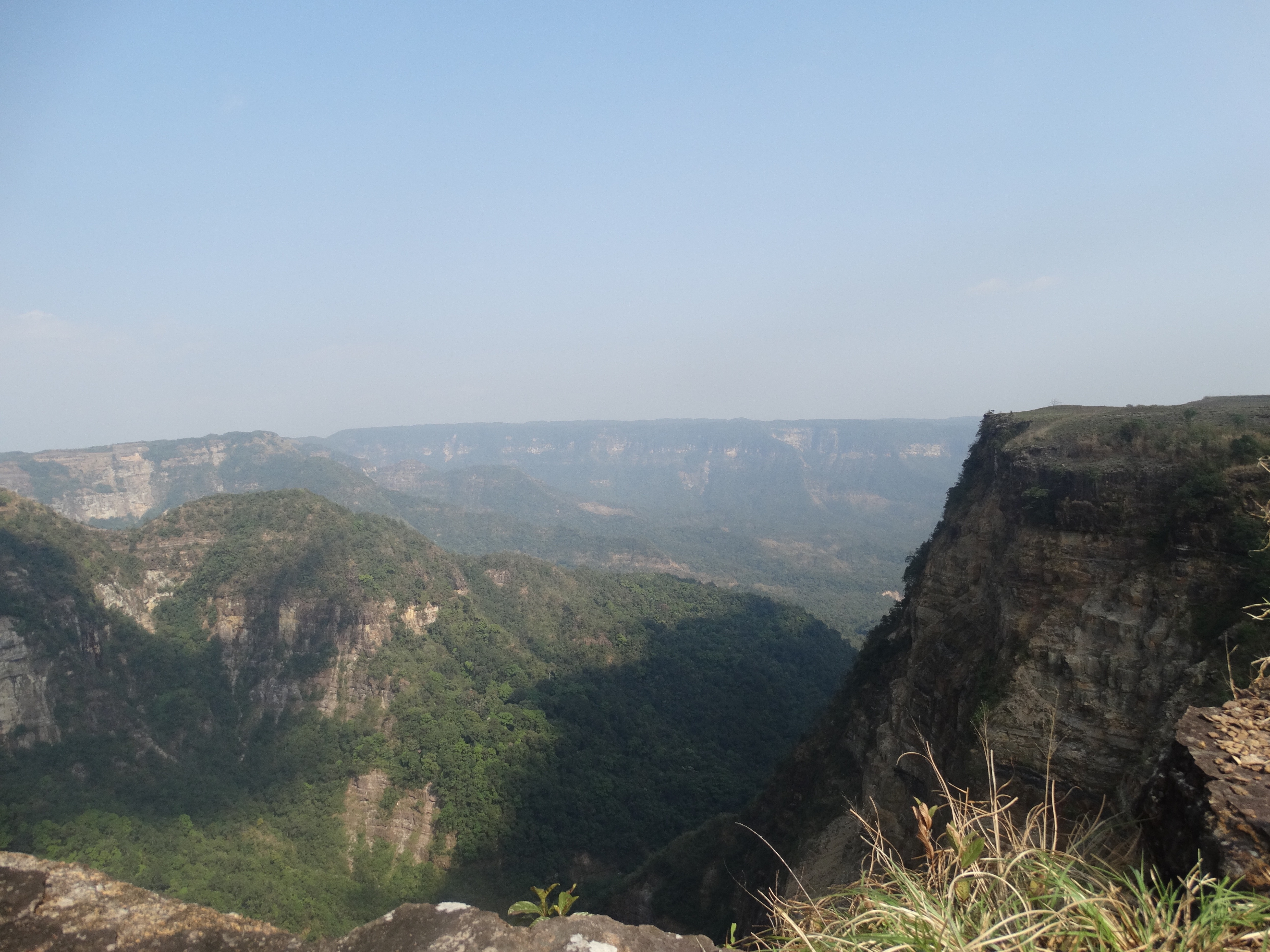
Balpakram, often called the “Land of Perpetual Winds,” is one of the most fascinating destinations in Meghalaya, located within Balpakram National Park in South Garo Hills. Known for its rich biodiversity, deep gorges, plateaus, and mythological significance, Balpakram offers several trekking routes that let travelers experience untouched nature and tribal folklore.
Trekkers are greeted with enchanting views of cliffs, caves, waterfalls, and sacred sites believed to be associated with spirits in Garo mythology.
Trekking Routes
Balpakram has multiple trekking trails catering to different levels of difficulty:
Chidimak Gorge Trail – This trail leads to the deep gorge locally referred to as the “Grand Canyon of the East,” offering breathtaking views.
Tangkrek Trail – A moderate trek through forested paths, leading to viewpoints where one can see elephants, deer, and rare birds.
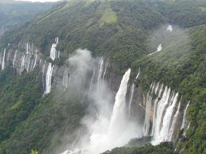
Boldak Falls Trek – A scenic hike to waterfalls hidden deep inside the forest.
Mythological Trails – Some treks pass through sacred grounds linked to Garo legends, where locals believe spirits rest before departing to the afterlife.
Each route reveals different aspects of Balpakram’s ecosystem, from dense tropical forests to grassy plateaus.
Best Time to Trek
The ideal time to explore Balpakram trekking routes is from October to April, when the weather is dry and favorable. The monsoon months (June–September) are best avoided as trails can be slippery and inaccessible.
How to Reach
By Air: The nearest airport is Shillong Airport (Umroi), about 250 km from Balpakram. Guwahati Airport (Assam) is another option, around 300 km away.
By Train: The closest railway station is Guwahati Railway Station, well-connected to major Indian cities.
By Road: Balpakram is accessible from Baghmara (about 45 km), which is the main town in South Garo Hills. Shared jeeps, taxis, and buses are available from Shillong and Tura to Baghmara.
Tips for Trekkers
Hire a local guide, as trails are not always well-marked and the forest is dense.
Carry sturdy trekking shoes, water, and basic supplies, as facilities are limited in remote areas.
Respect local beliefs and sacred sites, as Balpakram holds spiritual importance for the Garo tribe.
Early morning treks are best for spotting wildlife like elephants, wild buffalo, and hornbills.
Nearby Attractions
Located in the South Garo Hills of Meghalaya, Balpakram National Park is surrounded by several fascinating natural and cultural attractions that can be explored during your visit. The park itself is known for its dramatic canyons, rich biodiversity, and spiritual significance in Garo folklore. It is often referred to as the “Land of Perpetual Winds” and the “Land of Spirits.”
1. Siju Cave
One of India’s longest limestone cave systems, Siju Cave is famous for its impressive stalactites, stalagmites, and underground passages. It is located near the Simsang River and is a must-visit for adventure lovers.
2. Siju Bird Sanctuary
Situated along the Simsang River, this sanctuary is home to numerous migratory and resident bird species. Birdwatchers can spot hornbills, eagles, kingfishers, and other exotic birds.
3. Baghmara Reserve Forest
A dense forest area near Baghmara known for wildlife sightings, nature trails, and scenic landscapes. It serves as a gateway to many attractions in the South Garo Hills.
4. Simsang River
The lifeline of the region, the river offers beautiful viewpoints, fishing opportunities, and picnic spots amidst lush greenery.
5. Nokrek National Park
A UNESCO Biosphere Reserve known for its rich wildlife, trekking routes, and rare species of flora and fauna. It is one of Meghalaya’s most important protected areas.
6. Rongbang Dare Waterfall
A picturesque waterfall near Tura surrounded by thick forests, ideal for photography and nature walks.
7. Tura Peak
The highest point in the Tura range, offering panoramic views of the Garo Hills and surrounding valleys.