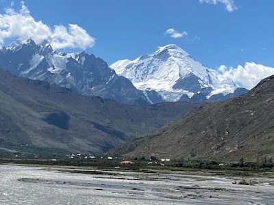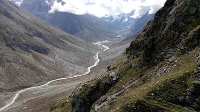
Image Source: Pradeep Parihar
About Umasi La
The Umasi La trek is easily one of the most dramatic and diverse journeys you can take in the Indian Himalayas. More than just a high-altitude adventure, this route connects the lush Paddar Valley in Kishtwar to the stark and remote Zanskar.
What makes this trek truly special is how quickly the landscape changes. In just 8–10 days, you move from dense green forests to alpine meadows, then into glacial terrain, and finally into the cold desert of Ladakh. Historically, this ancient trail was also used by Zorawar Singh during his Tibet campaign, adding a layer of historical intrigue to the journey.
From Forested Valleys to Alpine Meadows
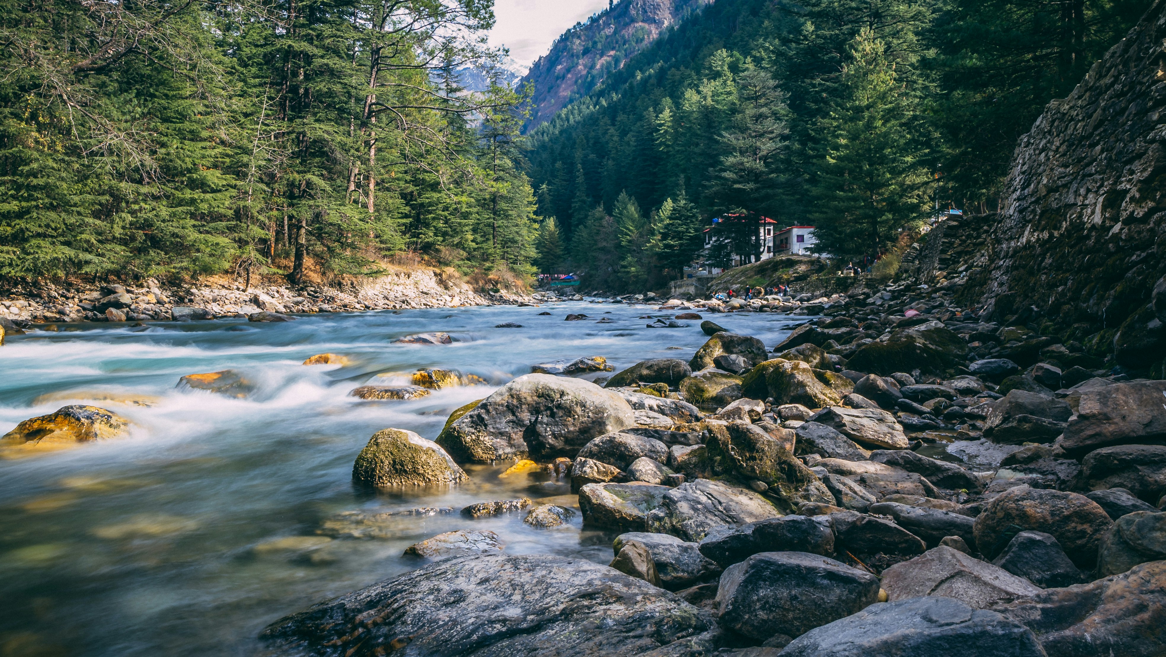
The trek typically begins from Gulabgarh, a small settlement in the Paddar Valley. This region lies in the lower Himalayan belt and is rich in vegetation. The valley is carved by the Bhut Nala, and the surrounding slopes are covered with dense forests of deodar, pine, and oak.
Thanks to the southwest monsoon, this region receives relatively high rainfall—something you rarely associate with Ladakh. As a result, the landscape here feels alive and vibrant, offering a striking contrast to what lies ahead.
As you gradually climb toward places like Kaban and Chishoti, the thick forests begin to thin out. You enter the subalpine zone, where the terrain opens up into rolling alpine meadows, locally known as bugyals. These grassy expanses come alive during summer and are used as grazing grounds by the Brokpa shepherds.
Entering the Glacial Realm
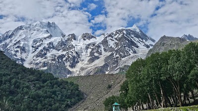
Beyond the meadows lies Mamarnag, where the landscape begins to change dramatically. This is where glacial features dominate—U-shaped valleys, scattered moraines, and small glacial lakes tell the story of ancient ice movement.
As you approach the base camp of Umasi La, the terrain becomes more rugged and demanding. The ground is often unstable, shaped by freeze-thaw cycles, with loose rocks and scree slopes making every step more challenging.
The pass itself sits at an altitude of around 5,300 meters. Crossing it involves navigating snowfields and icy patches—a true test of endurance and skill. Up here, the Himalayas feel raw and untouched, shaped by glaciers and tectonic forces over millions of years.
Transition into the Cold Desert
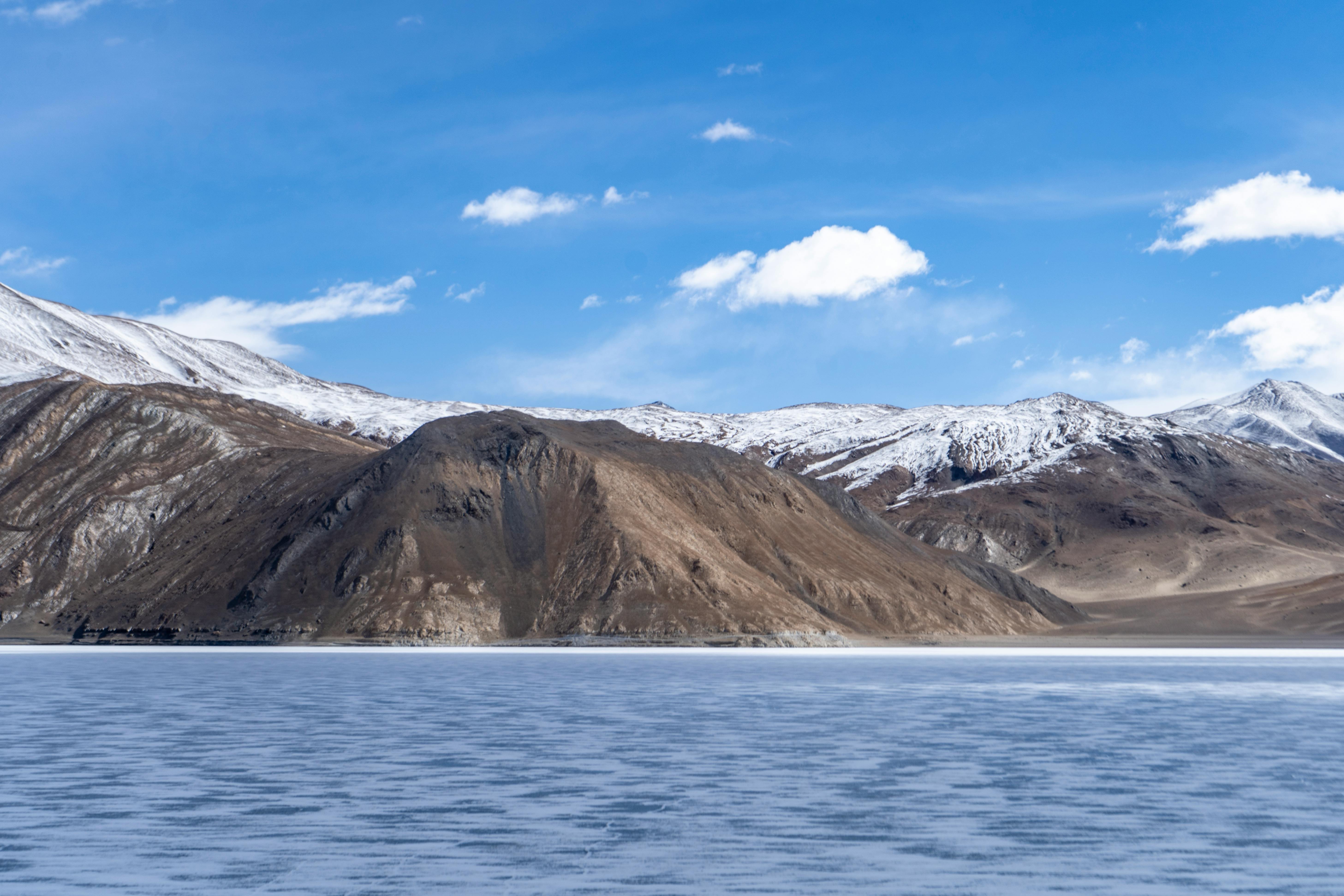
Once you cross Umasi La, the transformation is immediate and striking. You enter the Trans-Himalayan region of Zanskar, which lies in a rain-shadow zone. Annual rainfall here is extremely low, often less than 200 mm.
The lush greenery disappears, replaced by barren, wind-sculpted landscapes of rock and dust. The mountains look sharper, the air feels drier, and vegetation becomes scarce.
As you descend further, the first signs of civilization appear near Sumdo. Buddhist elements such as chortens, prayer flags, and mani walls signal a shift not just in geography, but also in culture. Farming here is limited to hardy crops like barley and buckwheat, adapted to the harsh conditions.
Hydrology and Watershed Divide
One fascinating aspect of Umasi La is its role as a natural watershed divide. On the southern side, meltwater flows into the Bhut Nala, eventually joining the Chenab River.
On the northern side, glacial streams drain into the Tsarap River, a major tributary of the Zanskar River, which ultimately merges with the mighty Indus River.
Culture and Human Adaptation
The trek concludes at Padum, the administrative center of Zanskar. Along the way, you’ll come across ancient monasteries like Karsha Monastery and Stongdey Monastery, which reflect the deep-rooted Buddhist culture of the region.
What’s fascinating is the contrast in lifestyles across the trek. In Paddar, communities like the Bakarwals and Gujjars depend on forests and seasonal migration. In Zanskar, people have adapted to extreme cold and arid conditions, relying on solar heating, high-altitude farming, and yak-based transport.
This journey isn’t just about landscapes—it’s also about understanding how geography shapes culture, livelihood, and survival in the Himalayas.
Best Time to Visit
The ideal time to attempt the Umasi La trek is between July and September, when the snow has melted enough to make the pass accessible and the weather is relatively stable.
Why Choose the Umasi La Trek?
If you’re looking for a trek that goes beyond scenic beauty and offers a deep geographical, cultural, and historical experience, Umasi La delivers on all fronts. It’s challenging, remote, and incredibly rewarding—a true expedition into the heart of the Himalayas.
Google Maps
FAQs
1. Where is Umasi La located?
Umasi La is a high mountain pass connecting Paddar Valley in Jammu and Kashmir to the Zanskar region in Ladakh.
2. What is the altitude of Umasi La?
The pass is located at an altitude of approximately 5,300 meters above sea level.
3. How difficult is the Umasi La trek?
It is considered a challenging trek due to high altitude, glacial terrain, and long trekking days. Prior trekking experience is recommended.
4. How long does the trek take?
The trek usually takes around 8 to 10 days, depending on the route and pace.
5. What is the best time to visit?
July to September is the best time, as the pass is accessible and weather conditions are more stable.
6. What makes this trek unique?
The trek offers extreme geographical diversity—from forests and meadows to glaciers and cold deserts—along with rich cultural contrasts.
7. Do I need a guide for this trek?
Yes, due to its remote location and difficulty level, it’s highly recommended to go with an experienced guide or trekking agency.
8. Is acclimatization important?
Absolutely. Proper acclimatization is essential to avoid altitude sickness, as the trek reaches over 5,000 meters.