Introduction
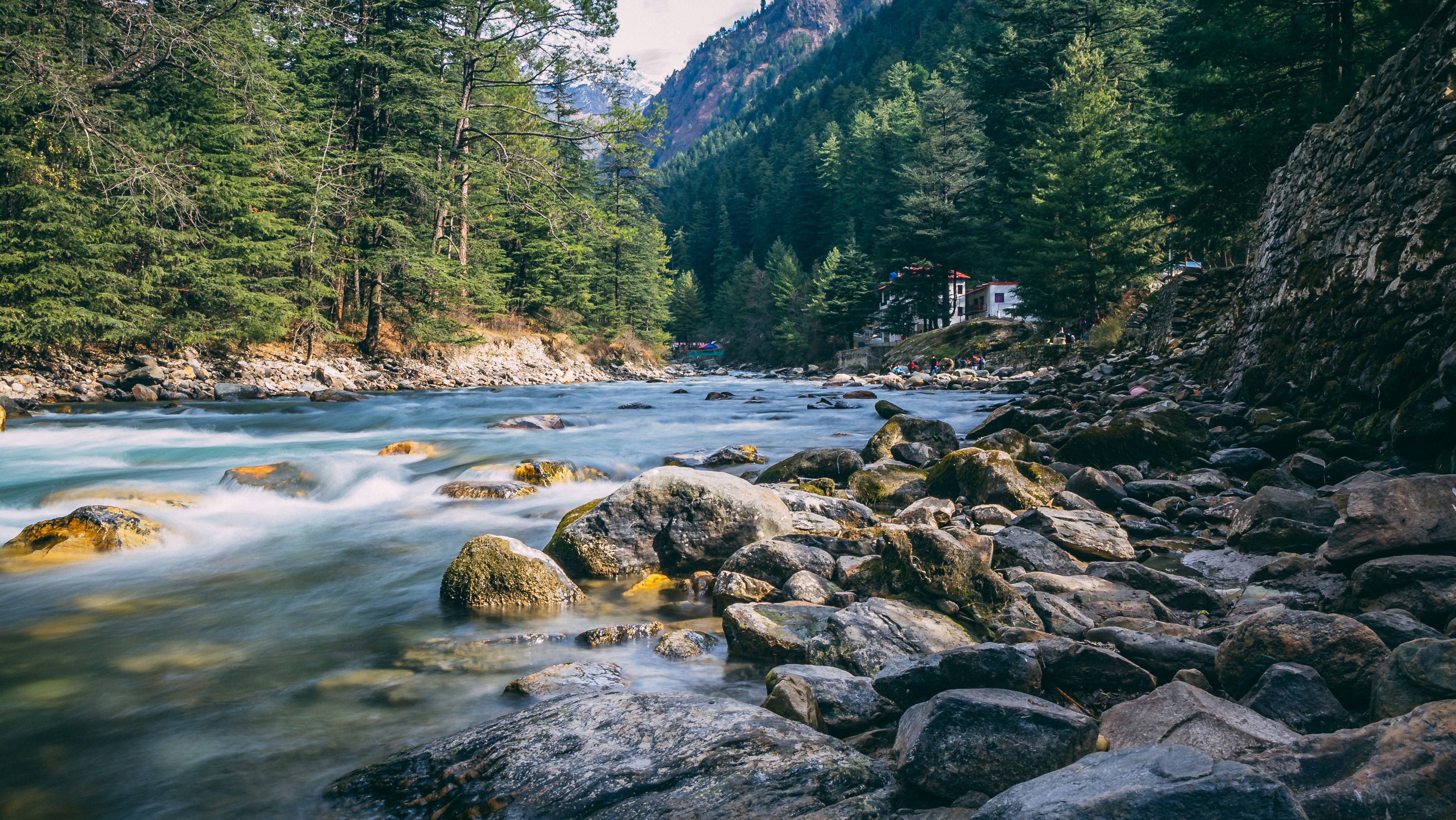
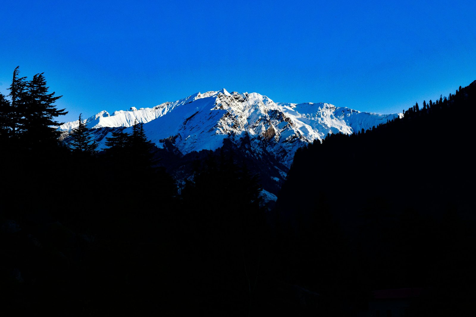
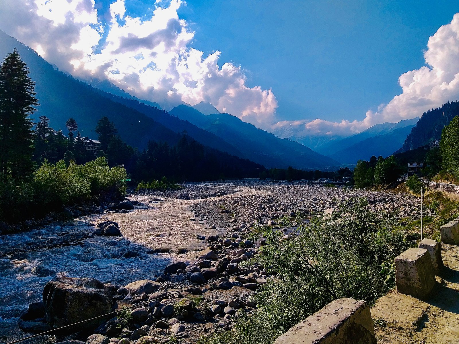
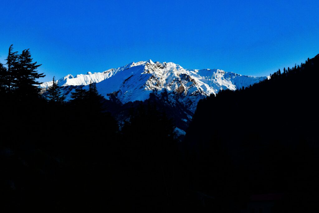
Manali is surrounded by mountain landscapes that extend far beyond its busy market, the Rohtang road and the familiar viewpoints of Solang Valley. As trekking trails climb through cedar and pine forests, they eventually reach open grasslands where the trees thin out, mountain streams cross the slopes and the surrounding Himalayan peaks become more visible. In the Kullu region, many such high mountain pastures are known locally as thach or thatch.
These meadows are more than scenic places for trekkers. They are part of the seasonal landscape used by shepherds, trekking groups and mountaineers. Some are established campsites on popular routes, while others form broad grazing grounds beneath high ridges. Their appearance changes considerably through the year, from snow covered slopes in spring to green grasslands during the warmer months.
Several established meadow areas can be explored around Manali, including Panduropa and Seri on the Deo Tibba and Hamta trekking routes, the grasslands above Gulaba on the Bhrigu Lake trail, and Lamadugh above Manali. The Chandrakhani Pass route also crosses mountain pastures above the villages around Naggar and Rumsu. However, not every meadow has a reliably documented individual name, so it is important to distinguish established destinations from local descriptions that cannot be independently confirmed.
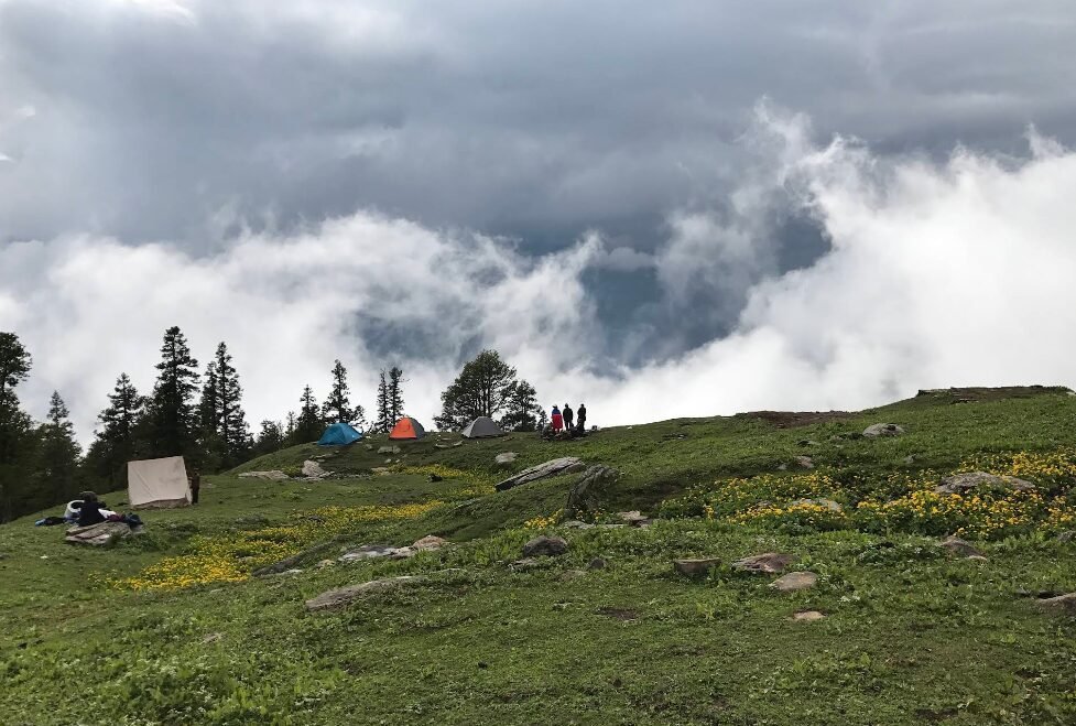
Image Source: Sapna Joshi/ Google Maps
Panduropa Thach: A Traditional Grazing Area on the High Mountain Trail
Panduropa is a recognised place name associated with trekking routes in the high mountains around Manali. It appears in route descriptions for the Bhrigu Lake and Deo Tibba trekking areas, although its precise position depends on the trail being followed. The name is also connected in some accounts with the Pandavas, the central figures of the Mahabharata.
The landscape around these upper mountain grazing grounds includes open grassland, forest edges and rocky slopes. During the warmer season, shepherds and their livestock use suitable pastures, while trekkers encounter changing views as they move away from the forested valleys.
The story that the Pandavas cooked their final meal of exile at Panduropa is a local legend rather than an established historical event. It can be included as folklore, but it should not be presented as proven history without a reliable source documenting the tradition.
How to reach Panduropa
Panduropa is associated with more than one trekking itinerary in the Manali region. Some route descriptions place it on the Bhrigu Lake trail, while others include it on the Deo Tibba trekking route. These are different journeys and should not be combined into a single set of directions.
Travellers should confirm the exact trail and campsite sequence with a local guide or trekking operator before setting out. Neither route should be treated as a short walk from Manali.
Best time to visit: The main trekking season is generally late spring to early autumn, subject to snow, rain and current trail conditions.
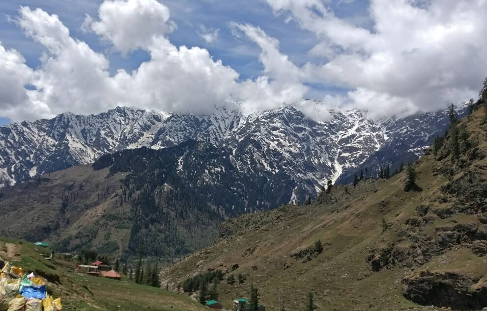
Image Source: saiprasad palekar/ Google Maps
The Meadows Above Gulaba: Grasslands on the Bhrigu Lake Trek
The mountain slopes above Gulaba form one of the best known meadow landscapes on the Manali to Rohtang road. Gulaba itself is a recognised roadside destination, while the trekking route beyond the roadhead climbs through forest and open grassland towards the higher terrain surrounding Bhrigu Lake.
Rather than describing the entire area as a single officially named “Bhrigu Thach,” it is more accurate to refer to the meadows above Gulaba and the established camping areas along the Bhrigu Lake trail. Trekking itineraries commonly mention Jonker Thach and Rola Kholi as overnight stops before the route continues towards the lake.
The appeal of these meadows lies in their open views and seasonal vegetation. Once the trail rises above sections of forest, the landscape becomes more expansive, with grassy slopes, rocky ridges and views towards the Pir Panjal and Dhauladhar ranges. In summer, the grasslands can turn green and support seasonal alpine flowers.
How to reach the meadows
From Manali, travel along the Manali to Rohtang road towards Gulaba. The trekking route begins near the designated roadhead and continues on foot. Depending on the itinerary, visitors may stop at Jonker Thach or Rola Kholi before continuing towards Bhrigu Lake.
Gulaba is accessible by road when conditions allow, but the higher meadows are reached by walking. The lake itself lies at a substantially higher elevation and requires a longer trek.
Best time to visit: Late spring through early autumn is the main trekking period. Snow may remain on higher ground in early summer, and monsoon weather can make trails slippery.
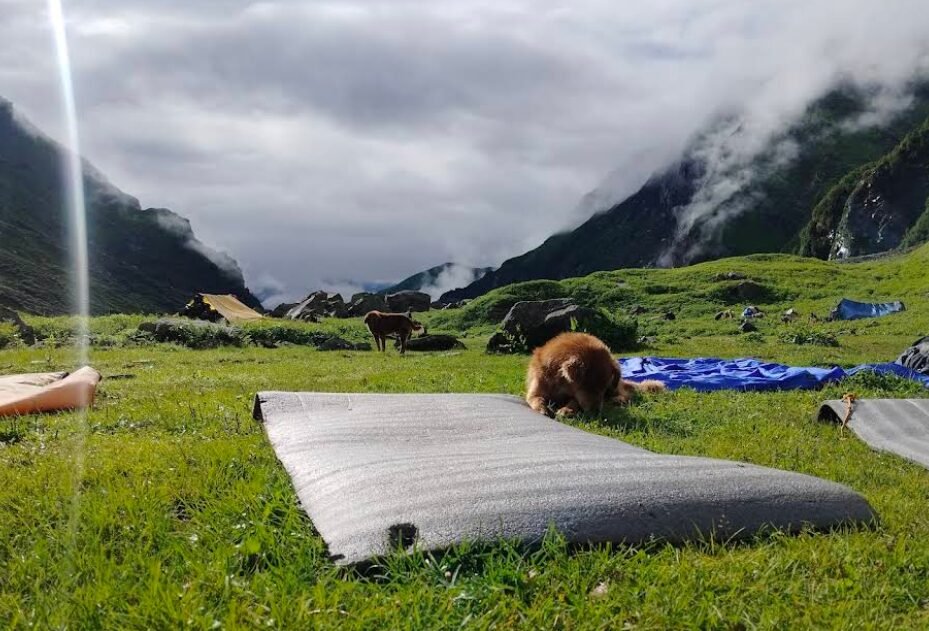
Image Source: Sapna Joshi/ Google Maps
Seri Meadow: The High Grassland on the Deo Tibba Trek
Seri is one of the more clearly established meadow destinations in the mountains above Jagatsukh. It forms an important section of the Deo Tibba base camp trekking route and is known for its broad, relatively open alpine terrain. After the trail climbs through forest, the landscape gradually opens into grassland, with streams crossing the meadow and mountain slopes rising around it.
Seri is especially interesting because its scenery differs from the forested approaches lower down. The open terrain offers space for camping in designated areas and gives trekkers a sense of entering the higher Himalayan landscape. Trekking descriptions also identify the area as a former glacial lake basin, although detailed geological claims should be tied to a specialist source if discussed in depth.
During the warmer months, the meadow may be green and crossed by small streams. Higher peaks and rocky slopes provide the backdrop, while the route continues towards Tainta and the higher base camp region beneath Deo Tibba.
How to reach Seri
The established approach begins around Jagatsukh, a village near Manali. Trekkers generally continue by road to the trailhead near Khanol before following the mountain route through forest and the Chikka campsite towards Seri. From Seri, the route proceeds to Tainta and the higher Deo Tibba base camp area.
This is a multi day trekking route, not a roadside sightseeing destination. The terrain becomes rougher with elevation, and stream crossings, weather changes and altitude need to be considered.
Best time to visit: The warmer months are generally the most suitable, although the precise trekking window depends on snow cover, rainfall and the condition of the upper trail.
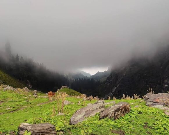
Image Source: Mohd Amin/ Google Maps
Chikka Meadow: A Campsite on the Deo Tibba Route
Chikka, also written as Chhika or Chikka campsite in trekking itineraries, is an established stopping point on the Deo Tibba base camp route. It is reached after leaving the roadhead near Khanol and climbing through forested mountain terrain.
The landscape around Chikka is a transition between the lower forest belt and the more open high mountain terrain encountered farther along the route. Streams, rocky clearings and patches of grassland make it a natural place for a trekking halt. It is important, however, not to confuse the Chikka campsite with an independently documented meadow called “Chikka Thach.” The established destination is the campsite and trail area.
For travellers interested in understanding how the landscape changes with altitude, Chikka offers a useful stage on the journey towards Seri. The forested surroundings gradually give way to more exposed slopes and larger mountain views as the trek continues.
How to reach Chikka
Travel from Manali towards Jagatsukh and then continue to the usual trekking roadhead near Khanol. From there, follow the marked or locally guided route through the forest to Chikka. Trekkers generally continue onwards to Seri rather than treating Chikka as a standalone roadside attraction.
Best time to visit: The main trekking season is during the warmer months, depending on weather and trail conditions. Visitors should arrange camping and supplies through a reputable operator if they are unfamiliar with the route.
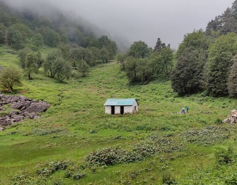
Image Source: Sunil Lama/ Google Maps
Lamadugh: The Meadow Above Manali
Lamadugh is a recognised trekking destination above Manali, known for its open mountain grassland and views across the surrounding Himalayan landscape. The route climbs from the forested slopes above town, passing through woodland before reaching more open terrain.
Unlike the longer journeys towards Deo Tibba or Mantalai, Lamadugh is often approached as a shorter mountain excursion from Manali. The transition from forest to meadow is part of its appeal. Trekkers can experience the quieter upper slopes, changing vegetation and broad views without committing to a multi day expedition into a remote valley.
The meadow is a seasonal landscape rather than a place that remains green throughout the year. Snow can cover the route in colder months, while summer brings more exposed grassland. Visibility depends on weather, and clouds can obscure the mountain views even during the trekking season.
How to reach Lamadugh
The trek starts from the Manali area and climbs through forested slopes towards the meadow. The exact starting point and route should be confirmed locally because trail access and recommended approaches can vary. A local guide is helpful for visitors unfamiliar with the forest paths.
Although Lamadugh is commonly treated as a day trek, the uphill climb requires reasonable fitness, appropriate footwear and enough time to return before dark.
Best time to visit: Late spring to autumn is generally the practical period, subject to snow and weather. During monsoon, wet forest trails and poor visibility can make the walk more difficult.
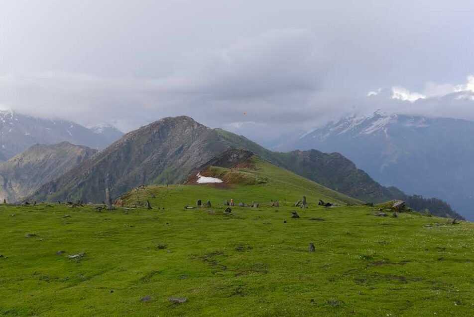
Image Source: Abhishek Thakur/ Google Maps
Chandrakhani Pass Meadows: Alpine Pastures Above Naggar and Rumsu
The Chandrakhani Pass trekking route crosses mountain terrain above the villages around Naggar and Rumsu. Along the route, forest gives way to open slopes and grazing areas, with broad views across the Kullu region and the surrounding mountain ranges. These grasslands are best described as the meadows along the Chandrakhani Pass trail rather than as one officially named group called “Chandrakhani Ridge Meadows.”
The route is also culturally interesting because it connects landscapes associated with villages in the Kullu Valley and the Malana side of the mountains. Chandrakhani Pass is known for its mountain scenery and its place in local traditions. The pastures along the trail reflect the seasonal use of high mountain terrain, although specific grazing practices should not be assumed to be identical across every meadow.
The experience changes with the season. During summer, open slopes can become green, while snow may remain on higher sections earlier in the year. On clear days, the route offers expansive views, but the exposed terrain can also be affected by strong winds and rapidly changing weather.
How to reach the Chandrakhani meadows
A common approach is from the Rumsu area near Naggar, following the established trekking route towards Chandrakhani Pass. The precise itinerary depends on the chosen route and whether the trek is planned as a short outing or a longer journey towards Malana.
Visitors should not assume that every pasture along the ridge has a separate name or that all sections are accessible without a guide. Confirm the current trail, duration and local conditions before starting.
Best time to visit: The warmer months generally provide the most practical trekking conditions, but snow and weather can affect access to the pass and adjoining slopes.
Life of Shepherds in the High Mountain Pastures
The high meadows of the Kullu Himalaya are part of a wider pastoral landscape. Seasonal movement of livestock between lower valleys and higher grazing grounds has long been a feature of Himalayan life. Gaddi pastoralists are among the well known transhumant shepherd communities of Himachal Pradesh, although local pastoral communities and their routes vary across the region.
During the warmer months, suitable high altitude pastures provide grass for sheep and goats. Shepherds may use temporary shelters or established grazing camps, depending on the terrain and local practice. As temperatures fall and vegetation declines, livestock movements respond to seasonal conditions.
It is important not to assume that every meadow near Manali is used by Gaddi shepherds or that all grazing grounds have the same customs. Different communities may use different pastures, and access can be influenced by land rights, conservation rules and local arrangements.
These grasslands are also part of a wider Himalayan ecosystem. Birds, mammals and other wildlife may occur in the surrounding forests and alpine terrain, but sightings are never guaranteed. Rather than promising visitors that they will see Himalayan monals, blue sheep or marmots at a particular campsite, it is better to explain that wildlife encounters depend on habitat, season and luck.
Are These Meadows Part of the Great Himalayan National Park?
The Great Himalayan National Park Conservation Area is an important protected landscape in Himachal Pradesh, but it does not encompass every high meadow around Manali. Many of the destinations described here lie in the wider Kullu mountain region and should not automatically be described as being within, or on the boundary of, the national park.
If a travel article discusses protected area boundaries, wildlife corridors or grazing restrictions, those claims should be checked against official park maps and management information. A meadow being remote or close to a mountain ridge does not by itself establish that it lies within a protected area.
Best Time to Explore the Meadows Around Manali
The most practical period for many high altitude meadow treks is late spring through early autumn, although conditions differ by route and elevation. In spring, snow may still cover the upper trails. As summer progresses, more grassland becomes exposed and streams are fed by snowmelt. During the monsoon, rainfall can make paths slippery and increase the risk of landslides and swollen streams. Early autumn can bring clearer weather, but temperatures fall quickly and snowfall may arrive at higher elevations.
Before leaving Manali, check the latest weather, road access, trail conditions and any local restrictions. For multi day treks such as Deo Tibba or Chandrakhani Pass, use an experienced local guide or a reputable trekking operator if you do not know the terrain.
Responsible Travel in Alpine Meadows
High mountain meadows are fragile environments, even when they appear broad and resilient. Stay on established trails where possible, carry back all rubbish, avoid disturbing livestock and wildlife, and ask before photographing shepherds or entering private or temporary grazing areas.
Do not light fires or camp wherever you choose. Use designated campsites and follow local rules, especially in ecologically sensitive areas. Mountain weather can change quickly, so carry warm clothing, rain protection, water, food and a basic first aid kit. On higher routes, allow time to acclimatise and turn back if conditions deteriorate.
Conclusion
The high meadows around Manali offer a different perspective on the Kullu Himalaya. The grasslands above Gulaba are part of the well known Bhrigu Lake trekking landscape, Lamadugh provides a shorter excursion above Manali, and Chikka and Seri form established stages on the Deo Tibba base camp route. The Chandrakhani Pass trail adds another way to explore the open pastures and mountain ridges above Naggar and Rumsu.
For travellers, the most useful approach is to choose a recognised route rather than rely on a long list of supposedly secret meadows. Some local pasture names may be well known to shepherds but poorly documented in public trekking sources. Confirming names and access locally helps preserve the accuracy of the travel guide and gives visitors a safer, more realistic picture of the landscape.
Frequently Asked Questions
What does “thach” mean in Himachal Pradesh?
In the Kullu and surrounding Himalayan regions, thach or thatch is commonly used in place names associated with meadows, grasslands or grazing areas. The precise meaning and spelling can vary locally.
Which meadow is easiest to explore from Manali?
Lamadugh is often approached as a day trek from Manali. However, it still involves uphill walking through forest and should not be considered an effortless stroll. Conditions and the recommended route should be checked locally.
Where can I see alpine meadows on the Deo Tibba trek?
Chikka and Seri are established stops on the Deo Tibba base camp route. Seri is particularly known for its open meadow landscape, while Chikka forms an earlier campsite along the approach from the Khanol side.
Is Panduropa connected with the Pandavas?
Local accounts associate the name with the Pandavas from the Mahabharata. The story about their stay or cooking there should be treated as folklore rather than a verified historical event.
Can these meadows be visited by car?
Some starting points, including Gulaba and the roadhead used for the Deo Tibba trek, can be approached by road when access is open. The actual meadow routes generally require walking, and some involve multi day trekking.
Will I see shepherds and wildlife in these meadows?
You may encounter grazing livestock or shepherds during the appropriate season, but their presence varies. Wildlife sightings are also unpredictable. Visitors should observe animals from a respectful distance and avoid disturbing grazing activities.